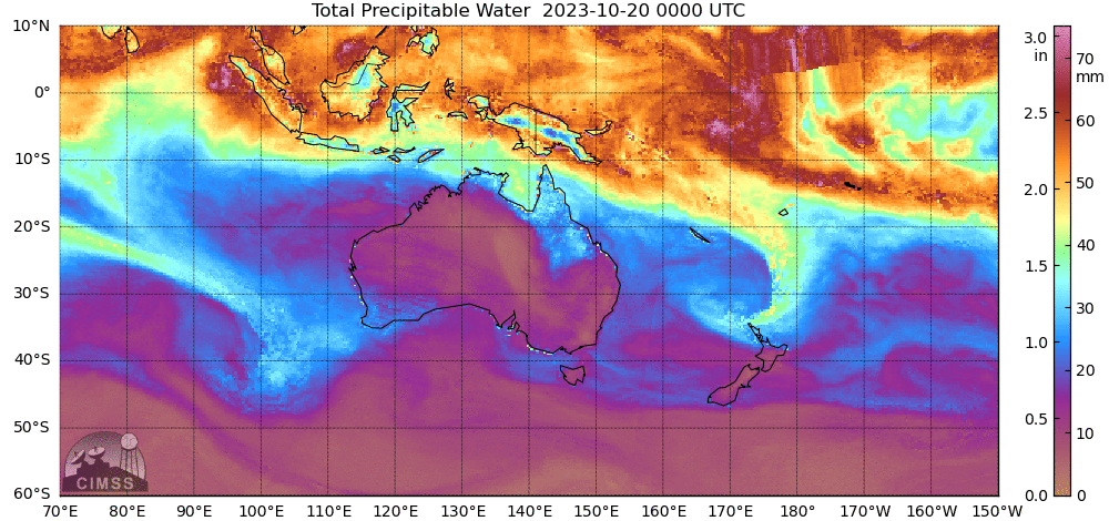
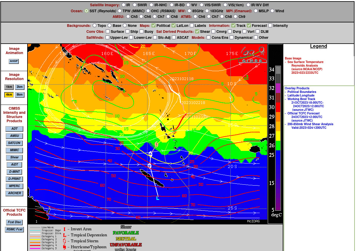
MIMIC Total Precipitable Water fields, above, show the development of Tropical Cyclone Lola near 170oE Longitude. The storm pushed south out of the western Pacific Intertropical Convergence Zone. By 0000 UTC on the 23rd, it began to entrain dry air into its circulation as it approached Vanuatu. In addition to the intrusion of dry air noted above, the projected path of the storm, shown below, is towards higher latitudes where cooler SSTs and stronger wind shear is diagnosed (imagery taken from the SSEC/CIMSS Tropical Website).
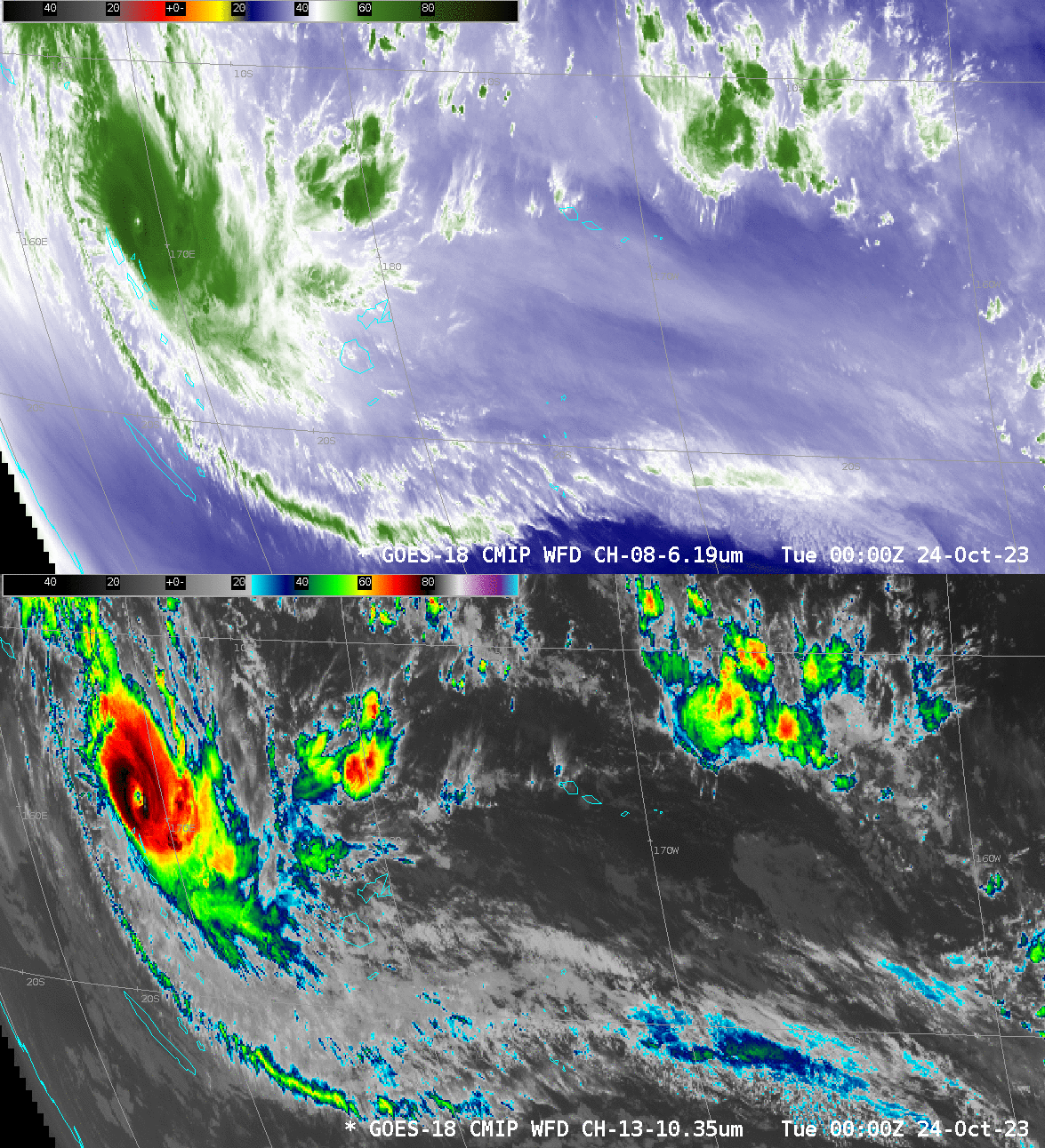
GOES-18 imagery from 0000 – 0600 UTC on 24 October show Lola losing an eye. The storm itself is becoming more asymmetric as well. There remains, however, a well-developed outflow channel moving poleward from the storm and then being entrained into the westerlies around 20oS.
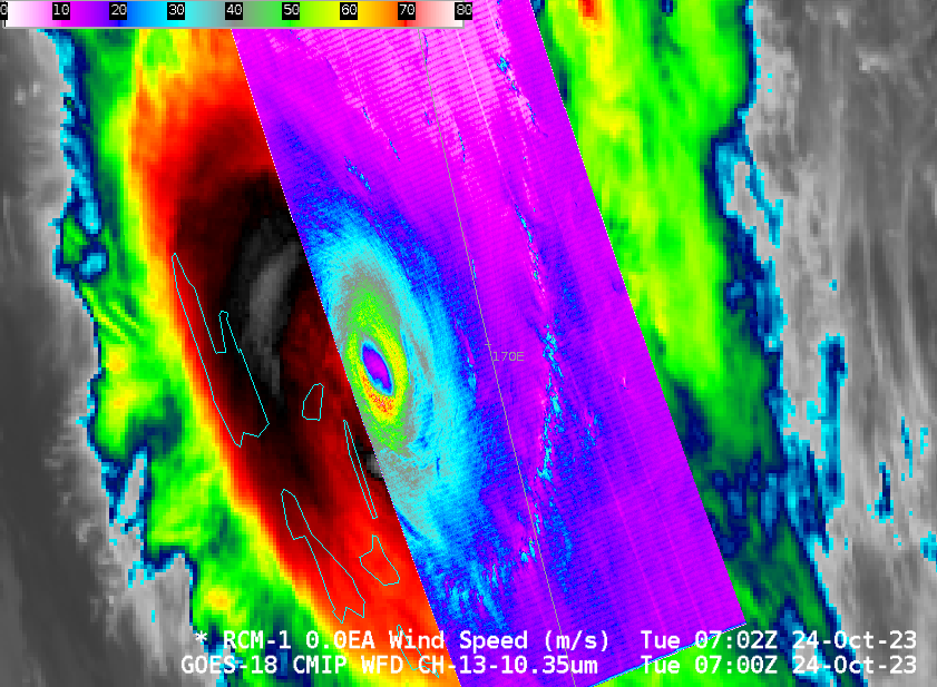
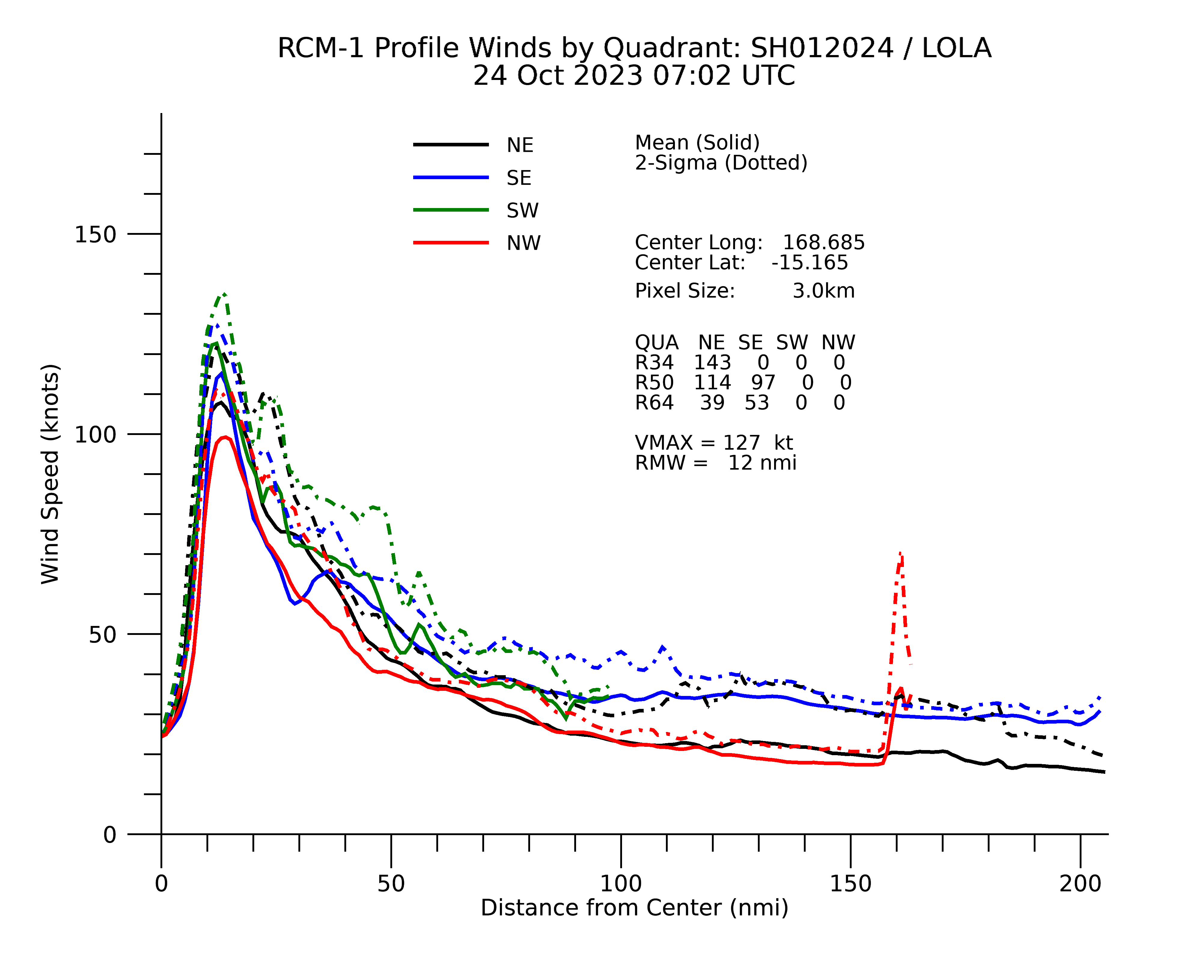
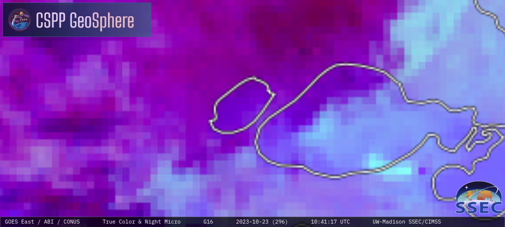
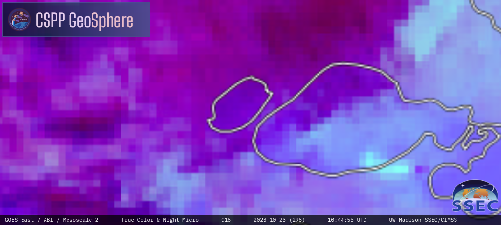
Shortly after 0700 UTC on 24 October, RCM1, and then Sentinel-1A both passed over Lola, allowing for SAR wind estimates in/around the storm eye. Comparison between RCM1 (at 0702) and Sentinel-1A (at 0714) with the closest-in-time ABI data are shown below.
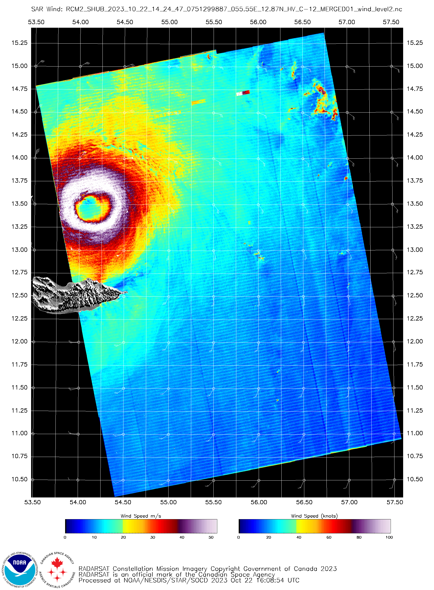
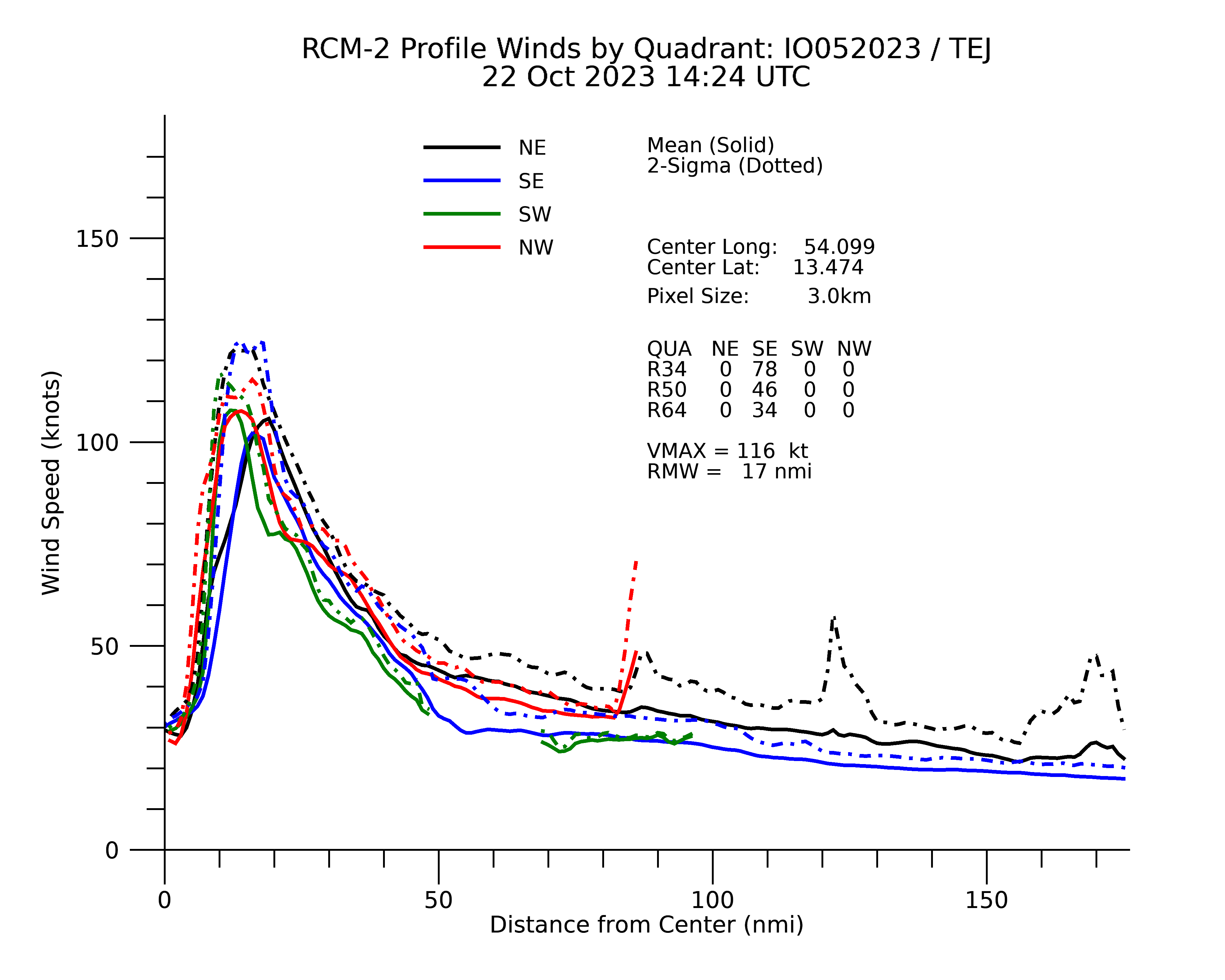
Near-wind analyses from the SAR data are available at this link. The wind plots are shown below. Peak SAR Wind estimates at 0700 UTC exceeded 100 knots from both instruments, wind stronger winds in the SW/SE quadrants of the storm.
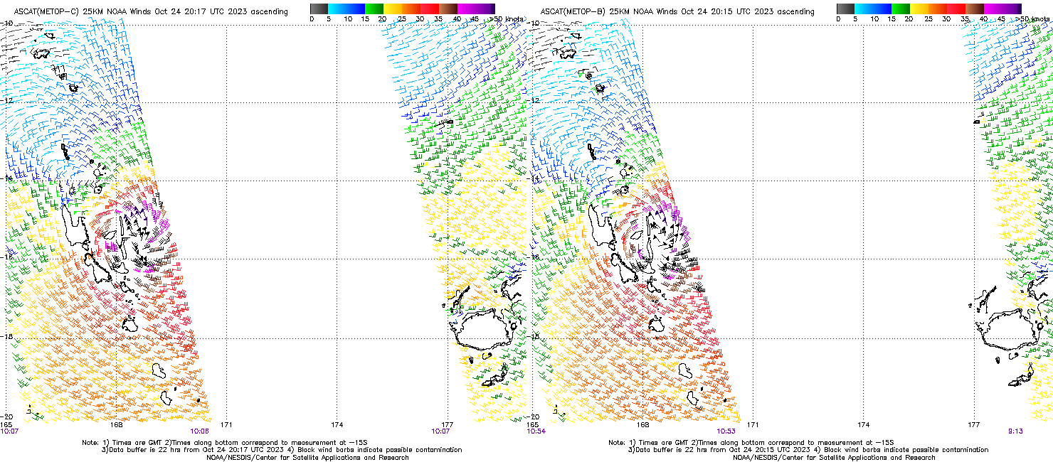
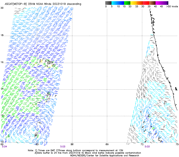
MetopB and MetopC both overflew Lola in between 1000 and 1100 UTC on 24 October. Wind plots from the two overpasses, below, (from this website) show a surface circulation that is much larger over the southern half of the storm.
Lola is forecast to diminish in strength in the next few days. But for more information on Lola, refer to the RSMC in Fiji (link), the CIMSS Tropical Weather Website (link), or the Joint Typhoon Warning Center (link).
View only this post Read Less
