This website works best with a newer web browser such as Chrome, Firefox, Safari or Microsoft Edge. Internet Explorer is not supported by this website.

Fatal tornado outbreak in Florida

GOES-12 10.7µm InfraRed (IR) imagery (above; Java animation) shows the development of multiple lines of convection that produced numerous reports of damaging winds and tornadoes across northern and central Florida during the pre-dawn hours  on Read More

GOES-12 10.7µm IR image
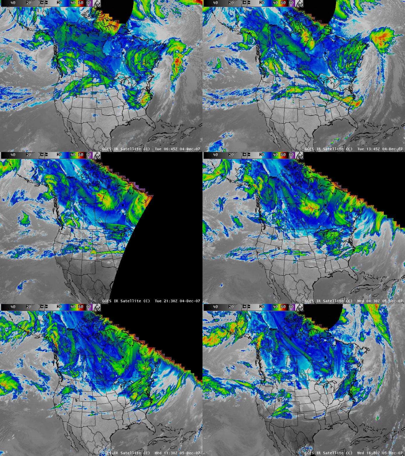
GOES-12 10.7µm InfraRed (IR) imagery (above; Java animation) shows the development of multiple lines of convection that produced numerous reports of damaging winds and tornadoes across northern and central Florida during the pre-dawn hours  on 02 February 2007. The counties where damaging winds and/or tornadoes were reported are highlighted in blue around the times of the SPC storm reports. At least 3 of these tornadoes have been rated as producing EF-3 damage, and 20 deaths have been reported so far as a result of these storms. While fairly cold IR cloud top temperatures were noted at times (-60º to -66º C, red to dark red enhancement), there were no “enhanced-V” or other typical severe storm IR signatures associated with this convection.

.
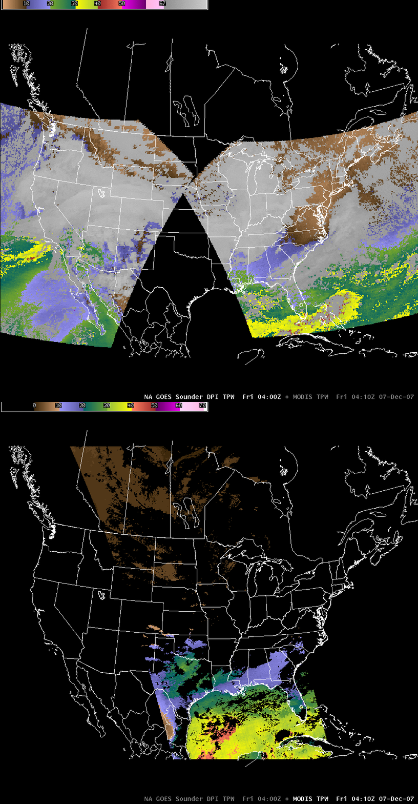
These supercells formed within an environment of high vertical wind shear, which enabled the thunderstorm updrafts to develop strong rotation; in addition, a strong upper tropospheric jet stream was located over the southeastern US, producing high wind speeds aloft and supporting large-scale lift over Florida. The lines of severe convection were forming within a zone of pre-frontal lower-tropospheric convergence; while it was too cloudy to sample the immediate pre-convective environment, GOES-12 sounder derived product imagery (DPI) at 00 UTC and at 12:00 UTC (below) did show that the air mass ahead of the approaching frontal boundary was relatively moist (PW values of 40-50 mm) with modest winter-season instability (LI values of 0º to -6º C, CAPE values of 0 to 1000 J/kg).
AWIPS images of GOES sounder derived products

View only this post Read Less

January 2007: A month of Northern Hemisphere water vapor channel images

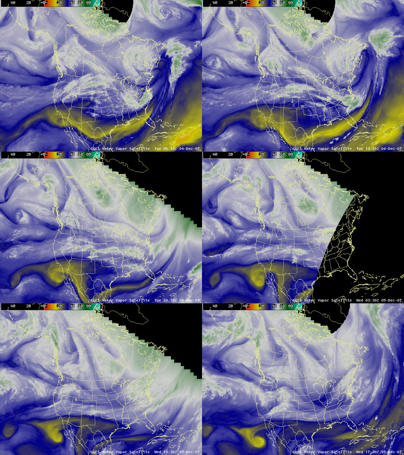
An animation of 3-hourly water vapor channel image composites from AWIPS during the entire month of January 2007 (48 MB QuickTime animation; 1280×1024 screen resolution required) shows the diverse variety of storms that affected the Northern Hemisphere during that particular month.... Read More

AWIPS Northern Hemisphere water vapor channel image

An animation of 3-hourly water vapor channel image composites from AWIPS during the entire month of January 2007 (48 MB QuickTime animation; 1280×1024 screen resolution required) shows the diverse variety of storms that affected the Northern Hemisphere during that particular month. Significant weather events included a tornado outbreak in the Gulf Coast region of the US on 04 January, a winter storm that produced heavy snow and ice accumulations across portions of the central and eastern US during 12-17 January, and a powerful storm that brought strong winds to parts of Europe on 17-18 January.

View only this post Read Less

Mesoscale Convective Eddy Over Lake Michigan

AWIPS images of radar reflectivity and GOES-12 visible and InfraRed (IR) imagery (above) showed a well-defined mesoscale convective eddy that was moving southward across Lake Michigan during the day on 30 January 2007. For a few hours, the core of this mesoscale... Read More

AWIPS radar and satellite imagery

AWIPS images of radar reflectivity and GOES-12 visible and InfraRed (IR) imagery (above) showed a well-defined mesoscale convective eddy that was moving southward across Lake Michigan during the day on 30 January 2007. For a few hours, the core of this mesoscale vortex even exhibited an eye-like structure on the radar (Java animation) and visible channel satellite imagery (Java animation). To the south of this lake vortex, the clouds covering the southern half of Lake Michigan exhibited fairly cold brightness temperatures (-20º to -30º C, cyan to blue enhancement) on the 10.7µm IR imagery (Java animation), yet at the same time appeared significantly warmer (+10º to +20º C, darker gray enhancement) on the 3.9µm IR channel imagery (Java animation). This suggests that much of the cloud cover over southern Lake Michigan was composed of supercooled water droplets, rather than ice crystals (water droplets are efficient reflectors of solar radiation, making water-based clouds appear “warmer” than ice-based clouds on the shortwave IR imagery, due to that channel’s sensitivity to solar reflectance). The MODIS Cloud Phase product (below, upper left panel) supported this idea, indicating predominantly “water phase” cloud (blue enhancement) across much of the southern half of Lake Mighigan. It is interesting to note that the precipitation type at Muskegon, Michigan (station identifier KMKG) fluctuated between “snow” and “snow with freezing fog” as the clouds over southern Lake Mighigan were moving inland (there was some hint of “Mixed” or “Uncertain” cloud phase features moving over that station, which could have seeded the supercooled cloud deck below with enough ice to produce mostly snow at times) — however, the changing precipitation types could be due more to inherent ASOS uncertainties. As this lake eddy moved inland across southwestern lower Michigan later in the day, up to 15 inches of snow was reported at Allegan.
AWIPS MODIS imagery

On a side note, during the morning hours over Madison, Wisconsin (station identifier KMSN) it appeared to be snowing very lightly, even though the skies overhead were practically cloud-free — actually, there were ice crystals growing within the boundary layer, rather than snowflakes falling from a cloud. The BUFKIT model sounding analysis (below) indicated a fairly moist “snow growth region” (yellow line) within the lowest 1.5 km of the atmosphere, along with some negative omega in that layer indicating upward vertical motions.
BUFKIT sounding analysis

View only this post Read Less

Aircraft “distrails” over the southcentral US

GOES-12 visible channel images (above) revealed numerous aircraft dissipation trails — otherwise known as “distrails” or “hole punch clouds” — during the day over eastern Texas, northern Louisiana, southern Arkansas, and Mississippi on 29 January 2007. Corresponding GOES-12 10.7... Read More

GOES-12 Visible (0.65 µm) images

GOES-12 Visible (0.65 µm) images

GOES-12 visible channel images (above) revealed numerous aircraft dissipation trails — otherwise known as “distrails” or “hole punch clouds” — during the day over eastern Texas, northern Louisiana, southern Arkansas, and Mississippi on 29 January 2007. Corresponding GOES-12 10.7 µm InfraRed (IR) imagery showed that cloud-top infrared brightness temperatures over that region were generally between -20º and -35º C; as aircraft (likely air traffic to/from Dallas-Fort Worth airport KDFW) penetrated that cloud layer, they caused the supercooled cloud droplets to glaciate and begin to fall out of the cloud (causing the “holes” and “streaks” that were evident on the visible imagery).

Higher-resolution views of these cloud features were available from Terra MODIS (sourced from the NASA Rapidfire site) and Aqua MODIS True Color Red-Green-Blue (RGB) images (below).

Aqua MODIS True Color RGB image [click to enlarge]

Aqua MODIS True Color RGB image [click to enlarge]

12 UTC rawinsonde data from Fort Worth, Texas (below) indicated that the likely elevation of the supercooled cloud deck was around 25,000 feet.

Fort Worth TX rawinsonde report

Plot of 12 UTC Fort Worth TX rawinsonde data

View only this post Read Less