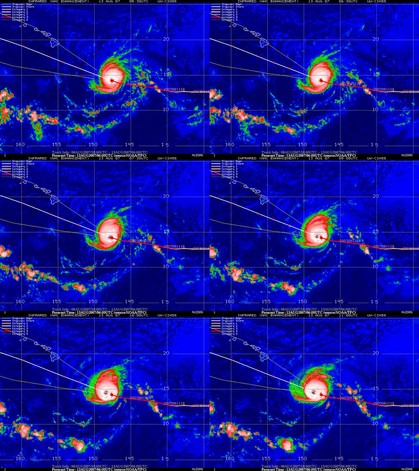
Hurricane Flossie
GOES-11 IR imagery from the CIMSS Tropical Cyclones site (above) depicted a nice symmetric eye structure exhibited by Hurricane Flossie as it maintained Category 4 intensity in the central Pacific Ocean on 13 August 2007. Judging from the IR imagery, Flossie appeared to be an annular hurricane — annular hurricanes tend to weaken more slowly than non-annular storms of similar intensity, which may help to explain why Flossie maintained Category 4 intensity even as it began to encounter slightly cooler sea surface temperatures and increasing environmental shear. While Hurricane Flossie was forecast to weaken somewhat as it passed just to the south of the Hawaiian Islands (below), some adverse impacts (increasing winds, high surf, heavy rainfall) were still expected as the storm approached.


