Large smoke plumes in the western US
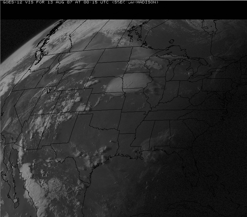
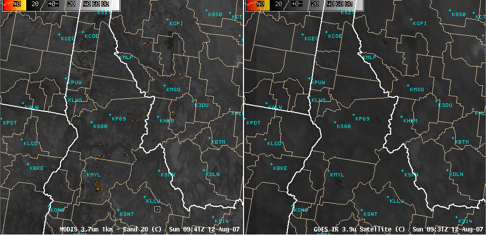
Ongoing fire activity in parts on Idaho, Montana, and Wyoming (NOAA HMS product) was producing very large smoke plumes late in the day on 12 August 2007. A QuickTime animation of GOES-12 visible imagery (above; 3.9 MB file; 1280 x 1024 screen resolution required) shows several large and dense smoke plumes that grew quickly in size and moved rapidly northeastward during the afternoon hours. During the previous night-time hours, 1-km resolution MODIS 3.7µm IR imagery (below, left) was able to detect many more fire “hot spots” (yellow to red enhancement) than the corresponding 4-km resolution GOES-12 3.9µm IR imagery (below, right).
—————————————————————————————————–
Early afternoon MODIS true color imagery showed a closer view of the smoke plumes in the northwestern US (above), while another fairly large smoke plume was also evident from a fire that was burning to the northwest of Los Angeles, California (below). Thick smoke from northwestern US fire activity a day earlier had been transported as far eastward as Montana and North Dakota.


