This website works best with a newer web browser such as Chrome, Firefox, Safari or Microsoft Edge. Internet Explorer is not supported by this website.

Archive: Jun 2024

Record 1-hour rainfall accumulation at Sarasota, Florida
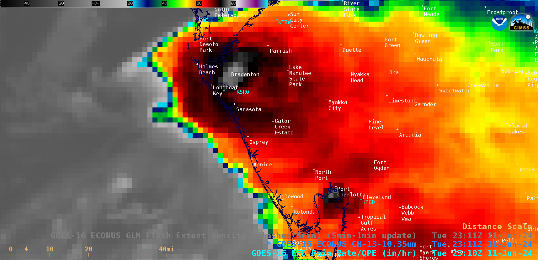
5-minute CONUS Sector GOES-16 (GOES-East) “Clean” Infrared Window (10.3 µm) images (above) displayed areas of convection that moved inland along the west coast of Florida on 11 June 2024. Sarasota/Bradenton International Airport received very heavy rainfall (3.93 inches) during the 1-hour period ending at 2353 UTC or 7:53 PM local time (METARs | decoded surface reports | plot of surface report data) —... Read More

Using LightningCast Probabilities as an aviation tool

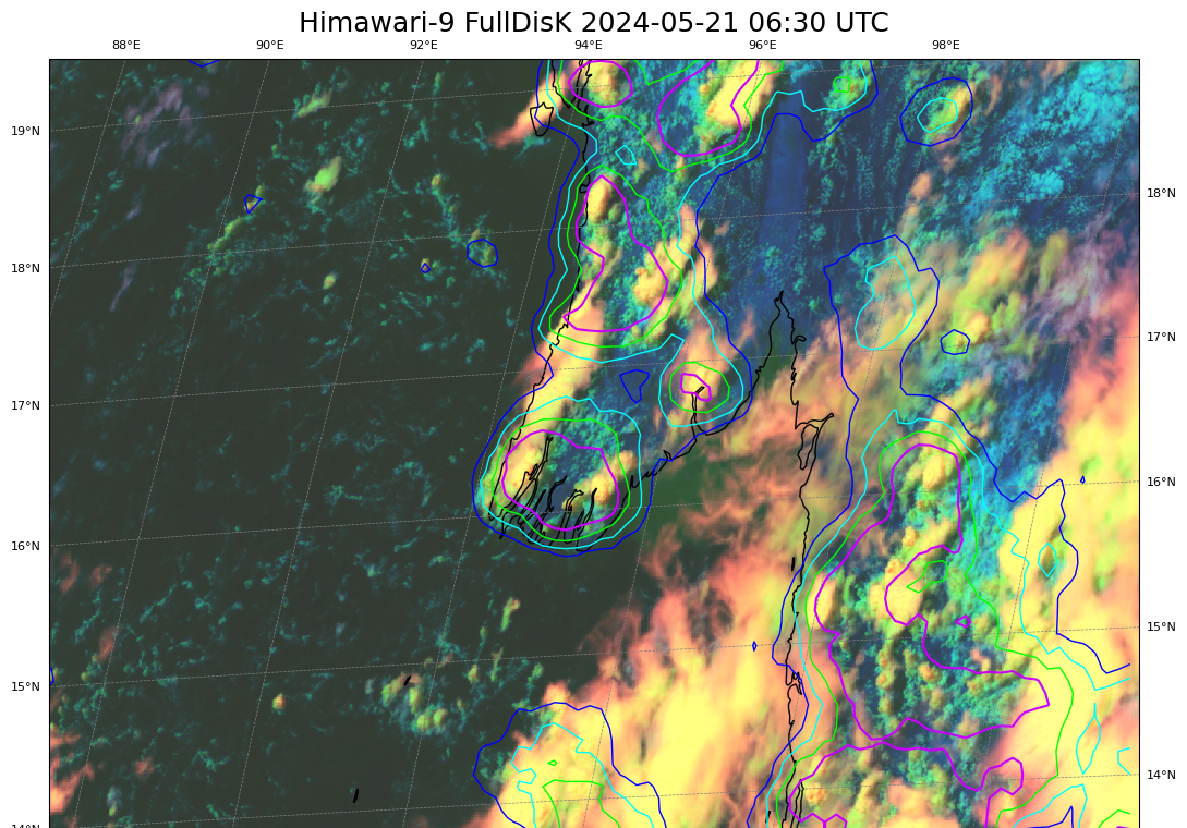
This blog post shows satellite imagery with a Singapore Airlines Boeing 777-300ER that encountered severe turbulence while flying over southern Myanmar (information from flightradar) at 0749 UTC on 21 May 2024. This graphic from Sarah Griffin, CIMSS, shows the turbulence location/time; other graphics/animations from this event are in this directory that Sarah Griffin created.LightningCast probabilities... Read More