Sun glint off open water near the coast of Alaska
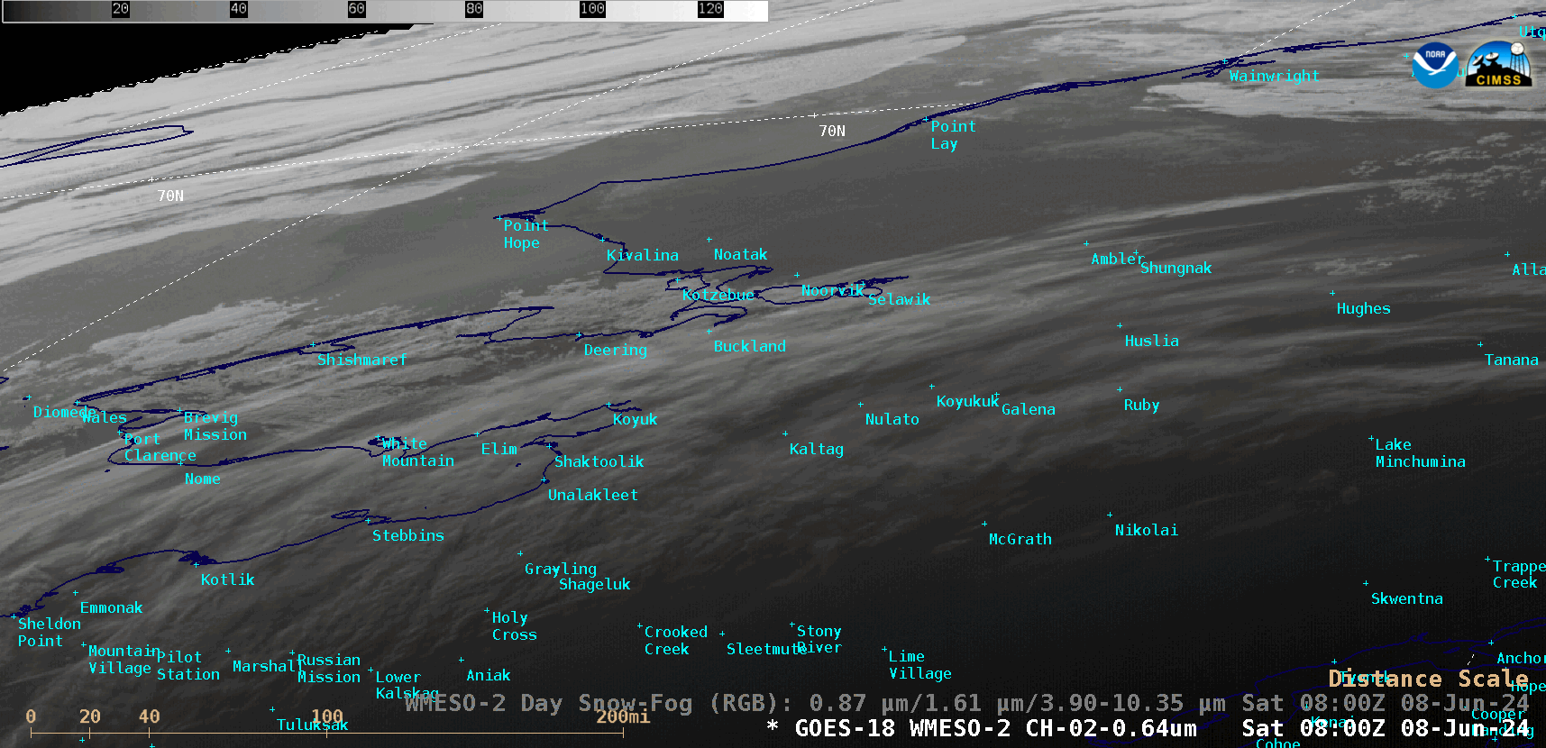
1-minute GOES-18 “Red” Visible (0.64 µm) images, from 0800-0930 UTC on 08 June [click to play animated GIF | MP4]
Synthetic Aperture Radar (SAR) wind speed (source) derived from an overpass of RADARSAT-2 at 0349 UTC on 08 June (below) showed that winds were generally light (or even calm) across the nearshore waters off the northwest coast of Alaska — which would be conducive to a sea surface with minimal wave height (that would more easily reflect incoming late-day sunlight arriving at a very oblique angle, enhancing sun glint).
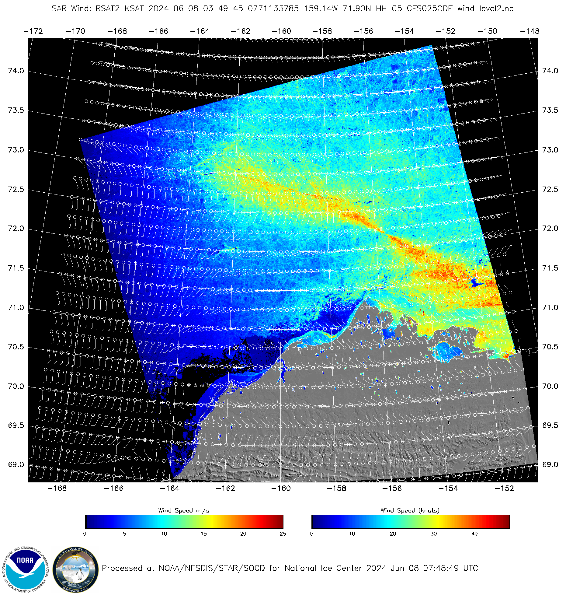
Synthetic Aperture Radar (SAR) wind speed derived from an overpass of RADARSAT-2 at 0349 UTC on 08 June [click to enlarge]
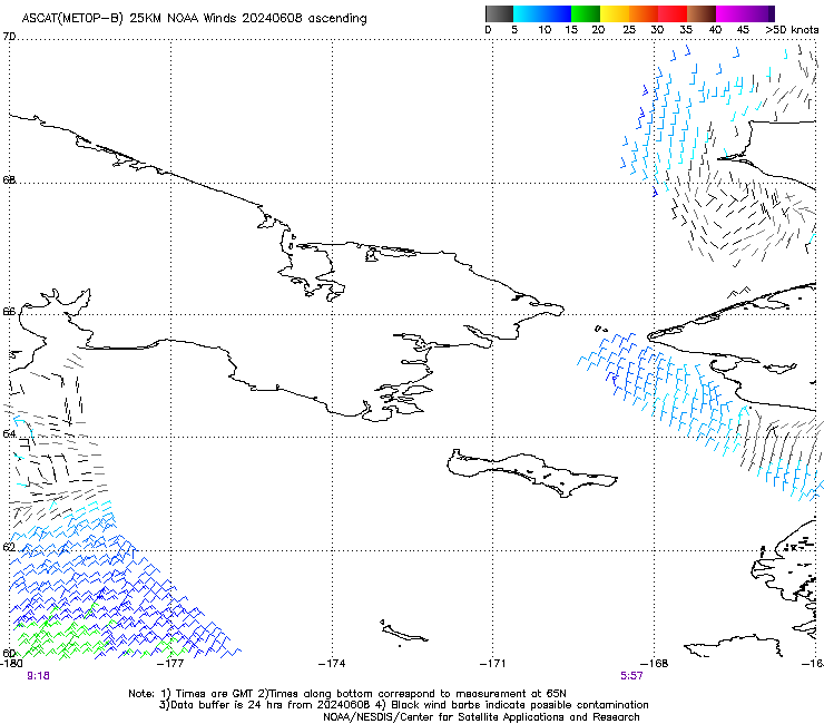
ASCAT and OSCAT surface scatterometer winds, from 0557-0917 UTC on 08 June
During the subsequent daytime hours, a sequence of VIIRS Snowmelt RGB images sourced from GINA and displayed using RealEarth (below) provided a more detailed view of the sea ice and the areas of inland snow cover (shades of cyan to light blue), in contrast to the areas of open water (dark blue) near the Alaskan coast.
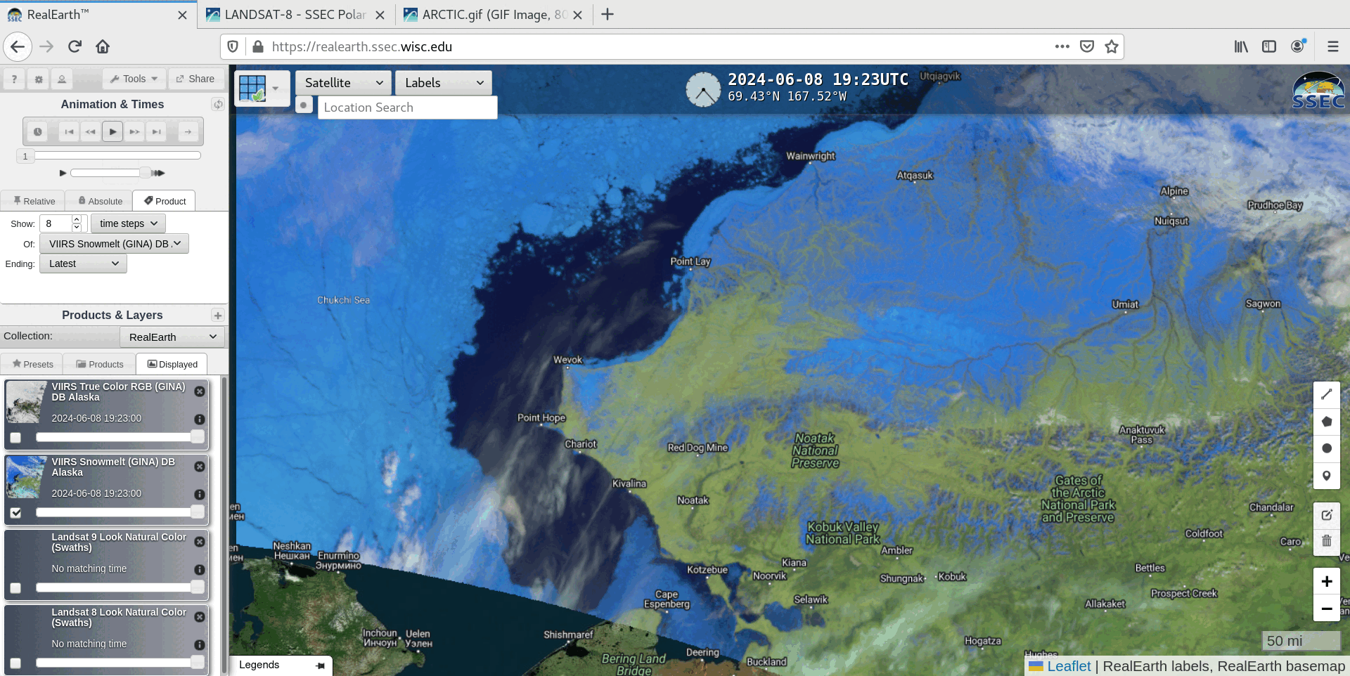
VIIRS Snowmelt RGB images, from 1923 UTC on 08 June to 0049 UTC on 09 June [click to play animated GIF | MP4]