This website works best with a newer web browser such as Chrome, Firefox, Safari or Microsoft Edge. Internet Explorer is not supported by this website.

Archive: May 2023

Large hail and heavy rainfall in the St. Louis area
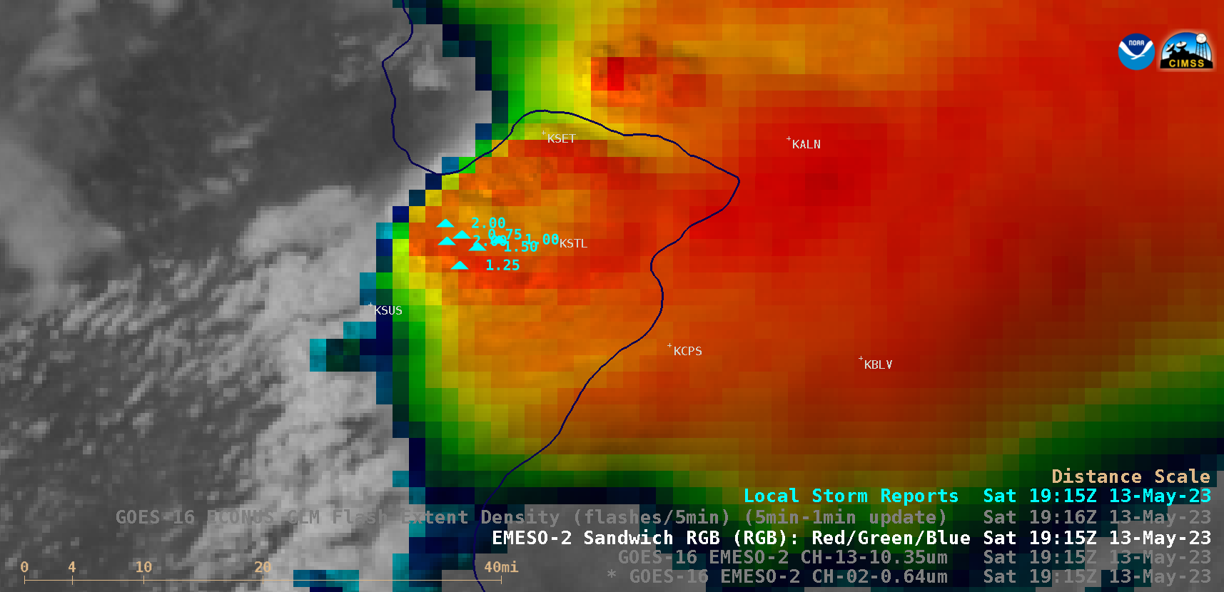
1-minute Mesoscale Domain Sector GOES-16 (GOES-East) Visible/Infrared Sandwich RGB images (above) showed thunderstorms that produced a few clusters of large hail (up to 3.00 inches in diameter: SPC Storm Reports) in the St. Louis, Missouri area on 13 May 2023.There were also several reports of heavy rainfall — GOES-16 Visible/Infrared Sandwich RGB images at 1956 UTC UTC, 2100 UTC and 2124 UTC... Read More

Tornadic thunderstorms in Nebraska

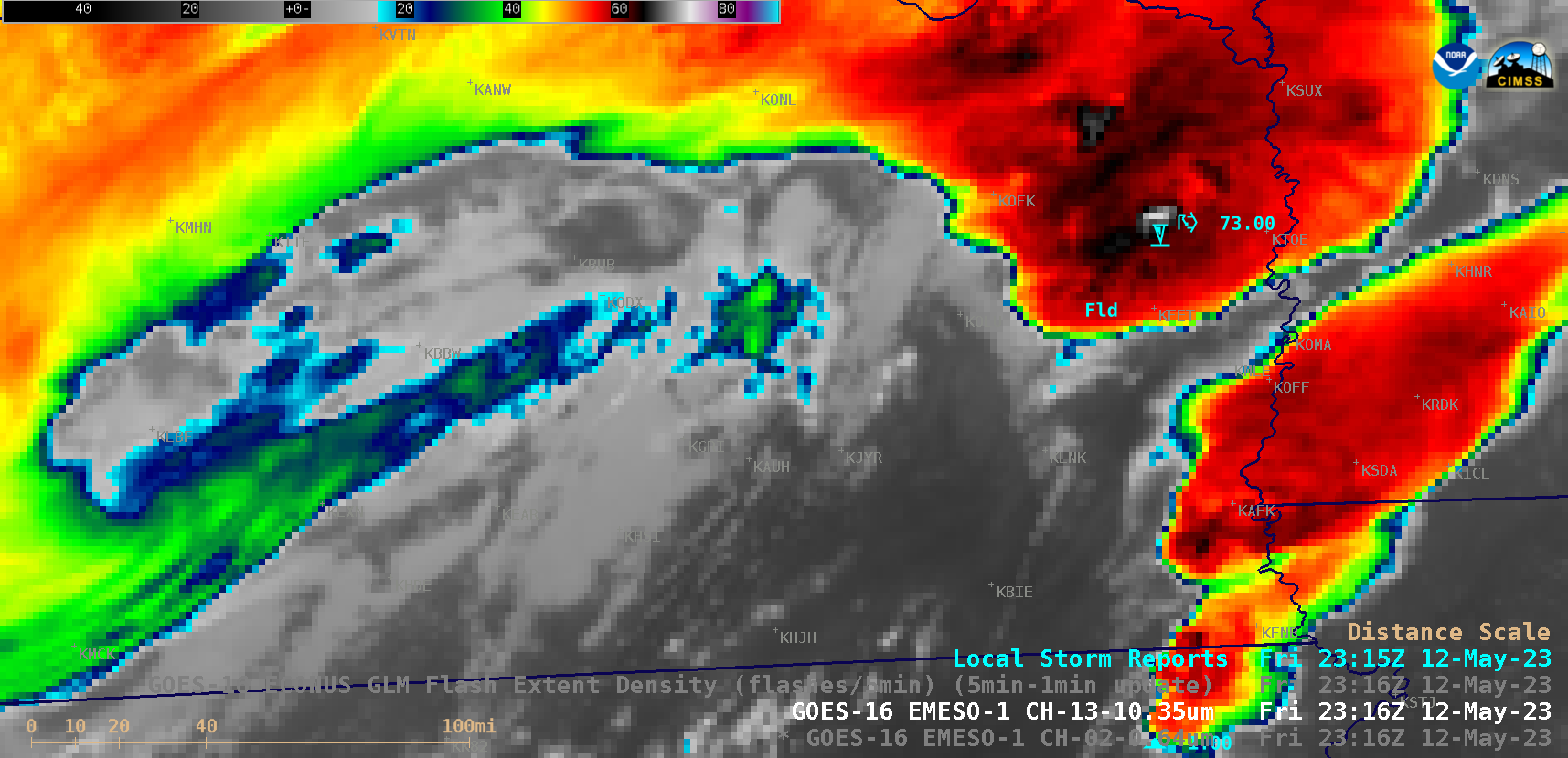
1-minute Mesoscale Domain Sector GOES-16 (GOES-East) “Red” Visible (0.64 µm) and “Clean” Infrared Window (10.3 µm) images (above) showed thunderstorms that produced several tornadoes, hail up to 4.50 inches in diameter and wind gusts to 73 mph (SPC Storm Reports) in addition to heavy rainfall across parts of central and eastern Nebraska (NWS Omaha summary) on 12 May 2023.Pulsing thunderstorm overshooting tops exhibited infrared brightness... Read More

Tropical Storm Mocha in the Bay of Bengal

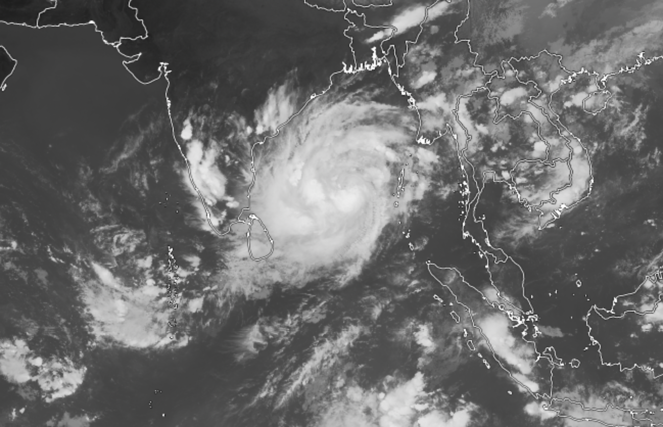
The storm system named ‘Mocha’ is brewing in the Bay of Bengal and was upgraded to tropical storm status earlier today. Mocha began as a deep depression in in the southeast Bay of Bengal. It is forecasted to continue moving north and gain strength, predicted to become a typhoon within... Read More

Severe thunderstorms across Colorado, Kansas and Nebraska

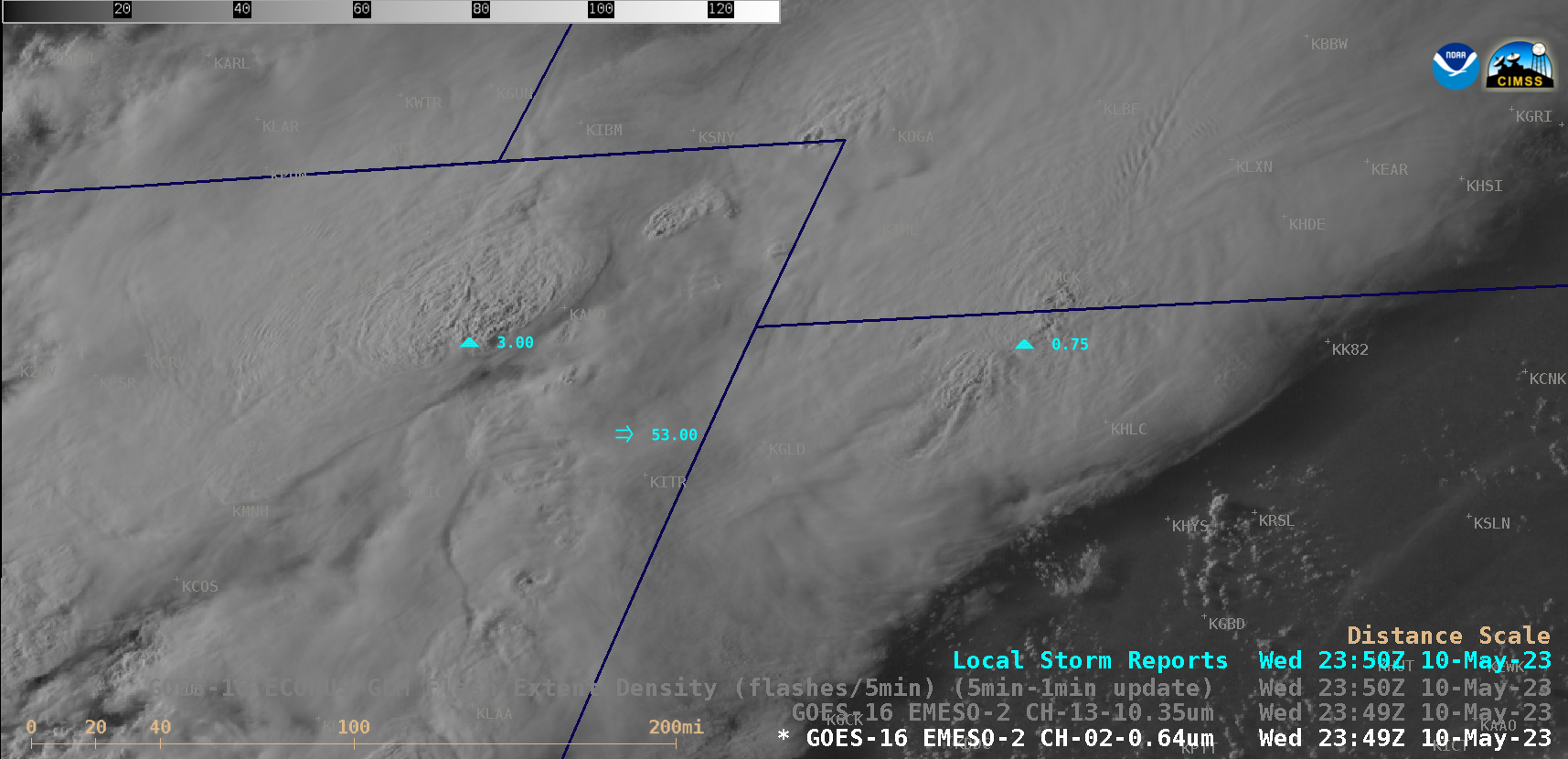
1-minute Mesoscale Domain Sector GOES-16 (GOES-East) “Red” Visible (0.64 µm) and “Clean” Infrared Window (10.3 µm) images (above) showed thunderstorms that produced several tornadoes, hail up to 4.00 inches in diameter, wind gusts to 81 mph and heavy rainfall (SPC Storm Reports) across northeast Colorado, northwest Kansas and southwest Nebraska on 10 May 2023.1-minute GOES-16 Infrared images (below) include an overlay of GLM Flash Extent Density — most of... Read More