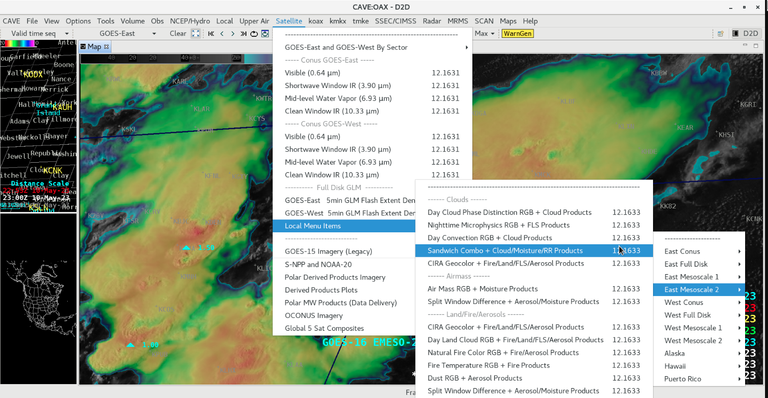
Severe thunderstorms across Colorado, Kansas and Nebraska

GOES-16 “Red” Visible (0.64 µm) and “Clean” Infrared Window (10.3 µm) images, with Local Storm Reports plotted in cyan [click to play animated GIF | MP4]
1-minute GOES-16 Infrared images (below) include an overlay of GLM Flash Extent Density — most of the storms exhibited only modest lightning activity, although a few brief lightning jumps were evident.

GOES-16 “Clean” Infrared Window (10.3 µm) images, with an overlay of GLM Flash Extent Density [click to play animated GIF | MP4]
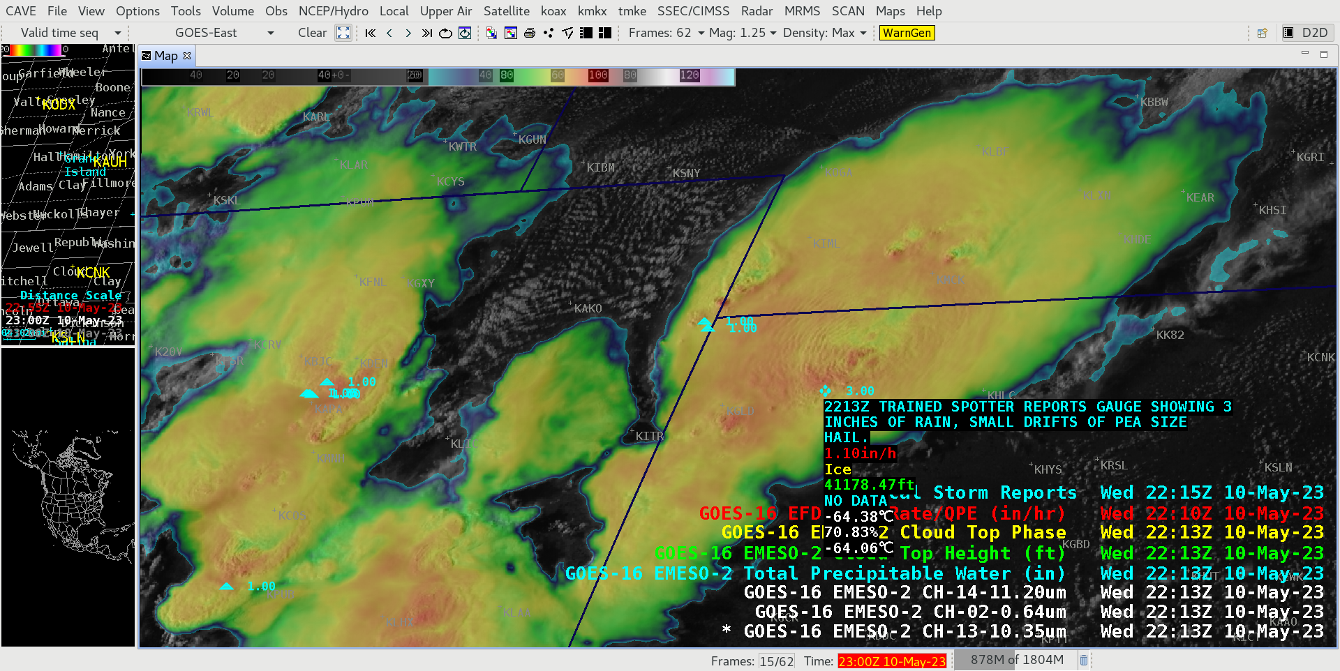
GOES-16 Visible/Infrared Sandwich RGB image at 2213 UTC, with cursor sampling of the associated Rainfall Rate (red), Cloud Top Phase (yellow) and Cloud Top Height (green) Level 2 Derived Products [click to enlarge]
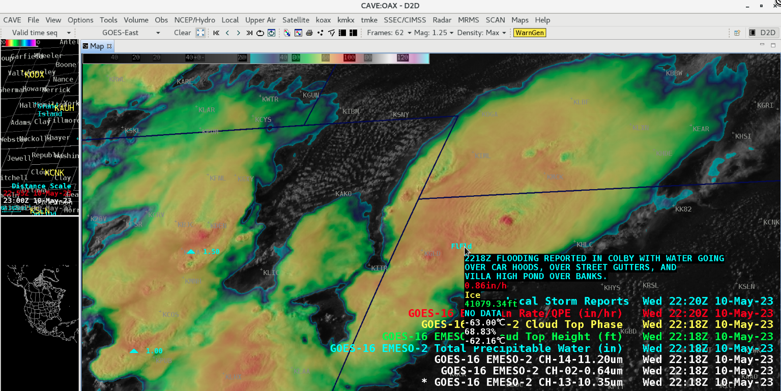
GOES-16 Visible/Infrared Sandwich RGB image at 2218 UTC, with cursor sampling of the associated Rainfall Rate (red), Cloud Top Phase (yellow) and Cloud Top Height (green) Level 2 Derived Products [click to enlarge]