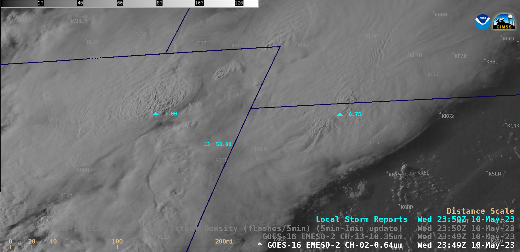
Severe thunderstorms across Colorado, Kansas and Nebraska

1-minute Mesoscale Domain Sector GOES-16 (GOES-East) “Red” Visible (0.64 µm) and “Clean” Infrared Window (10.3 µm) images (above) showed thunderstorms that produced several tornadoes, hail up to 4.00 inches in diameter, wind gusts to 81 mph and heavy rainfall (SPC Storm Reports) across northeast Colorado, northwest Kansas and southwest Nebraska on 10 May 2023.1-minute GOES-16 Infrared images (below) include an overlay of GLM Flash Extent Density — most of... Read More


