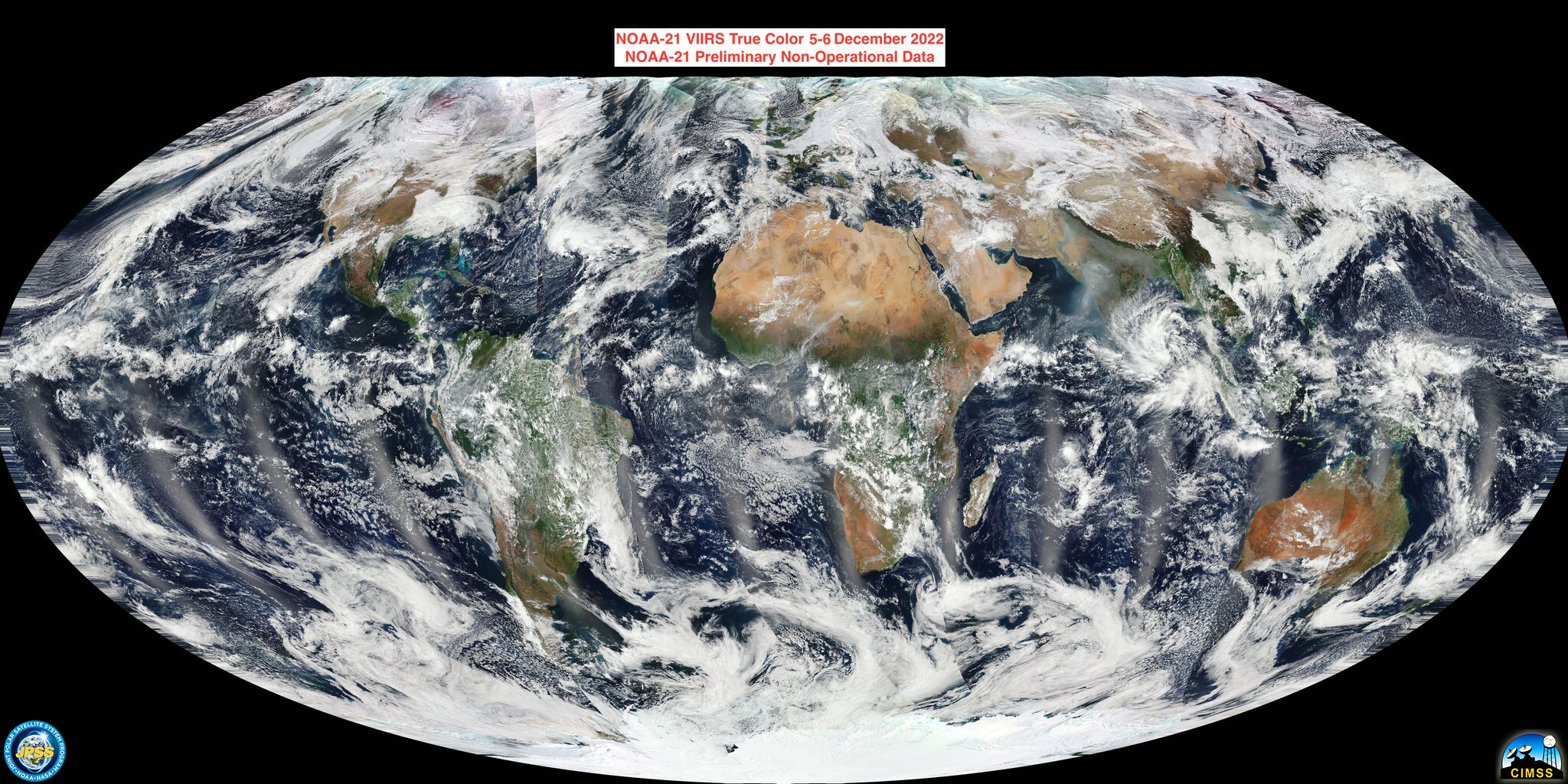
This website works best with a newer web browser such as Chrome, Firefox, Safari or Microsoft Edge. Internet Explorer is not supported by this website.

Archive: Dec 2022

There GOES 2022

Daily Full Disk imageryBy animating daily NOAA GOES-16 ABI Full Disk composite imagery, the year 2022 can be shown quickly. The GOES-16 loop below displays a 17 UTC image from each day of 2022 (the images are Rayleigh-corrected True Color RGB composites). This GOES-16 loop is similar to a loop... Read More

2022 Satellite Highlights via Polar-Orbiting Imagery

This post features 2022 highlights from a polar-orbiting perspective, with a focus on U.S. scenes, most acquired by the Visible Infrared Imaging Radiometer Suite (VIIRS) flying on the Suomi-NPP and NOAA-20 satellites. Also in 2022: NOAA’s Joint Polar Satellite System (JPSS) launched the JPSS-2 satellite, renamed NOAA-21. First light imagery... Read More

Trans-Pacific Atmospheric River

A classic winter weather pattern developed over the Pacific Ocean this week setting the stage for significant drought relief for the western U.S., along with heavy to excessive coastal rains and mountain snow measured in feet for the Sierras and Rockies. Even though this is a “classic” winter pattern, it... Read More