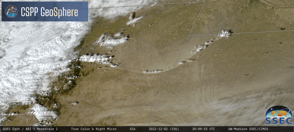
Landsat and GOES signatures of the Mauna Loa eruption
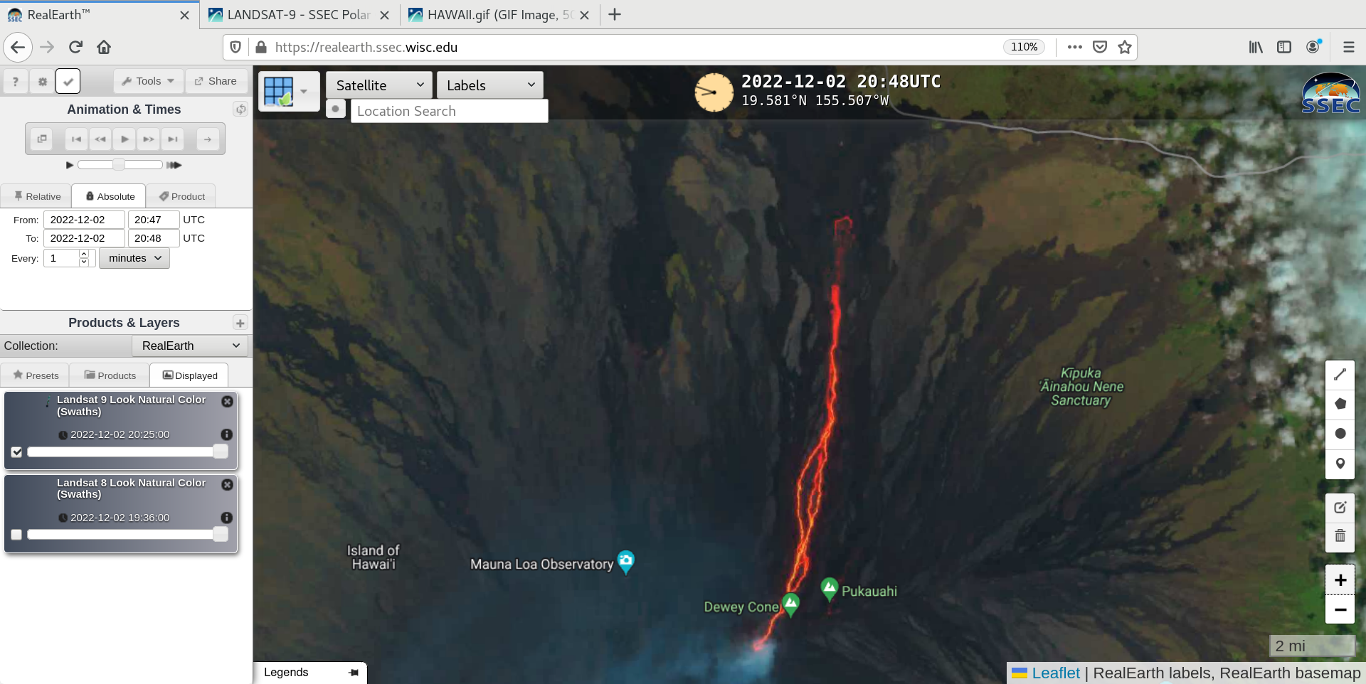
A timely overpass of Landsat-9 provided a 30-meter resolution “Natural Color” RGB image of the Mauna Loa eruption site at 2048 UTC on 02 December 2022 — as viewed using RealEarth (above). The signature of hot lava (varying shades of red to yellow) flowing from the volcano’s Northeast Rift Zone... Read More