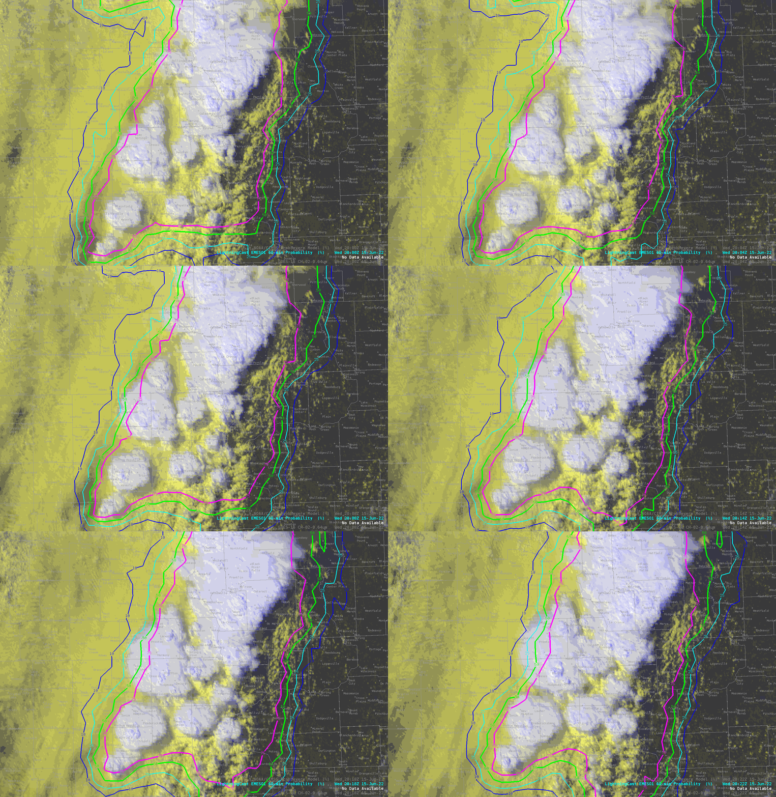
GOES-16 “Red” Visible (0.64 µm) images, with time-matched SPC Storm Reports plotted in red [click to play animated GIF | MP4]
1-minute Mesoscale Domain Sector GOES-16
(GOES-East) “Red” Visible (
0.64 µm) images
(above) include time-matched
SPC Storm Reports — and showed the development severe thunderstorms across parts of Iowa, Wisconsin and Upper Michigan during the afternoon and early evening hours on
15 June 2022. Boundary layer feeder band clouds could be seen flowing north-northeastward into some of the growing thunderstorms — which produced a few tornadoes and damaging straight-line winds as strong as
80 mph in Wisconsin, and hail as large as
2.75 inches in diameter in Iowa. This convection developed along and ahead of an eastward-moving cold front (
surface analyses).
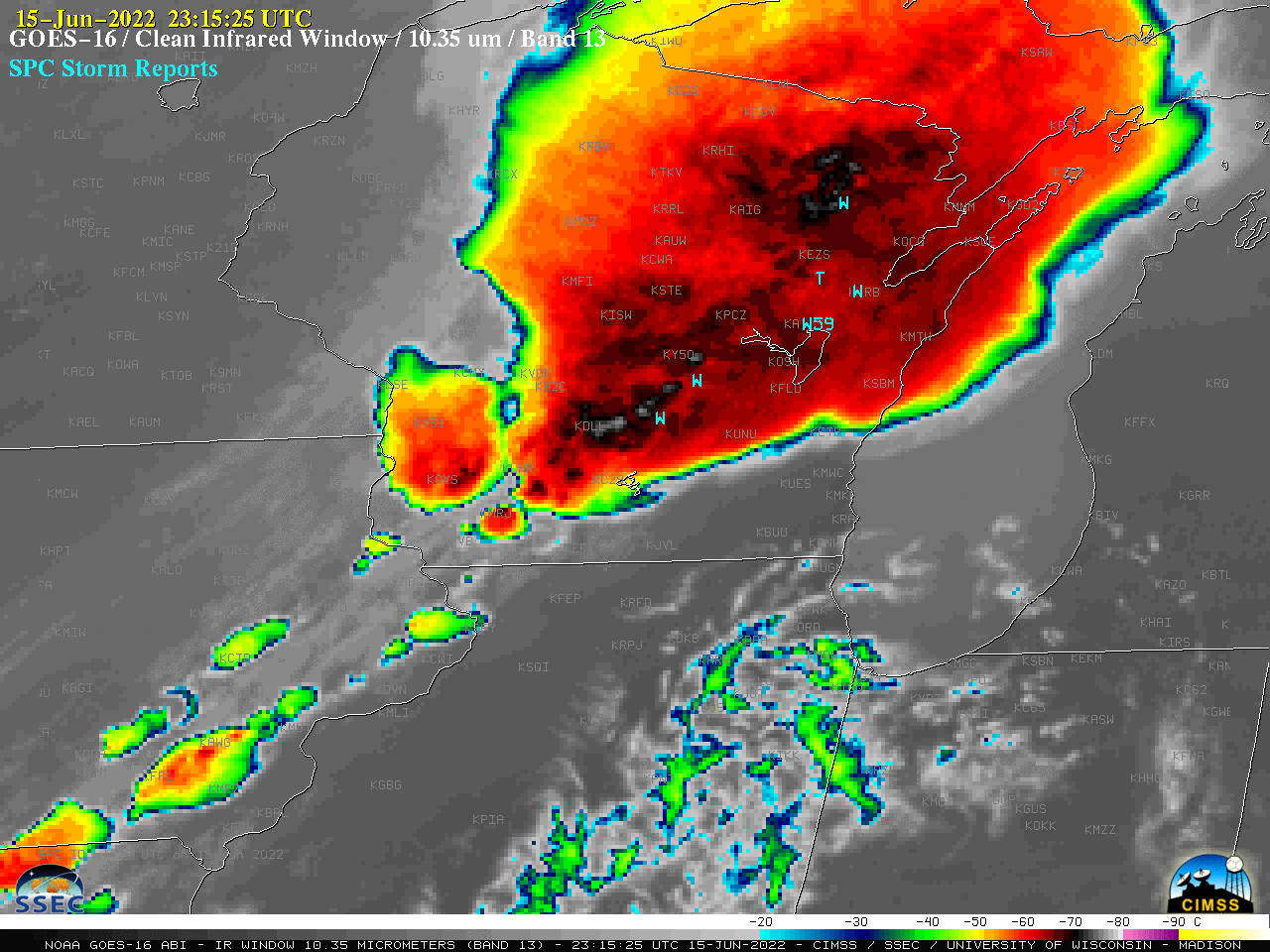
In the corresponding 1-minute GOES-16 “Clean” Infrared Window (10.35 µm) images (below), pulsing overshooting tops exhibited cold infrared brightness temperatures in the -75 to -79ºC range (brighter white pixels embedded within areas of black).

GOES-16 “Clean” Infrared Window (10.35 µm) images, with time-matched SPC Storm Reports plotted in cyan [click to play animated GIF | MP4]