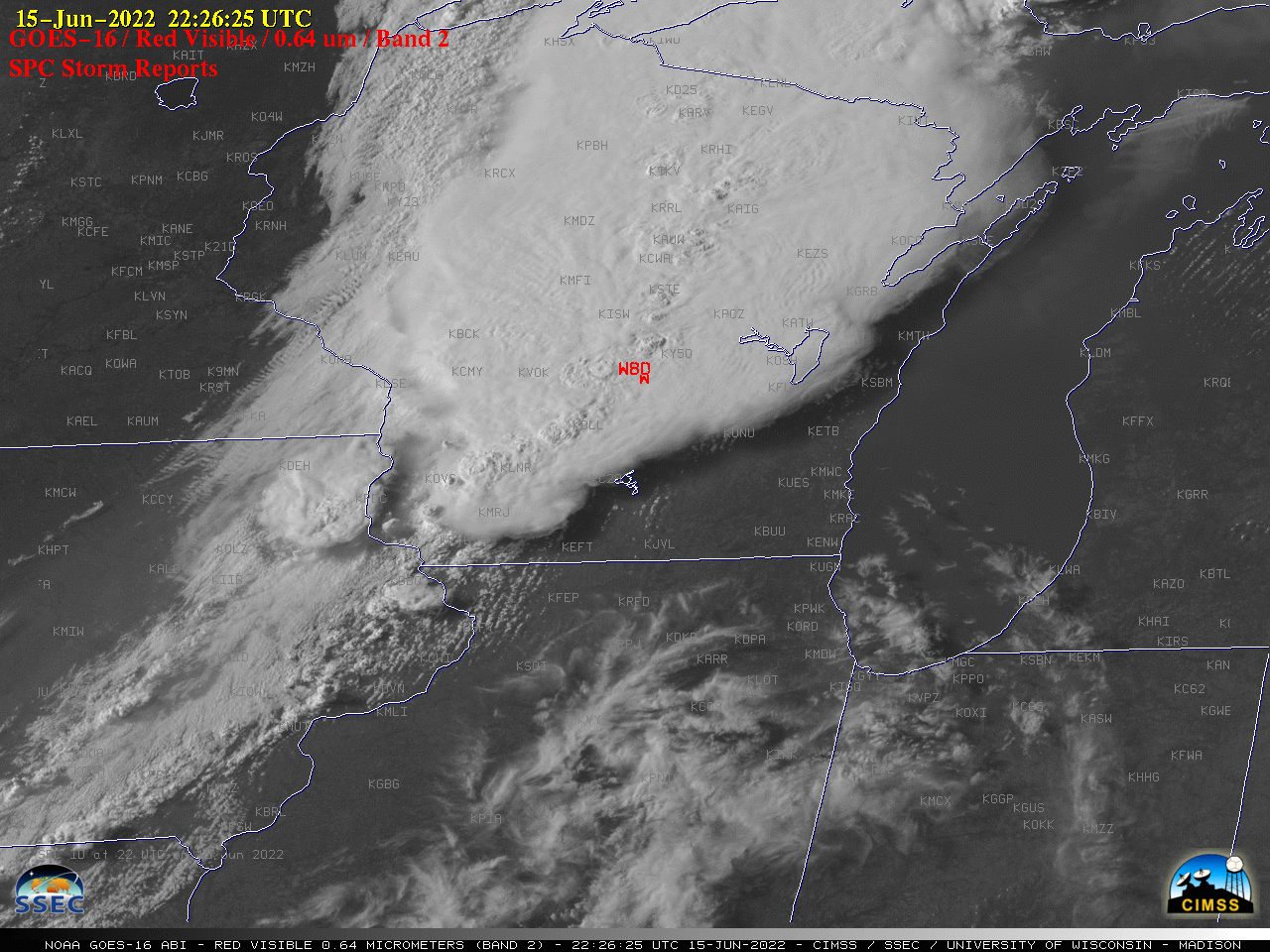
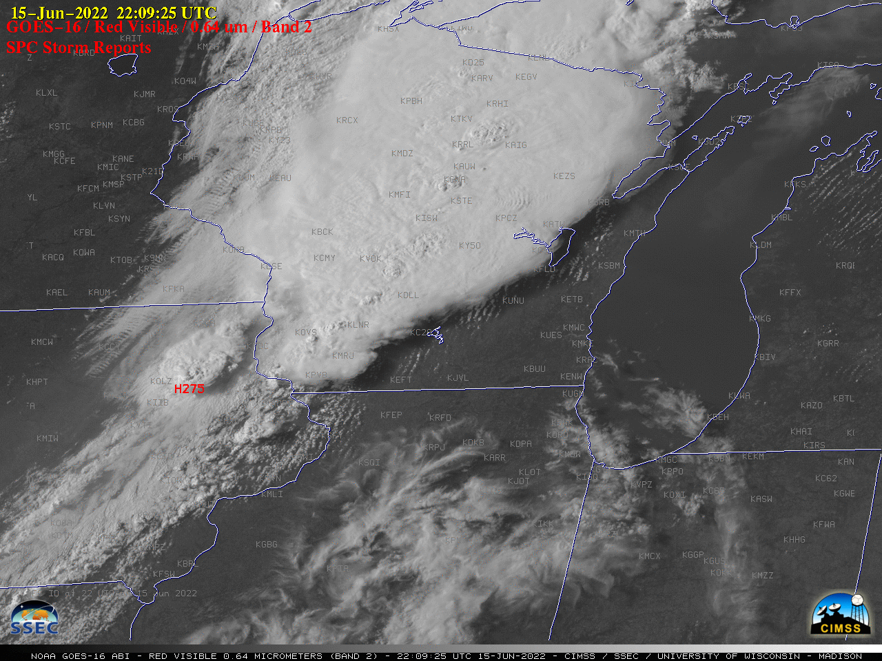
Severe thunderstorms across Iowa, Wisconsin and Michigan

GOES-16 “Red” Visible (0.64 µm) images, with time-matched SPC Storm Reports plotted in red [click to play animated GIF | MP4]
In the corresponding 1-minute GOES-16 “Clean” Infrared Window (10.35 µm) images (below), pulsing overshooting tops exhibited cold infrared brightness temperatures in the -75 to -79ºC range (brighter white pixels embedded within areas of black).
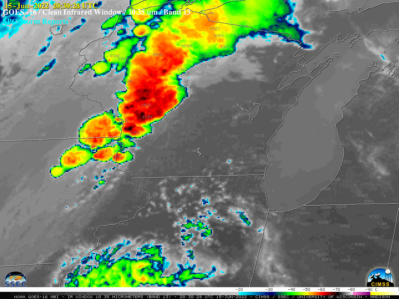
GOES-16 “Clean” Infrared Window (10.35 µm) images, with time-matched SPC Storm Reports plotted in cyan [click to play animated GIF | MP4]