Grassland fire in the Oklahoma Panhandle
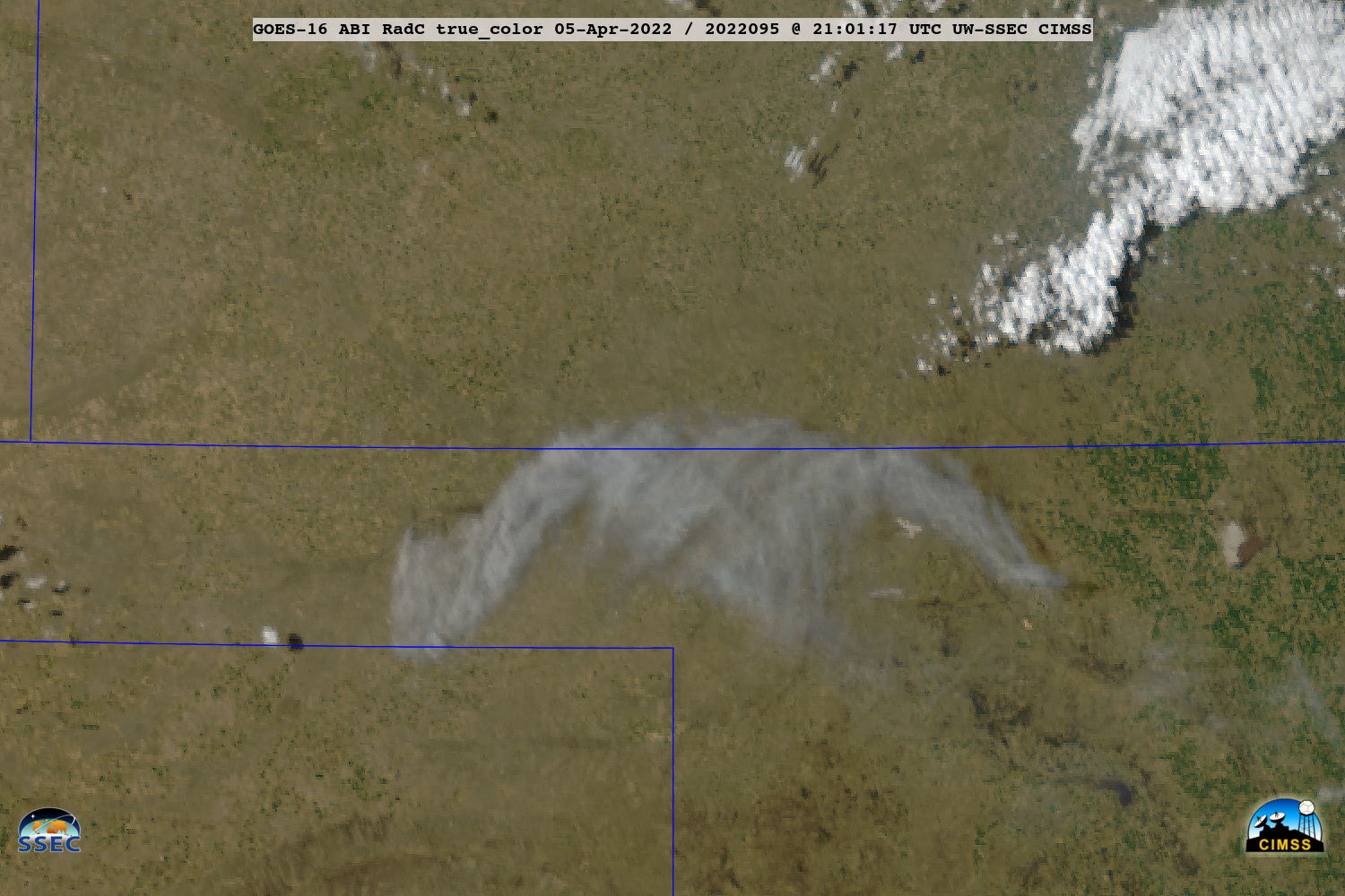
1-minute Mesoscale Domain Sector GOES-16 (GOES-East) “Red” Visible (0.64 µm) and Shortwave Infrared (3.9 µm) images along with 5-minute Fire Power and Fire Temperature products (above) displayed the smoke plume and thermal signature of a grassland fire that rapidly intensified and spread across parts of western Beaver County (located in the Oklahoma Panhandle) on... Read More