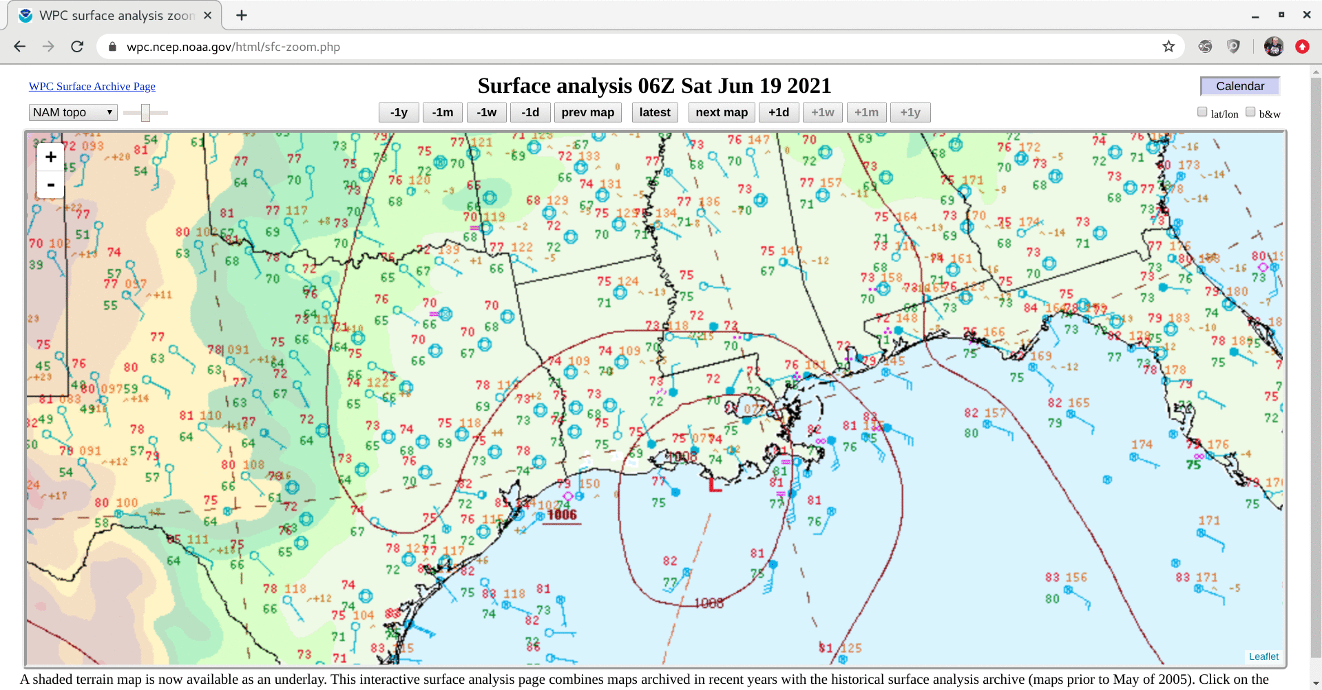
Tropical Storm Claudette makes landfall along the central Gulf Coast
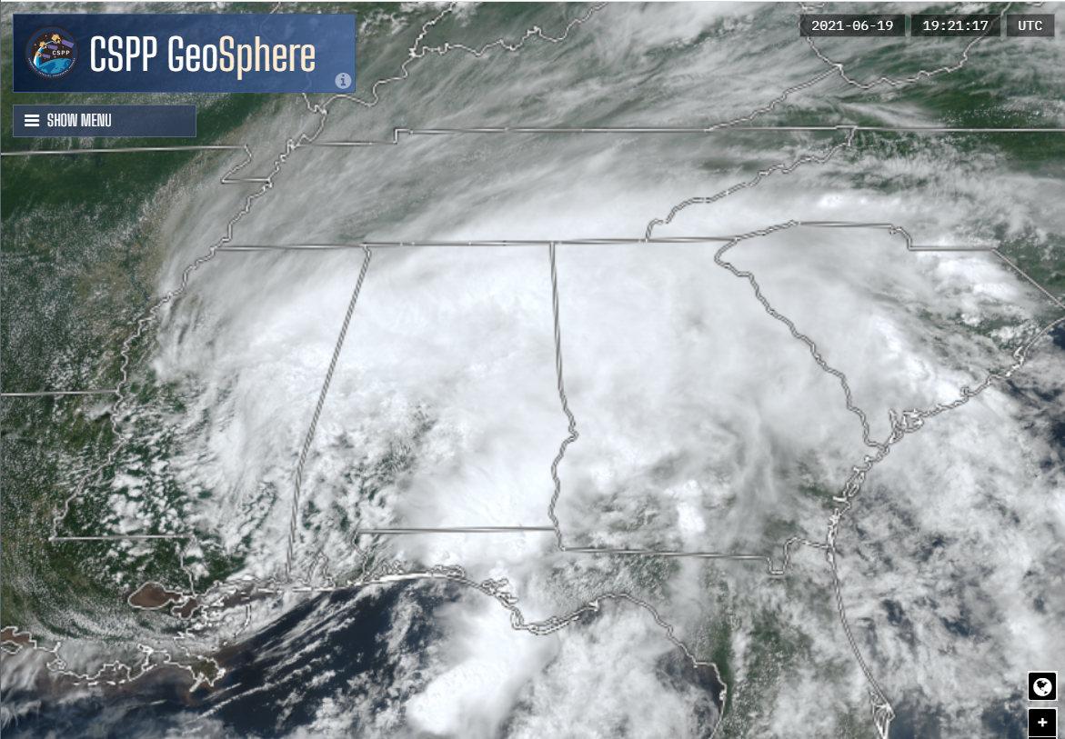
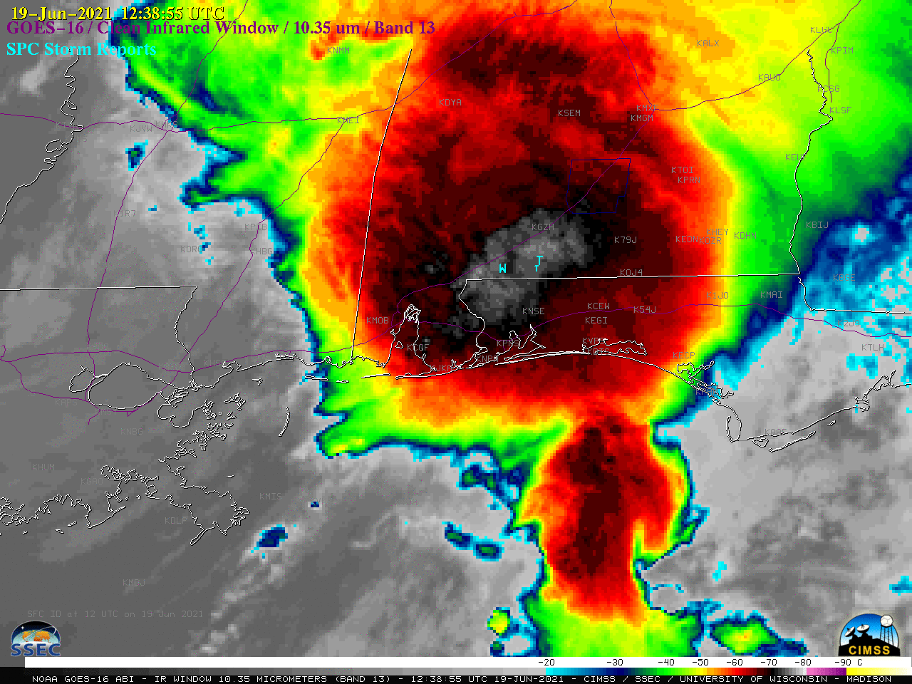
The Potential Tropical Cyclone that has been moving northward through the Gulf of Mexico made landfall southwest of New Orleans, LA on Saturday 19 June as a minimal Tropical Cyclone. The animation of total precipitable water, above, from the MIMIC TPW website, shows that most of the storm’s moisture is east of... Read More
