Potential Tropical Cyclone 3 develops in the Gulf of Mexico

GOES-16 “Red” Visible (0.64 µm) and “Clean” Infrared Window (10.35 µm) images [click to play animation | MP4]
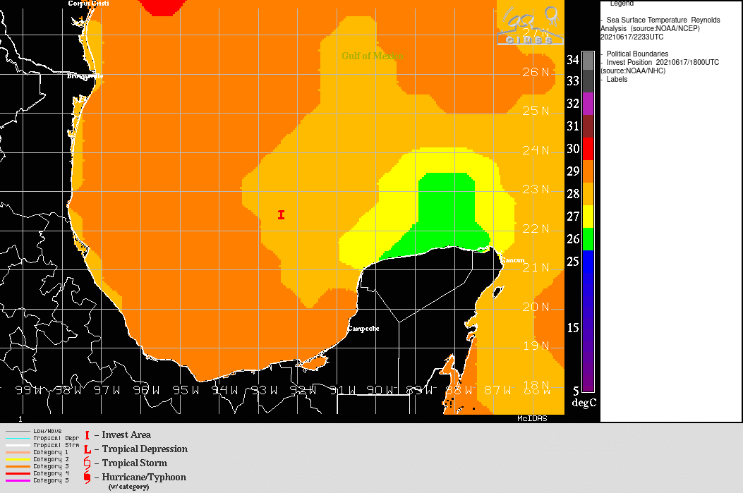
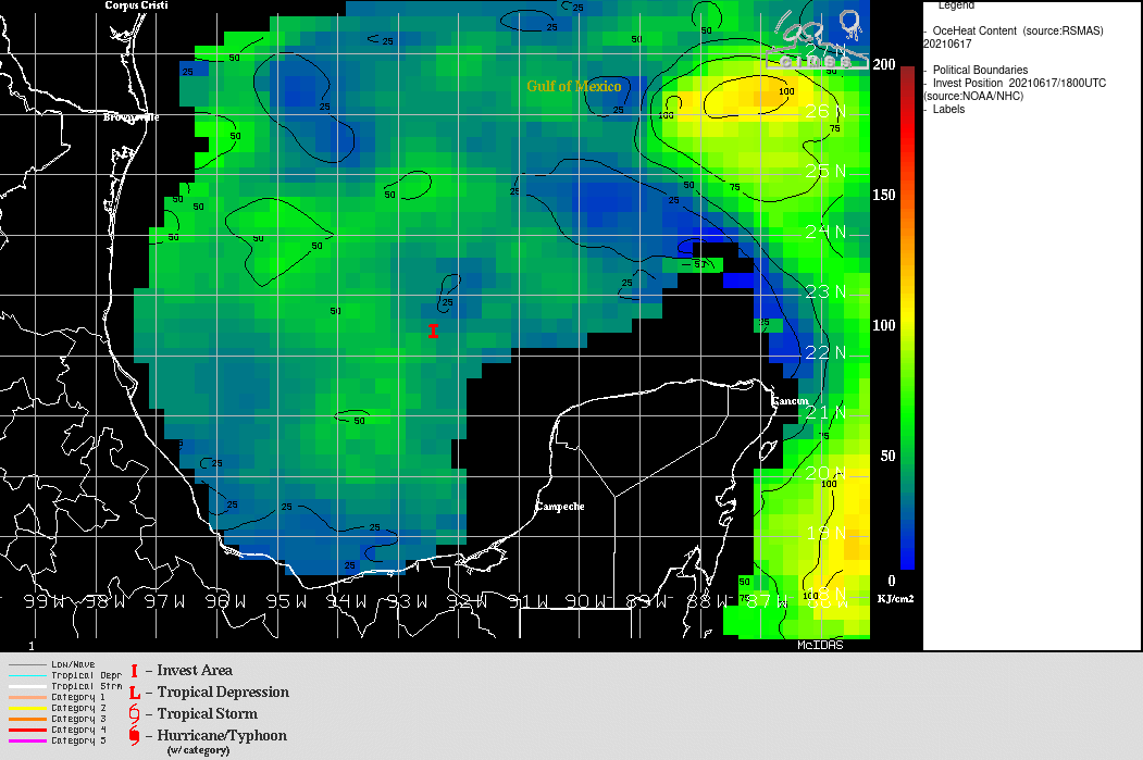
Even though the tropical disturbance was forming over warm waters (SST | OHC), a plot of modest to high amounts of deep-layer wind shear from the CIMSS Tropical Cyclones site (below) indicated that the rate of intensification might be relatively slow.
![GOES-16 Infrared Window images, with contours of deep-layer wind shear [click to enlarge]](https://cimss.ssec.wisc.edu/satellite-blog/images/2021/06/210617_goes16_infrared_shear_PTC3_anim.gif)
GOES-16 Infrared Window images, with contours of deep-layer wind shear [click to enlarge]