This website works best with a newer web browser such as Chrome, Firefox, Safari or Microsoft Edge. Internet Explorer is not supported by this website.

Archive: Mon Jun 2021

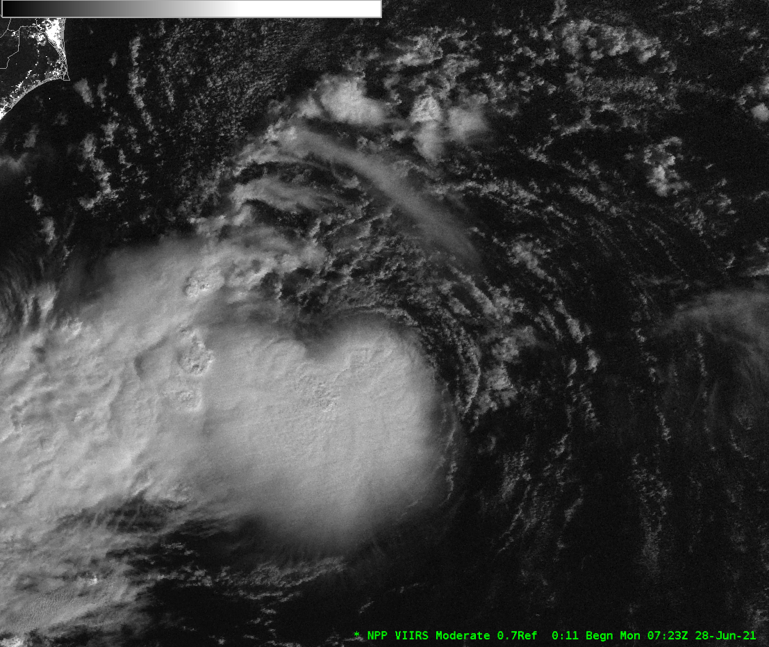
Subtropical storm Raoni off the coast of South America

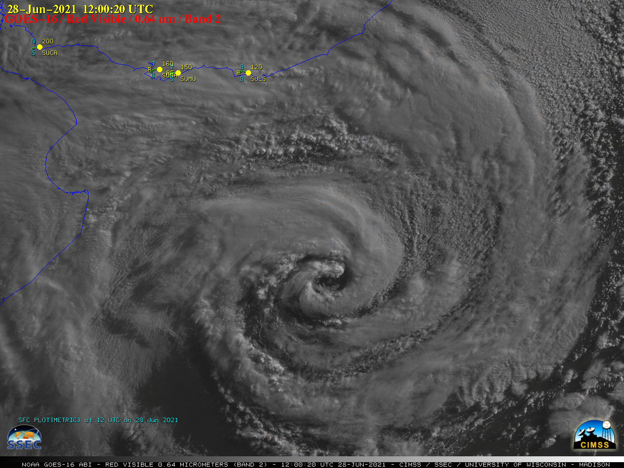
GOES-16 (GOES-East) “Red” Visible (0.64 µm) images (above) showed the circulation of Subtropical Storm Raoni (discussion issued by MARINHA) off the coast of Argentina/Uruguay on 28 June 2021.In the corresponding GOES-16 “Clean” Infrared Window (10.35 µm) images (below), the coldest cloud tops exhibited infrared brightness temperatures around -50ºC (shades of yellow).===== 29 June Update =====GOES-16 Visible... Read More

Tropical Depression Four off the South Carolina coast

Update: Tropical Depression 4 strengthened to become Tropical Storm Danny at 1905 UTC on 28 June (link).GOES-16 visible imagery (0.64 µm), above, from the morning of 28 June 2021, shows a compact low-level circulation east of South Carolina, steadily moving towards the coast. Deep convection with this system is offset... Read More

Strong winds from SAR over the South Pacific

The animation above shows convection over the south Pacific to the east of American Samoa (note the Manu’a Islands just east of 170 W Longitude in the animation). Extensive cloud cover will limit the ability of the GOES-17 instrument to detect low-level cloud motions underneath the deep convection, which motions... Read More