Blowing dust in the Upper Midwest
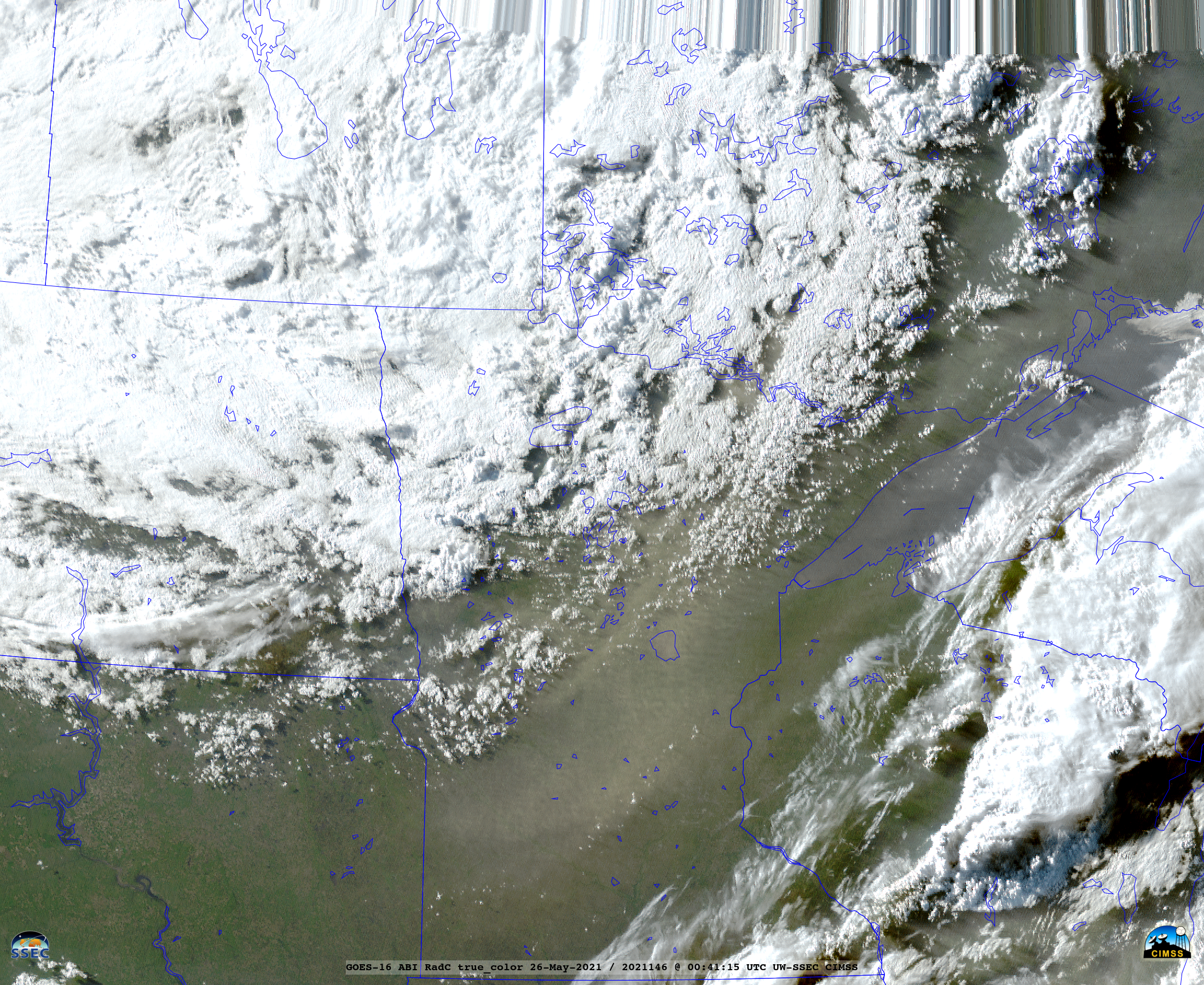
GOES-16 (GOES-East) Split Window Difference images (above) showed widespread strong winds across the Dakotas and northern Minnesota which were responsible for producing plumes of blowing dust (darker shades of gray) — most notably from eastern North Dakota into northwestern Minnesota — on 24 May 2021.The corresponding GOES-16 Split Window Difference images with plots of... Read More