Hurricane Florence makes landfall in North Carolina
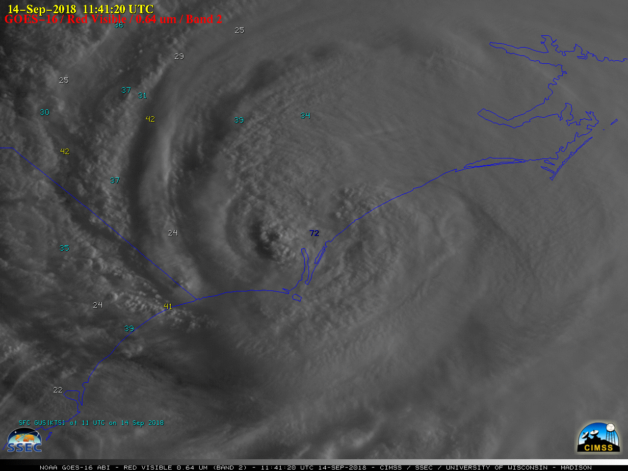
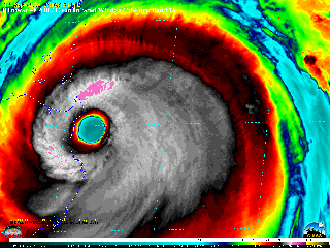
Hurricane Florence made landfall near Wrightsville Beach, North Carolina at 1115 UTC (7:15 am EDT) with estimated maximum winds of 78 knots (90 mph) and a minimum central pressure estimate of 958 hPa (28.29″). Overlapping GOES-16 (GOES-East) Mesoscale Domain Sectors provided images every 30 seconds — “Red” Visible (0.64 µm) images (above) and “Clean”... Read More
