Severe thunderstorms across the Deep South and Ohio Valley
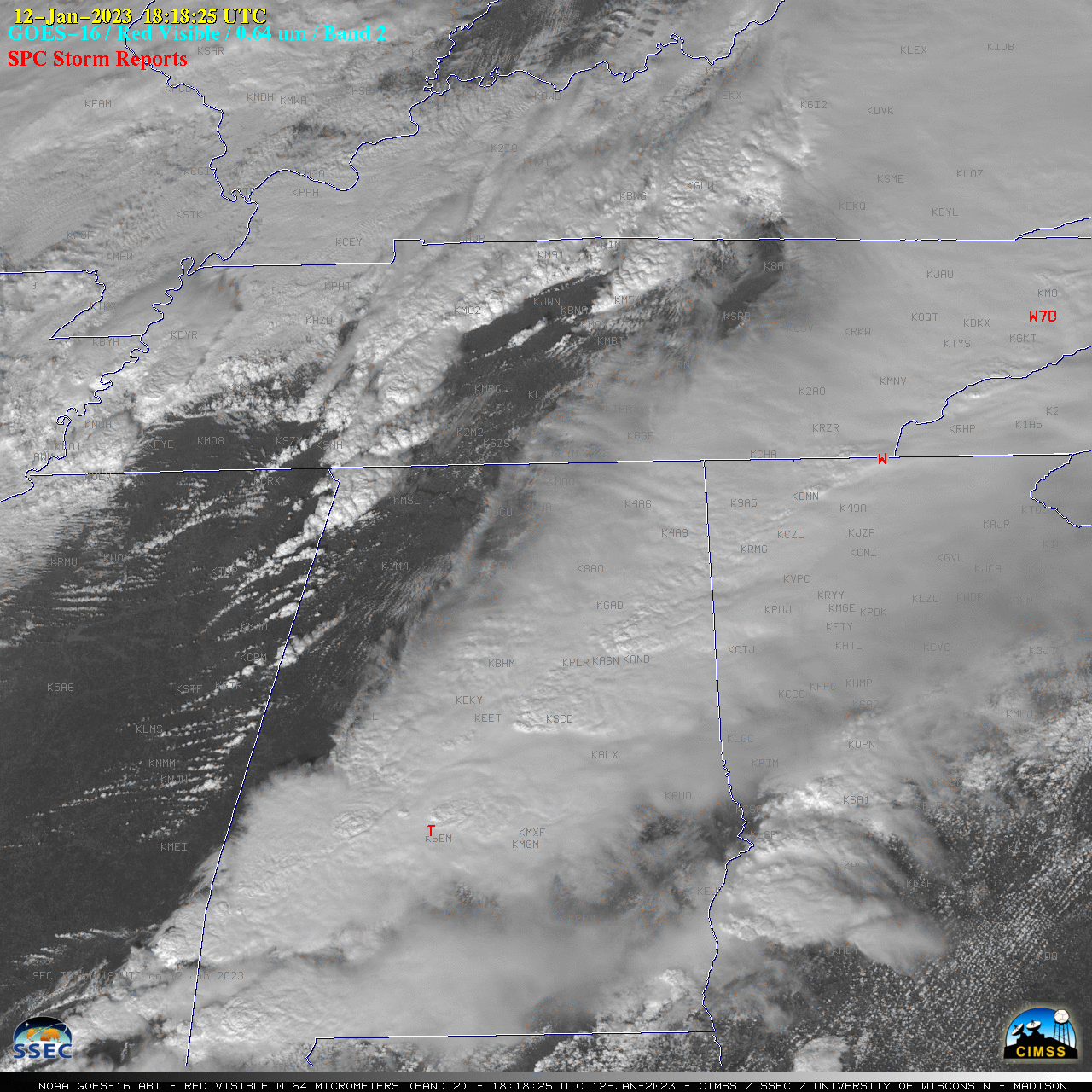
1-minute GOES-16 (GOES-East) Mesoscale Domain Sector “Red” Visible (0.64 µm) images (above) included time-matched (+/- 3 minutes) plots of SPC Storm Reports — which showed severe thunderstorms that moved east-northeastward across parts of the Deep South and Ohio Valley on 12 January 2023.1-minute GOES-16 “Clean” Infrared Window (10.3 µm) images (below) indicated that the coldest pulsing overshooting tops associated... Read More