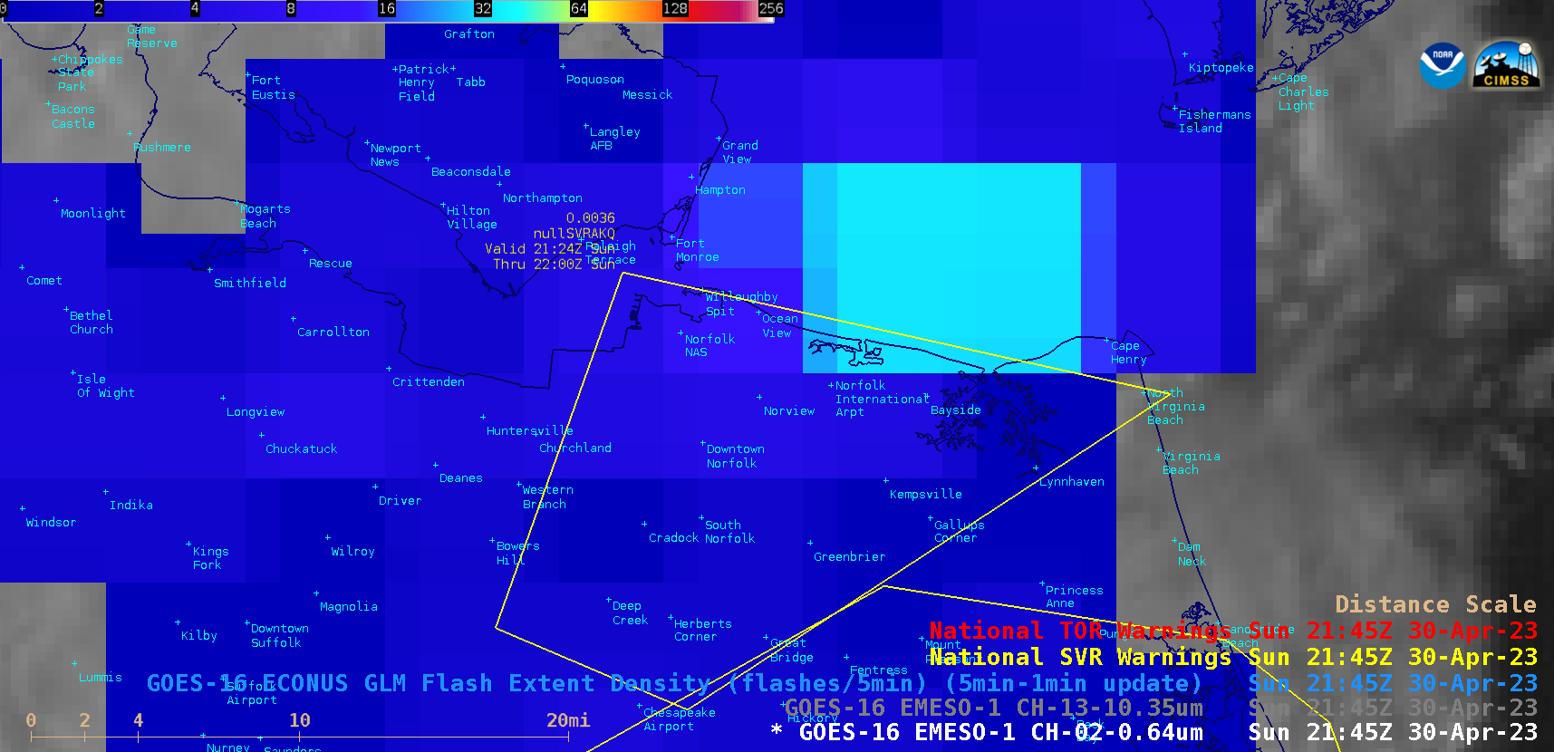
This website works best with a newer web browser such as Chrome, Firefox, Safari or Microsoft Edge. Internet Explorer is not supported by this website.

Category: Severe convection

30-second imagery of severe thunderstorms across Montana

GOES-18 images in this blog post are preliminary and non-operational Overlapping 1-minute Mesoscale Domain Sectors provided GOES-18 “Red” Visible (0.64 µm) images at 30-second intervals (above), which include time-matched SPC Storm Reports. This imagery showed widespread thunderstorms that moved eastward across Montana on 09 July 2022, which produced damaging straight-line winds as strong as 78... Read More

Severe thunderstorms across Iowa, Wisconsin and Michigan

1-minute Mesoscale Domain Sector GOES-16 (GOES-East) “Red” Visible (0.64 µm) images (above) include time-matched SPC Storm Reports — and showed the development severe thunderstorms across parts of Iowa, Wisconsin and Upper Michigan during the afternoon and early evening hours on 15 June 2022. Boundary layer feeder band clouds could be seen flowing north-northeastward into some of the growing thunderstorms —... Read More