Large hail and heavy rainfall in the St. Louis area
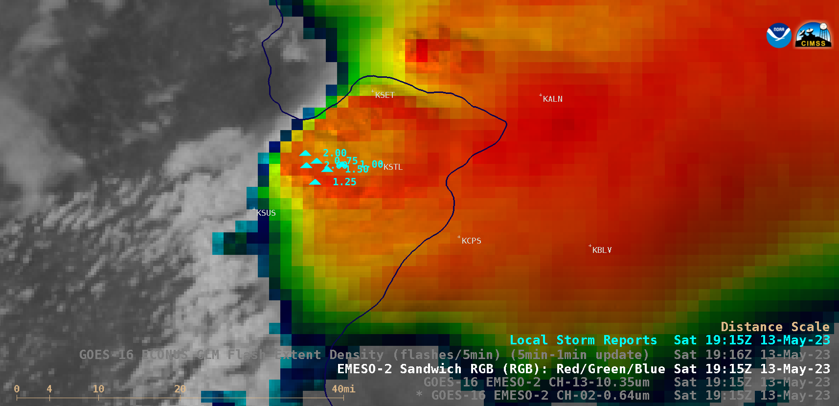
1-minute Mesoscale Domain Sector GOES-16 (GOES-East) Visible/Infrared Sandwich RGB images (above) showed thunderstorms that produced a few clusters of large hail (up to 3.00 inches in diameter: SPC Storm Reports) in the St. Louis, Missouri area on 13 May 2023.There were also several reports of heavy rainfall — GOES-16 Visible/Infrared Sandwich RGB images at 1956 UTC UTC, 2100 UTC and 2124 UTC... Read More