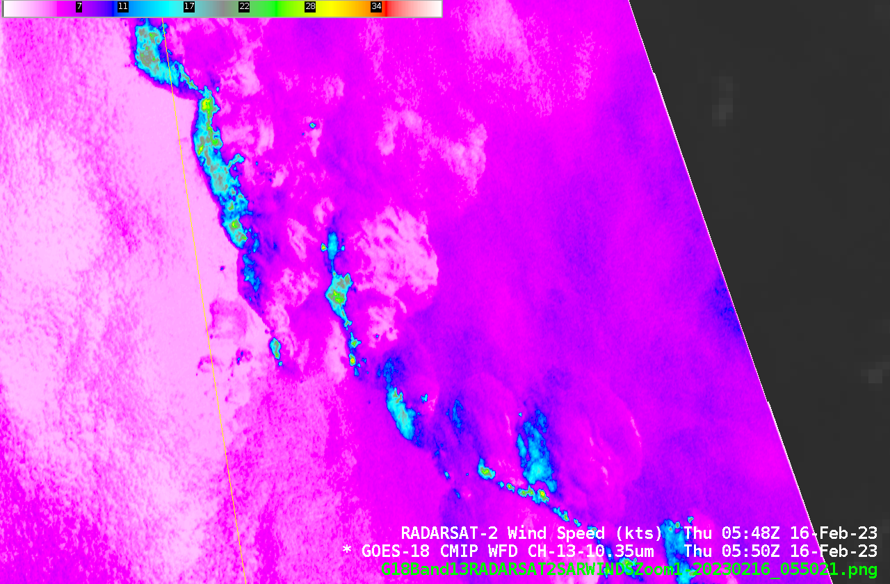
More SAR data over Cyclone Freddy, and parallax
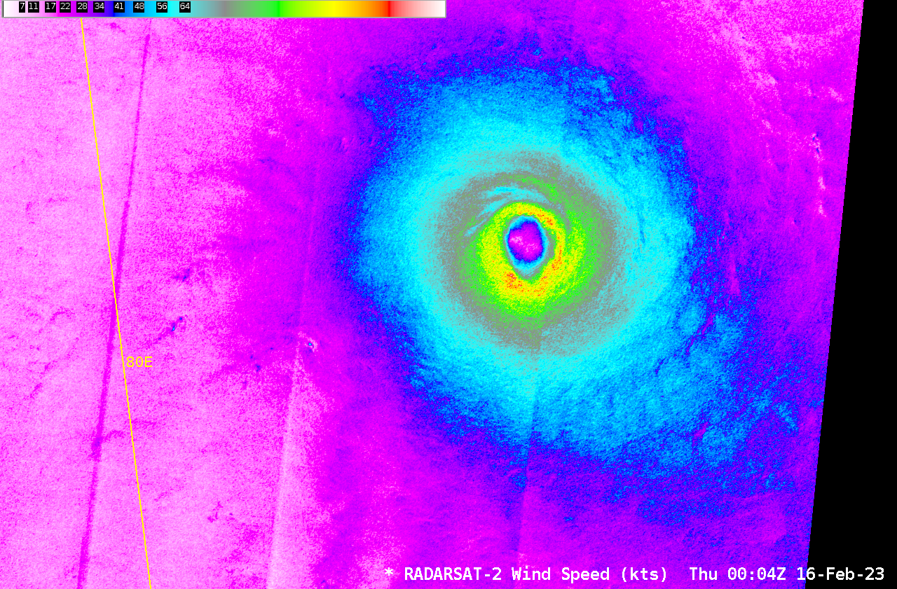
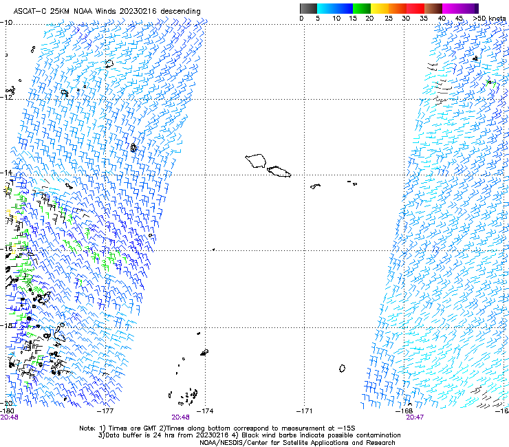
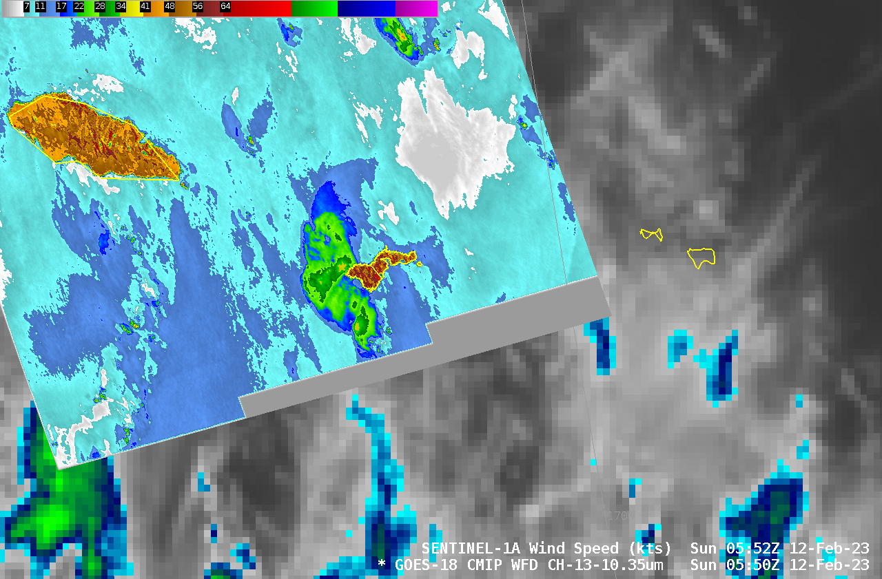
RADARSAT-2 and RCM-1 had two closely-spaced overpasses over Cyclone Freddy in the Indian Ocean early on 16 February 2023, as shown above. Eyewall speeds exceed 130 knots in the RCM-1 data! (Imagery and data are available here). The quadrant analyses for RCM-1 and for RADARSAT-2 show hurricane-force winds extending out... Read More
