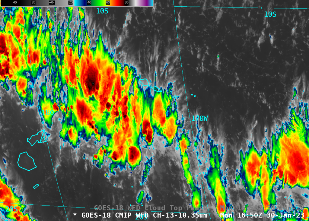
SAR Imagery collection near American Samoa
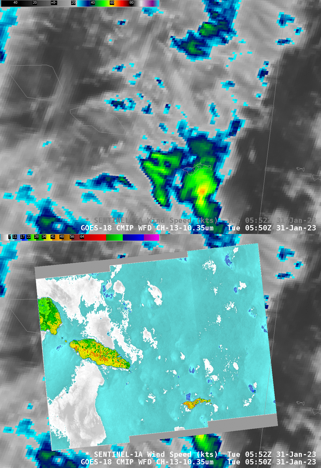
SAR data are being acquired over American Samoa for the next several weeks. SAR data from a Sentinel-1A overpass at 0553 UTC on 31 January, shown above (from this website), shows mostly light winds, mostly less than 10 m/s. The Normalized Radar Cross Section (NRCS) data can be used to view any ice contamination in the wind speed image. Ice can cause very strong reflection of the SAR signal that will be misinterpreted as strong winds. If significant ice is present in any convective tower, it will have a feathery appearance in the NRCS data.
SAR netcdf files can also be imported into AWIPS, and the toggle below compares GOES-18 Band 13 imagery and SAR data at the same time. On this day it is challenging to relate the small increases in wind apparent in the SAR imagery to Band 13 satellite imagery.
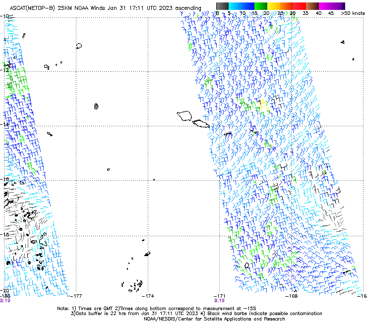
MetopB overflew the Samoan Islands shortly after 0900 UTC (link), and Advanced Scatterometer (ASCAT) winds from that platform also show weak winds. MetopC ASCAT winds from 0831 and 1011 UTC show light winds as well.
Thanks to the NOAA Office of Observations and NOAA/NESDIS/STAR SMCD and SOCD for arranging these observations.
The Special Collection actually started on 30 January, and two RADARSAT collections occurred, one at 0544 (Wind Analaysis is here; NRCS is here) and one at 1647 UTC (Wind Analysis ; NRCS). Toggles of the two image pairs are shown below.
The 1647 UTC wind speed analysis includes regions where contamination by thick ice in clouds is likely occurring. That is, those very strong wind values (nearly 50 knots!) centered near 16.25 S and 171.5 W are not true surface winds speeds, but arise because of strong reflection from thick ice within convective clouds in that vicinity. (The ice features have a feathery look in the NRCS fields). GOES-18 Band 13 imagery over that region, below, shows abundant deep convection. The GOES-18 Cloud Phase product (here) indicated ice clouds over the convection, but only within certain regions of the convection was the ice thick enough to reflect enough SAR radiation to affect the derived wind speeds.
