SAR Observations near American Samoa (part III)
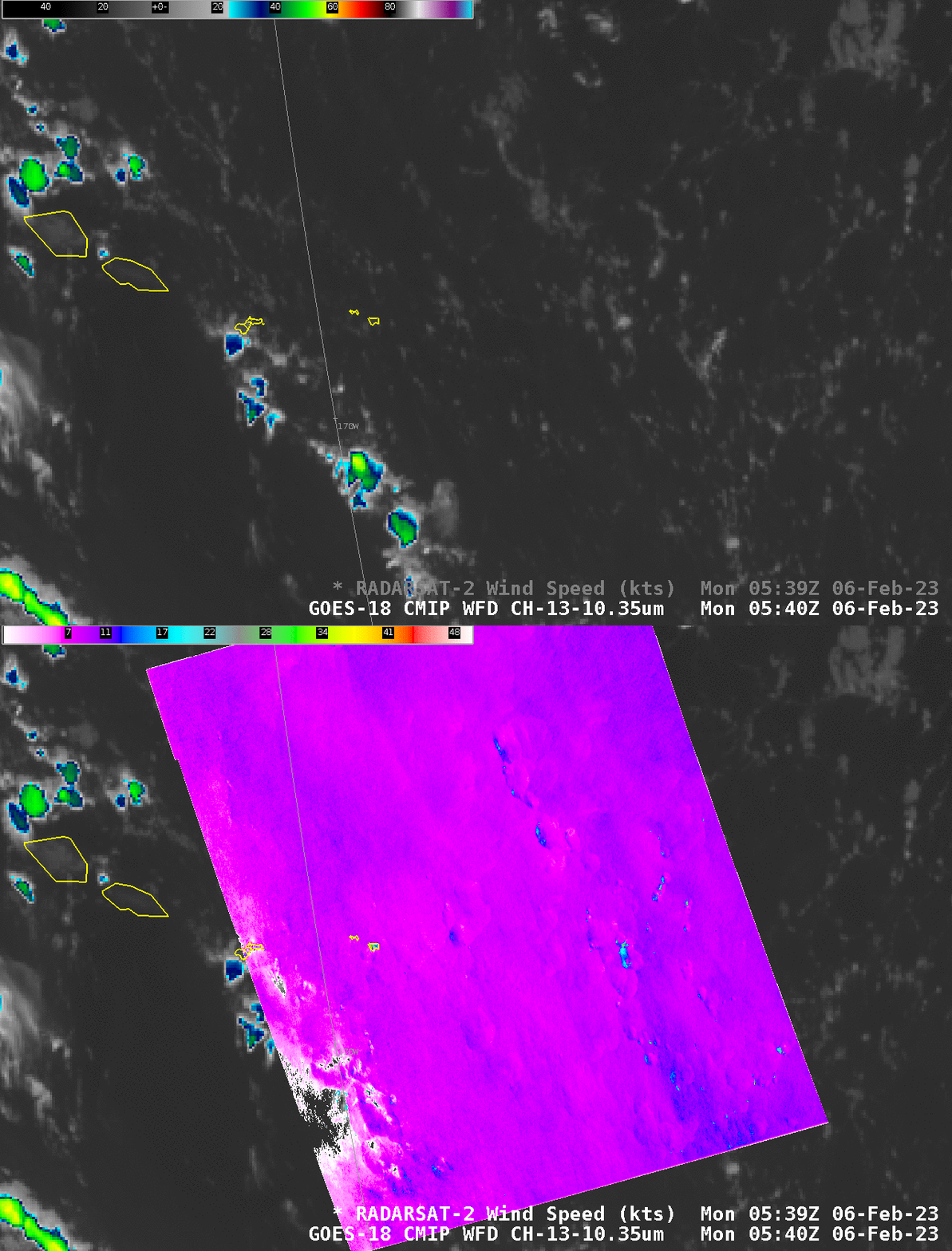
Synthetic Aperture Radar (SAR) RADARSAT-2 observations continue in/around the South Pacific Ocean surrounding American Samoa. On 6 February, observations occurred at 0543 and 1640 UTC. The toggle below compares the 0540 UTC Band 13 Clean Window infrared (10.3 µm) image with overlain SAR winds (color-enhanced with the AWIPS ‘gridded data’ enhancement, with values from 0-50 knots). This was a day with wind speeds around 10-12 knots over the ocean, with exception of a few lines of stronger winds. As with previous events, the strongest winds in these SAR analyses are likely related to highly reflective ice in the clouds. (Here is a toggle of the wind analysis and the Normalized Radar Cross Section NRCS analysis taken from this website; ice shows up as very bright white feathery structures in the NRCS imagery).

The Shortwave Infrared (ABI Band 7, 3.9) mp4 animation, below, (from the CSPP Geosphere site; here’s the direct link) shows the persistent westward motion of cloud features.
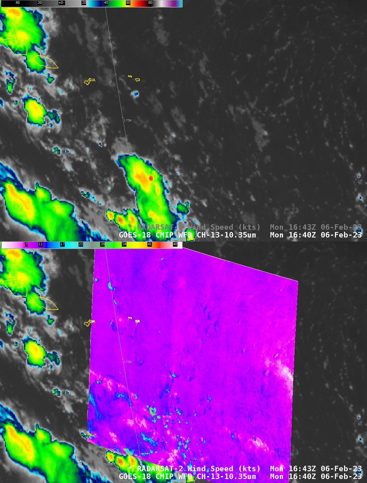
RADARSAT-2 also overflew American Samoa at 1643 UTC on 6 February. The toggle below shows the derived SAR wind speed and the GOES-18 Clean Window infrared (Band 13, 10.3 µm) imagery at that time. As with the morning pass, the strongest winds here are associated with ice crystals within the clouds, identifiable in the NRCS imagery (link to original imagery).


