Sentinel 1A SAR data over the South Pacific
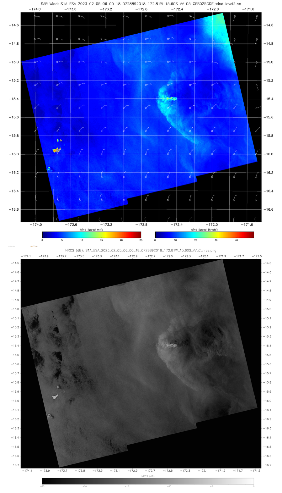
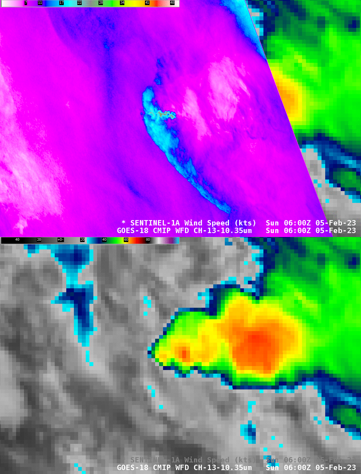
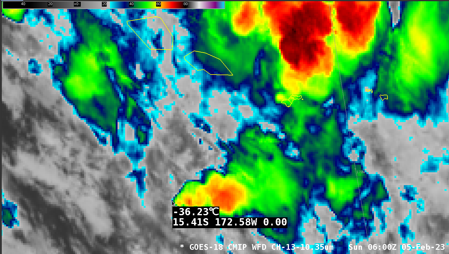
As noted previously, NOAA/STAR has arranged for special Synthetic Aperture Radar (SAR) wind observations over American Samoa during the month of February. Sentinel-1A SAR also provides occasional observations in and around the Samoan islands. The toggle above compares (using imagery from this website) derived wind speed and Normalized Radar Cross Section (NRCS) at 0600 UTC on 5 February 2023; a corresponding GOES-18 Clean Window infrared image is shown below, with the western-most end of a convective feature sampled (Here is the image without the sampling information). The coldest brightness temperatures with that convective complex are in the -61 to -66oC range. (This animation from 0500 to 0750 UTC shows the convection decaying with time).
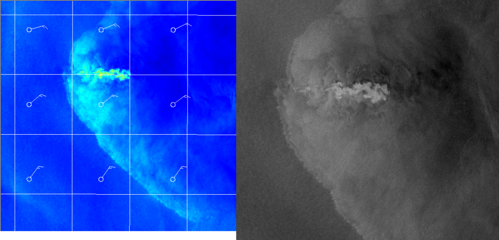
Outflow winds with this system are in the 15-20 knot range (bright cyan colors). The strongest derived winds — along 15.4o N in the wind analysis — are a result of ice in the cloud affecting the cloud signal. The NRCS for that region has the feathery characteristic of highly reflective ice crystals.
Sentinel-1A continued north, and sampled the waters surrounding Samoa, as shown in the toggle of derived windspeed and NRCS below. The island of Savai’i has an affect on the winds!
When comparing SAR surface winds and GOES-18 (or any geostationary satellite) imagery, you must make sure to consider the effects of parallax. The satellite information may be parallax-shifted. Thus, the coldest brightness temperatures in the ABI imagery may not align with the region where ice crystals are affecting the SAR signal.
