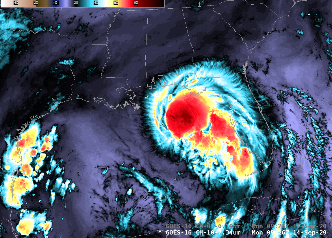
Comparing SAR wind data to GOES-16 ABI imagery

Synthetic Aperture Radar (SAR) imagery can be used to produce very high resolution mapping of winds. Imagery is available in selected domains at this NOAA/OSPO website; OSPO is the Office of Satellite Product Observations. Data are available from three different satellites: Sentinel-1/Sentinel-2 (managed by the European Space Agency) and RADARSAT (managed by the Canadian Space Agency). These space-borne radars can... Read More