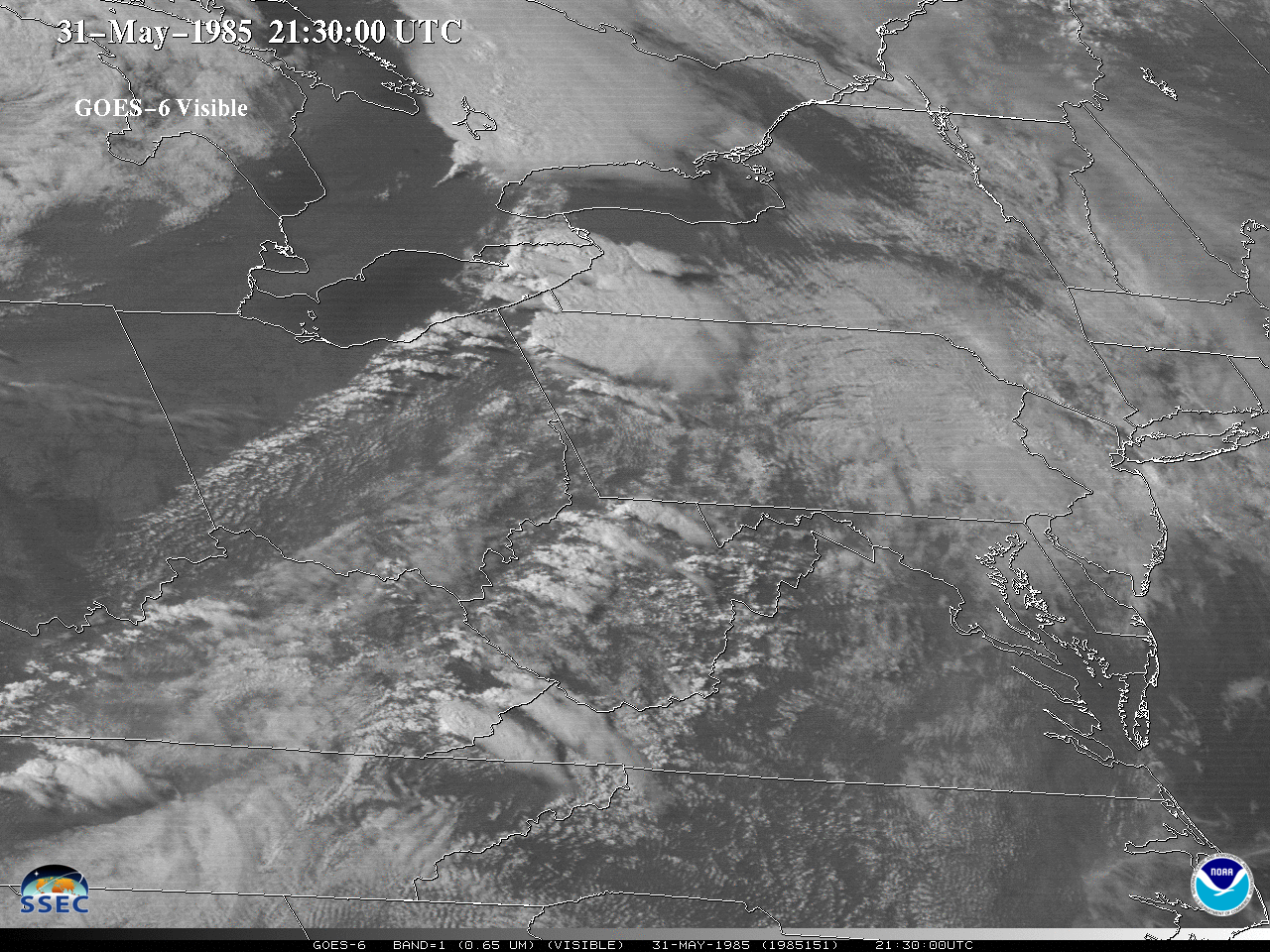
1985 (May 31st) Tornado Outbreak as seen from GOES-6
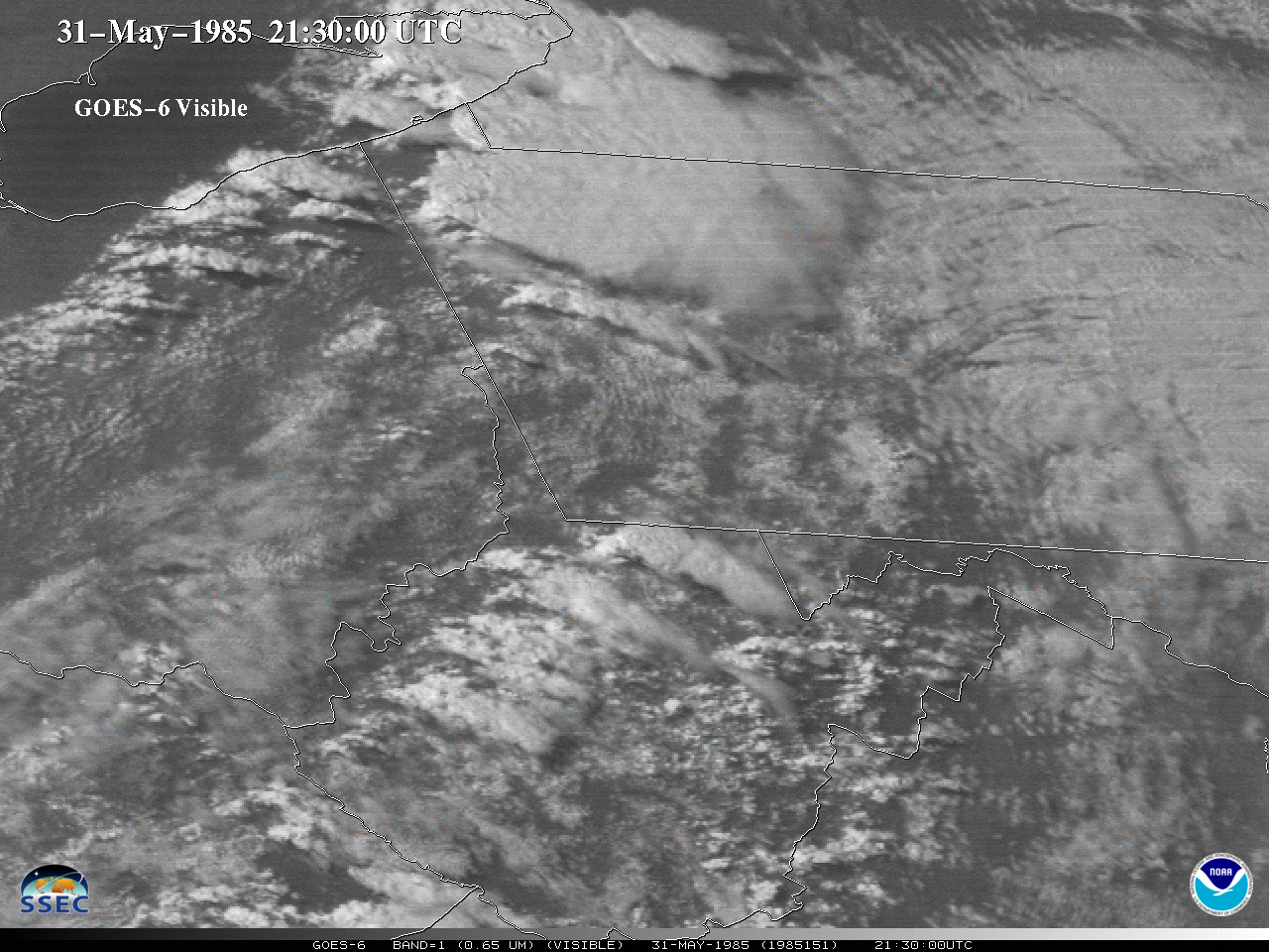
The visible and infrared bands from GOES-6 observed the historic (31 May 1985) tornado outbreak over Pennsylvania and other parts of the Northeast. For the IR band, the coldest cloud-top temperatures are highlighted with colors. Here’s is a visible animation a bit more zoomed in.A GOES-6 visible loop, starting at... Read More
