Tropical Storm Elsa forms in the Atlantic
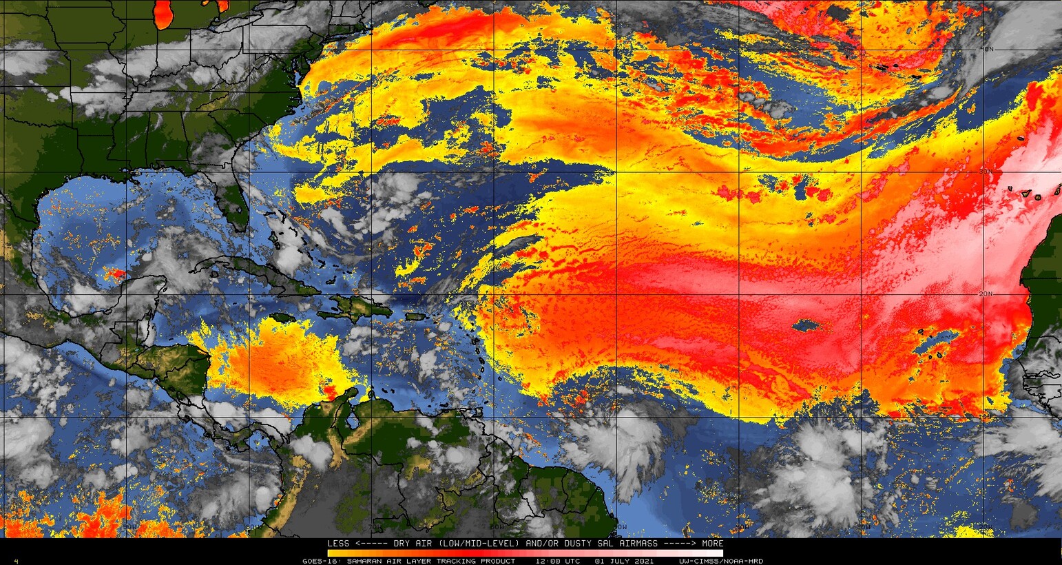
https://cimss.ssec.wisc.edu/satellite-blog/wp-content/uploads/sites/5/2021/07/Elsa_CSPP-GeoSphere.mp4Night Time Microphysics (at night) and True-Color imagery (during the day) over the eastern Atlantic, 0920 – 1220 UTC on 1 July 2021Tropical Storm Elsa has formed over the tropical eastern Atlantic Ocean. True-color imagery from CSPP Geosphere (link) shows the storm with occasional bursts of deep convection. Elsa has... Read More