Using CSPP QuickLooks and Direct Broadcast data to view gridded NUCAPS fields
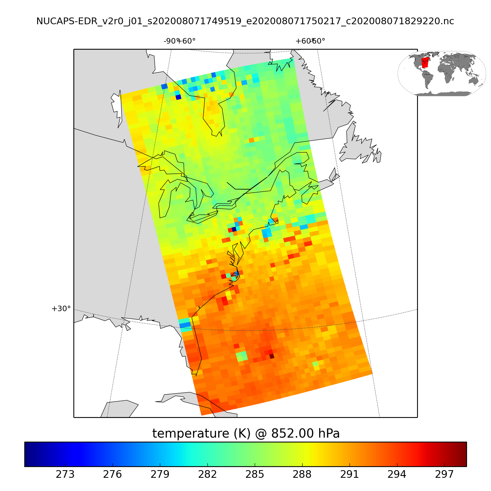
A previous blog post (link) detailed how to access NOAA CLASS to create Gridded NUCAPS (NOAA-Unique Combined Atmospheric Processing System) imagery from those data. (You can also view some gridded NUCAPS fields here; click here to see the 850-mb field of Temperature from that site, it is very similar to... Read More
