Tropical Moisture moving into Florida
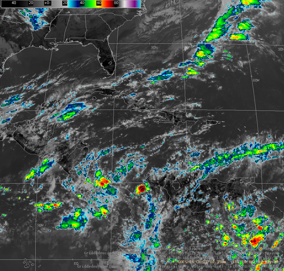
GOES-16 Clean Window imagery from 1800 UTC on 7 May 2020, above, suggests a frontal zone from the central Atlantic southwestward through the Florida Straits. What products can be used to diagnose the moisture differences between the dry airmass over the southeast United States/Florida and the far moister airmass over the central and western Caribbean Sea?
Total Precipitable Water is a Baseline Level-2 GOES-16 Product that is produced in clear air, and the toggle of it, with the Clean Window Imagery (and also overlain on top of the Clean Window Imagery), below, shows abundant moisture to the south and east of Florida. The cloud-free demand of this Level 2 product makes it difficult to determine exactly where the moisture gradient sits.

GOES-16 ABI Band 13 (10.3 µm) Infrared Imagery and Level-2 Total Precipitable Water Product, 1800 UTC on 7 May 2020 (Click to enlarge)
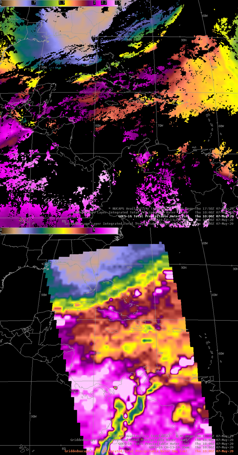
NOAA-20 overflew the east coast of the United States shortly after 1800 UTC on 7 May 2020 (map, from this site). The gridded field of Total Precipitable Water that was derived from the different vertical profiles (shown below in a toggle with the TPW and the points) shows a tight gradient over central Cuba.

NOAA-20 NUCAPS Profiles and Derived Total Precipitable Water field, ca. 1800 UTC on 7 May 2020 (Click to enlarge)
A strength of the NUCAPS-derived TPW is that it is produced in regions of clear and cloudy skies because it can rely on microwave sounder data in regions where clouds prevent the infrared sounder from giving a complete solution. The toggle below compares the GOES-16 Total Precipitable Water (a global product that gives cloud-free values every hour) with the NUCAPS product that gives an image along the swath). Both products give similar values of TPW.


