Upper-tropospheric stability around wildfires
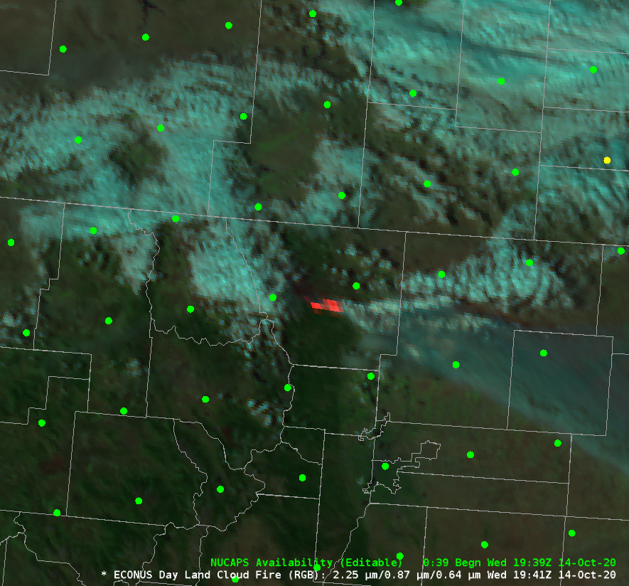
Strong winds on 14 October invigorated the Cameron Peak fire to the west of Fort Collins, producing an extensive smoke plume. The Day Land Cloud Fire RGB, above, includes the near-infrared 2.25 µm channel (GOES-16 Band 6) that shows the active fire in red and the ‘Veggie’ Band at 0.87 µm (a... Read More
