Using data from NODD and Polar2Grid to create animations with JPSS data
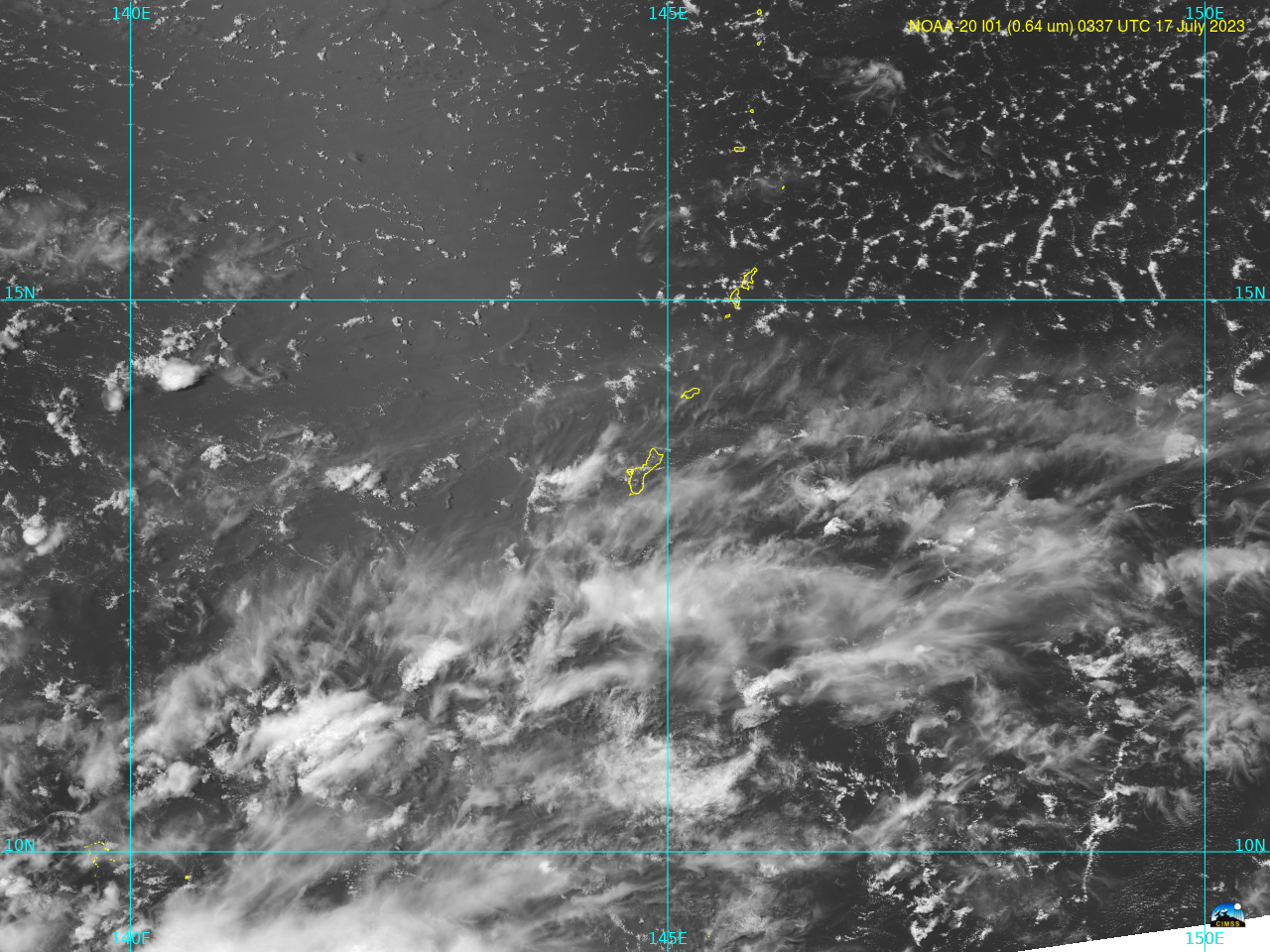
The presence of three JPSS satellites — Suomi NPP, NOAA-20 and NOAA-21 — allows for animations at high resolution (I01 imagery on VIIRS has 375-m resolution) at even low latitudes. The animation over the island of Guam (at 13.4oN) shows the evolution of clouds between 0246 and 0358 UTC on... Read More
