Ice accrual from freezing rain/drizzle in the Northeast US
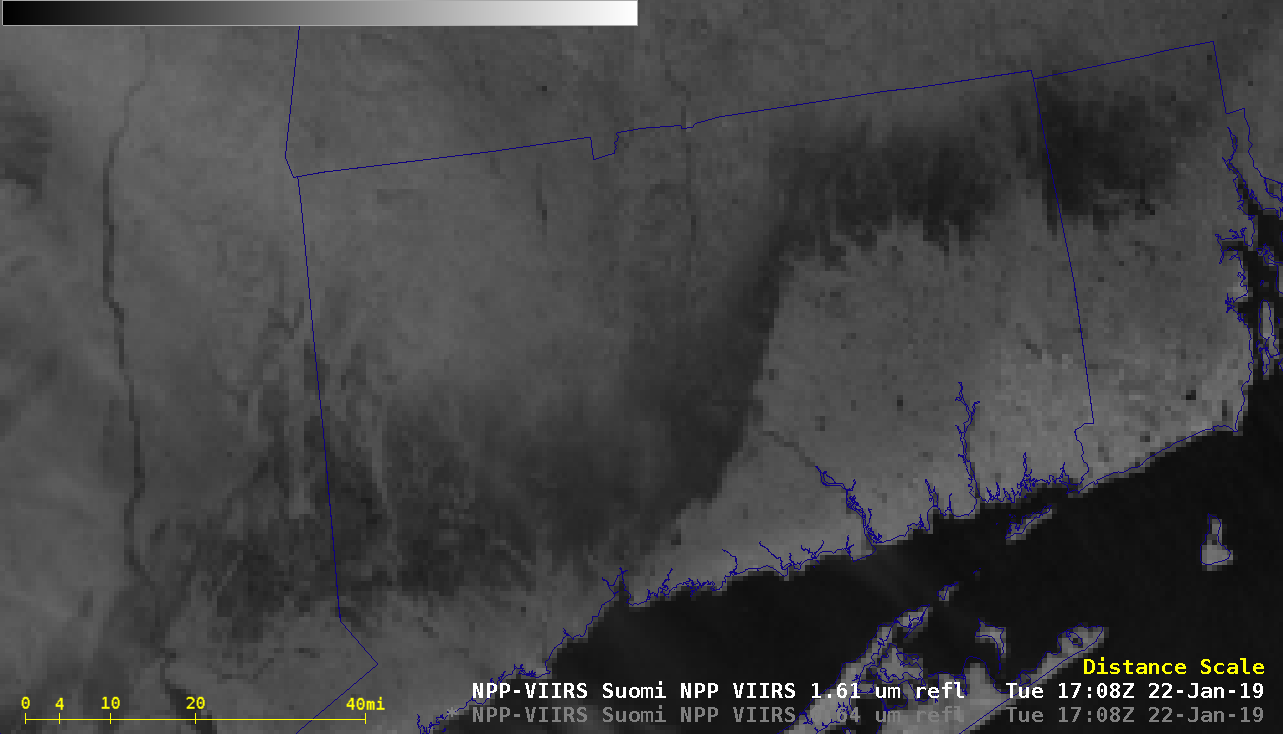
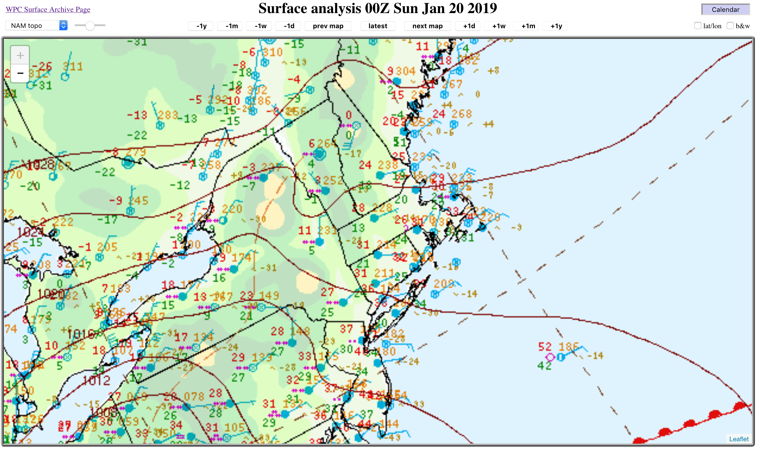
A large central/eastern US winter storm impacted much of the Northeast with rain, snow, freezing rain/drizzle and strong winds on 20 January 2019 (surface analyses) — and a post-storm comparison of GOES-16 (GOES-East) “Red” Visible (0.64 µm) and Near-Infrared “Snow/Ice” (1.61 µm) images on 22 January (above) revealed a dark 1.61 µm signature (often indicative of significant ice accrual)... Read More
