Meteorite impact in Cuba
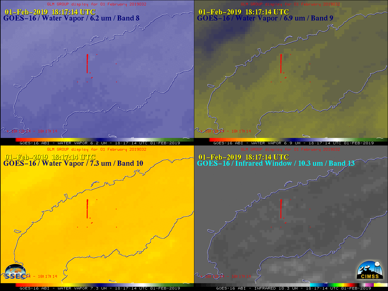
A meteorite landed near Viñales, Pinar del Río in western Cuba (about 58 miles or 93 km northeast of San Julian MUSJ) on 01 February 2019. GOES-16 (GOES-East) Split Cloud Top Phase (11.2 – 8.4 µm), Split Window (10.3 – 12.3 µm), Near-Infrared “Cirrus” (1.37 µm) and “Red” Visible (0.64 µm) images (above) revealed signatures of the airborne debris cloud... Read More
