Winter storm affecting the southern Plains to the Mid-Atlantic
![GOES-16 Mid-level Water Vapor (6.9 µm) images, with hourly plots of surface weather type [click to play MP4 animation]](https://cimss.ssec.wisc.edu/satellite-blog/wp-content/uploads/sites/5/2018/12/G16_WV_WXS_WINTER_STORM_DEIGO_9_DEC2018_2018343_180218_GOES-16_0001PANEL.GIF)
GOES-16 Mid-level Water Vapor (6.9 µm) images, with hourly plots of surface weather type [click to play MP4 animation]
As much as 10-11 inches of snow fell in the Lubbock, Texas area during 07-08 December. A sequence of Suomi NPP VIIRS Visible (0.64 µm) and Near-Infrared “Snow/Ice” (1.61 µm) images (below) showed the snow cover melting from 09-10 December. Snow cover absorbs radiation at the 1.61 µm wavelength, so it appears very dark on those images.
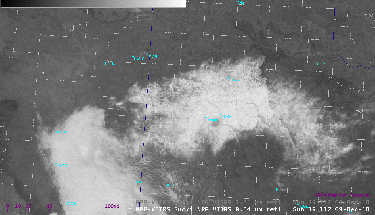
Suomi NPP VIIRS Visible (0.64 µm) and Near-Infrared “Snow/Ice” (1.61 µm) images [click to enlarge]
![Suomi NPP VIIRS Visible (0.64 µm) and Near-Infrared "Snow/Ice" (1.61 µm) images [click to enlarge]](https://cimss.ssec.wisc.edu/satellite-blog/wp-content/uploads/sites/5/2018/12/181209_viirs_visible_snowIce_AR_anim.gif)
Suomi NPP VIIRS Visible (0.64 µm) and Near-Infrared “Snow/Ice” (1.61 µm) images [click to enlarge]
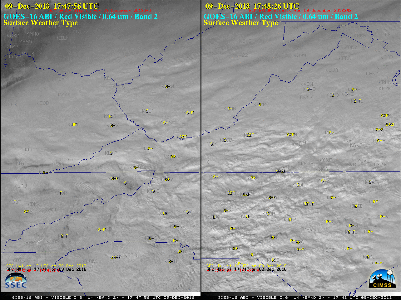
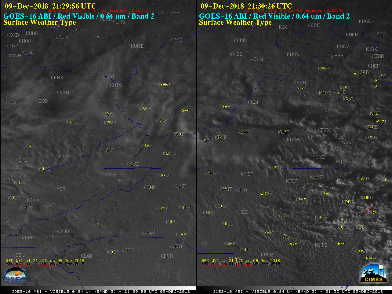
GOES-16 “Red” Visible (0.64 µm) images, with plots of hourly surface weather type in yellow and GLM Groups in red [click to play MP4 animation]
Updated snowfall analysis for the December 8-10, 2018 winter storm as of 7 am this morning. This does not include any additional snow that has fallen since 7 am. Also, here is how the seasonal snowfall totals look as of this morning. pic.twitter.com/JGcEnNS8nV
— NWS Eastern Region (@NWSEastern) December 10, 2018
===== 11 December Update =====
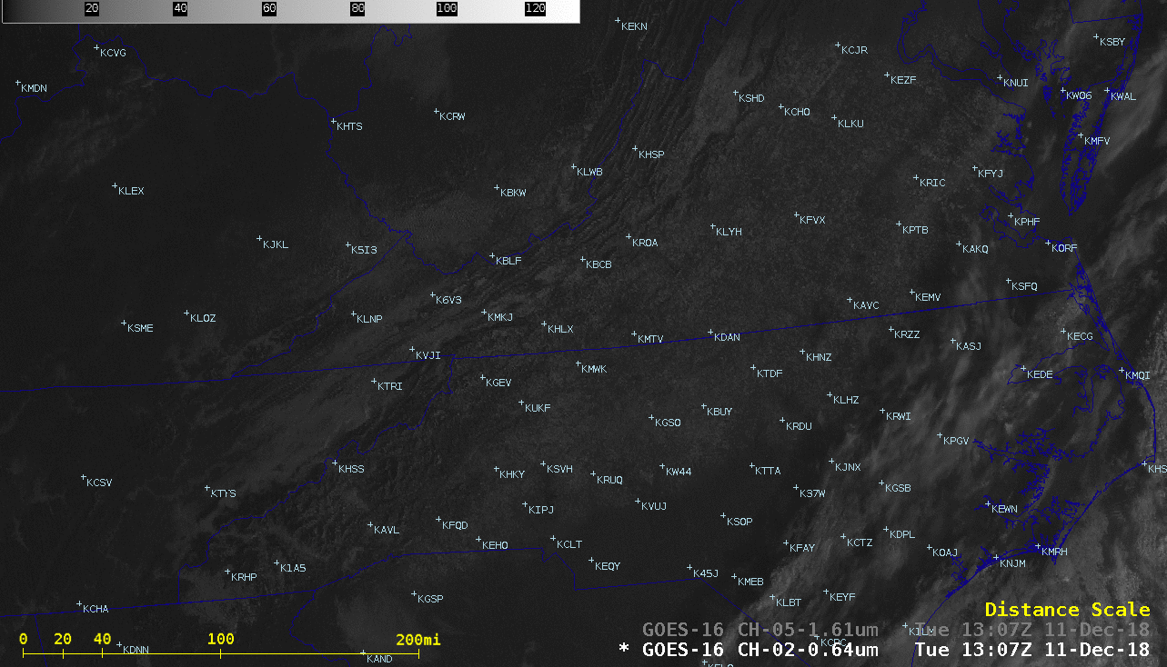
GOES-16 “Red” Visible (0.64 µm) and Near-Infrared “Snow/Ice” (1.61 µm) images [click to play animation | MP4]