This website works best with a newer web browser such as Chrome, Firefox, Safari or Microsoft Edge. Internet Explorer is not supported by this website.

Category: JPSS-1

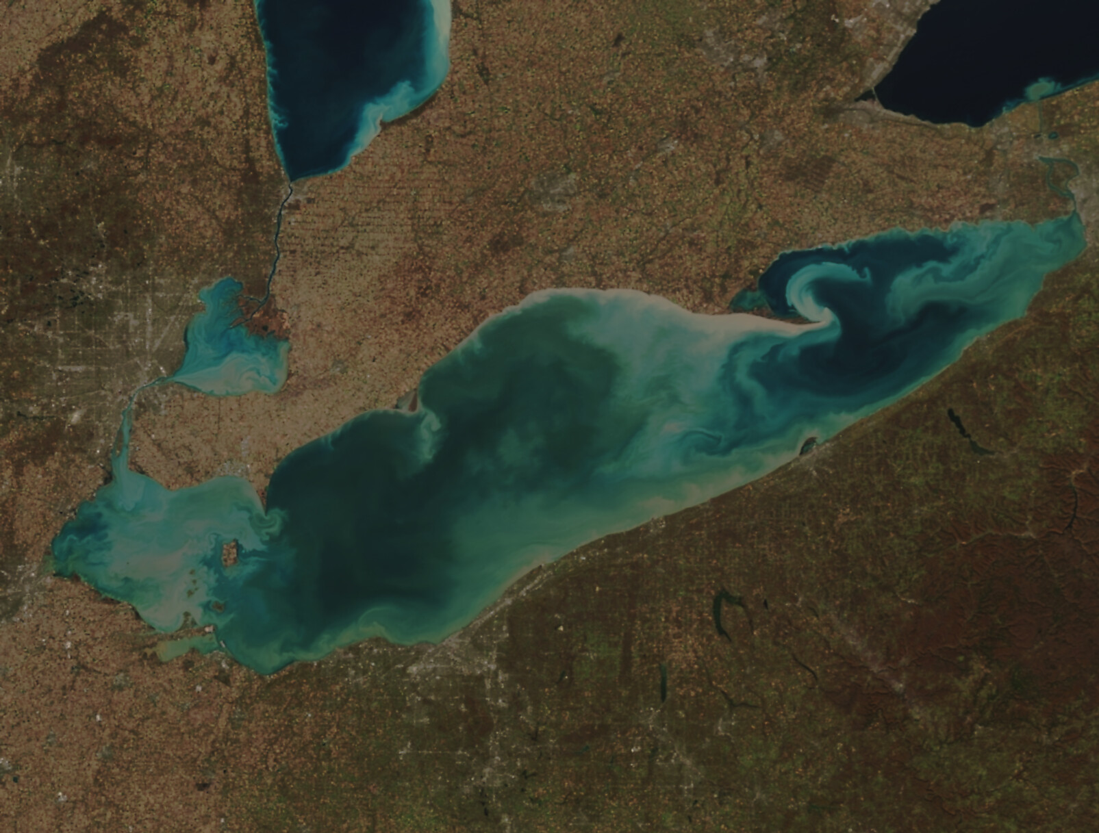
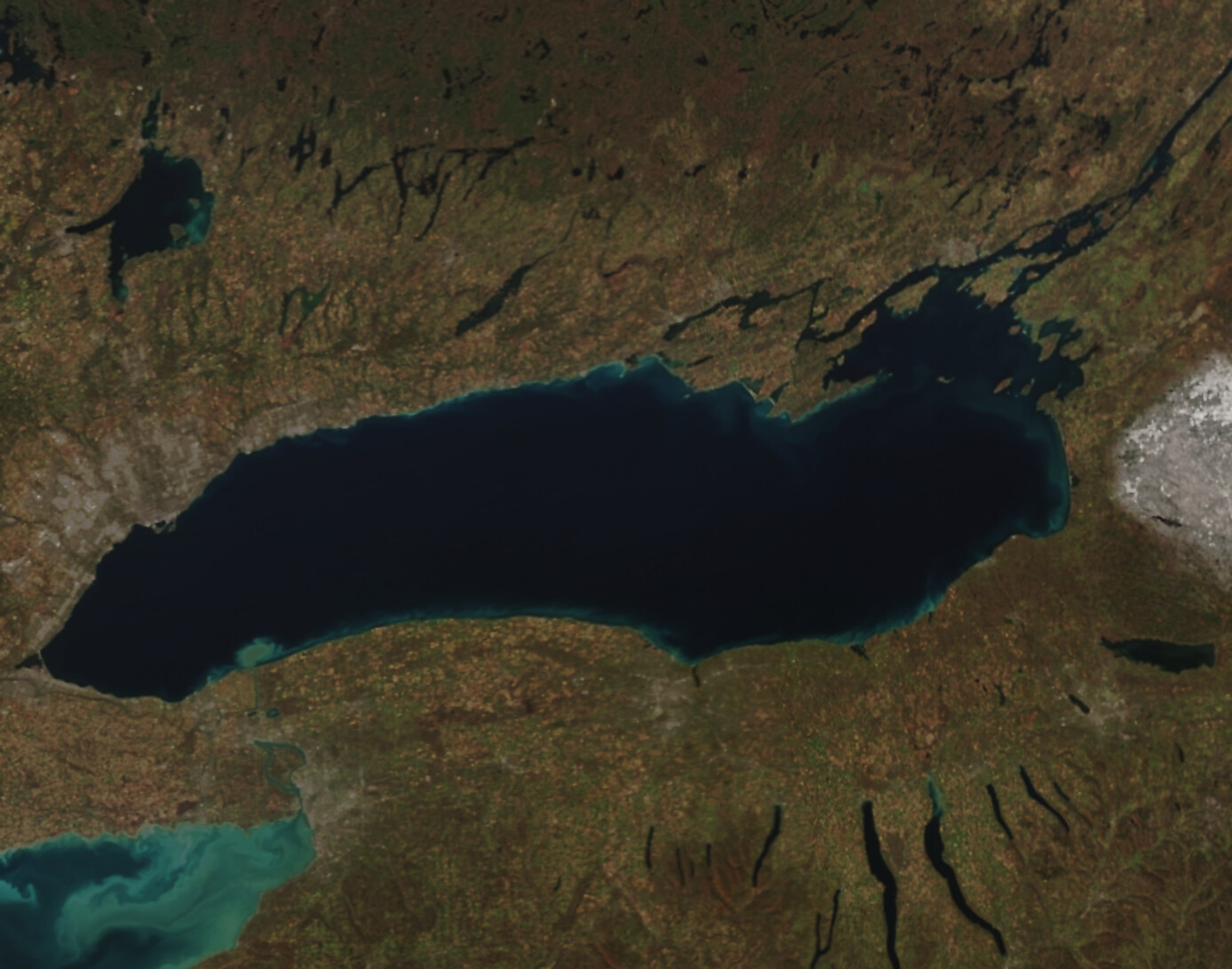
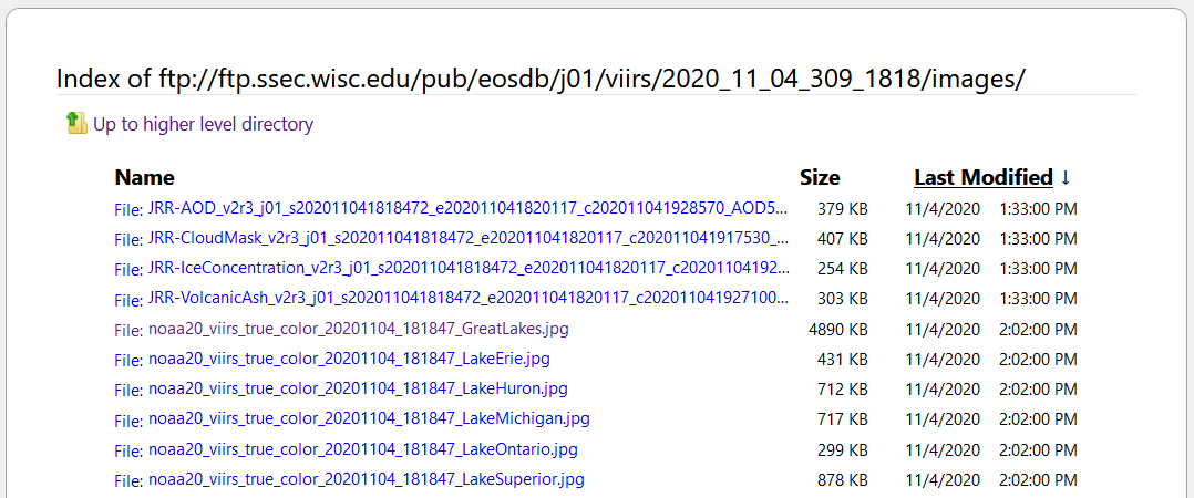
2022 Satellite Highlights via Polar-Orbiting Imagery

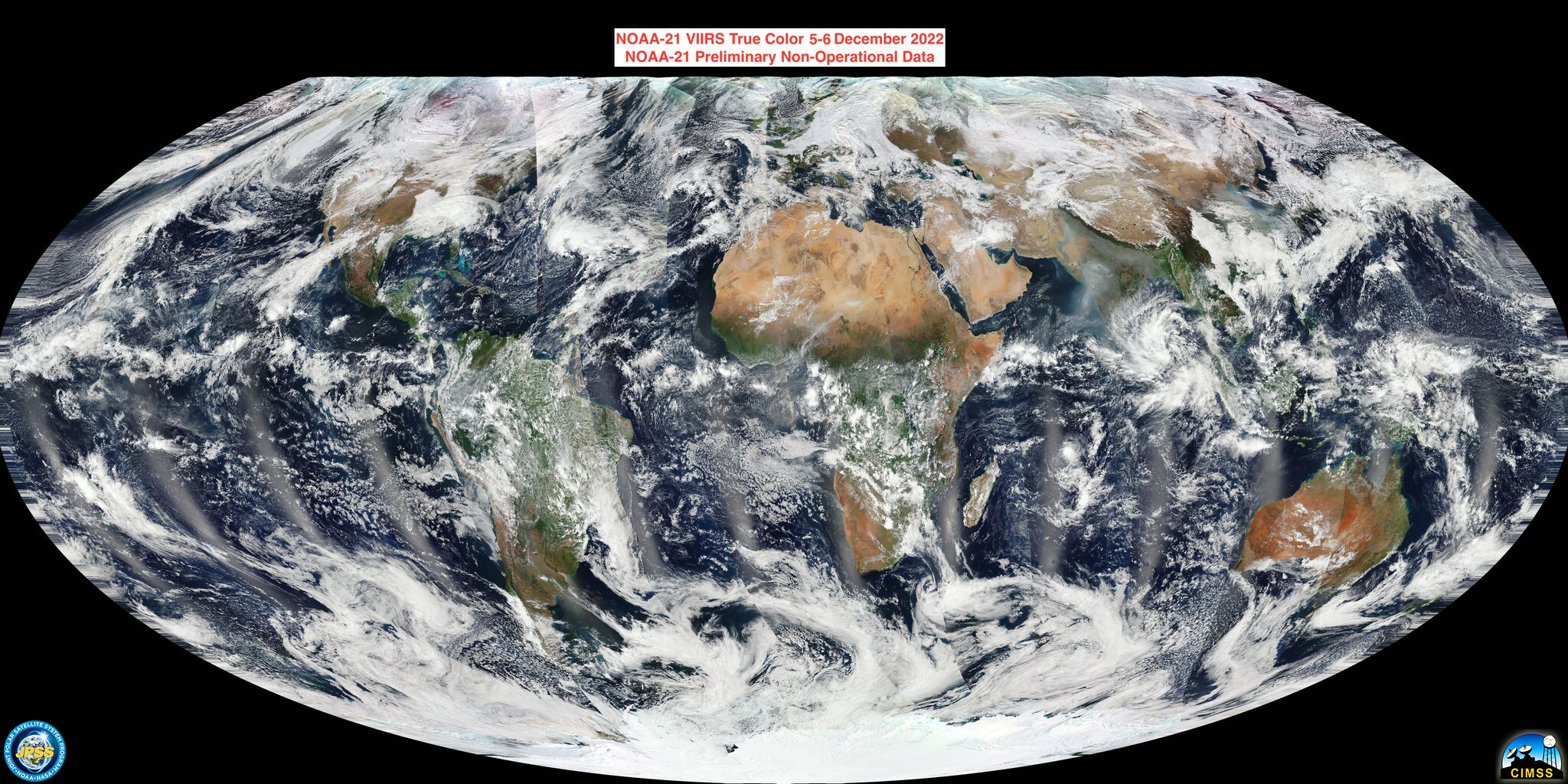
This post features 2022 highlights from a polar-orbiting perspective, with a focus on U.S. scenes, most acquired by the Visible Infrared Imaging Radiometer Suite (VIIRS) flying on the Suomi-NPP and NOAA-20 satellites. Also in 2022: NOAA’s Joint Polar Satellite System (JPSS) launched the JPSS-2 satellite, renamed NOAA-21. First light imagery... Read More

ACSPO SSTs in AWIPS at WFO Guam

Sea Surface Temperatures (SSTs) produced from the Advanced Clear-Sky Processor for Oceans (ACSPO) are now being created in real time at the National Weather Service Forecast Office on Guam (where the National Weather Service day begins). The algorithm is applied to data broadcast from polar orbiter satellites and received at the Direct Broadcast antenna sited at the forecast office.  (Link to CSPP ACSPO Algorithm) Because there are... Read More