Derived Motion Winds near the surface with a strong East Coast Storm

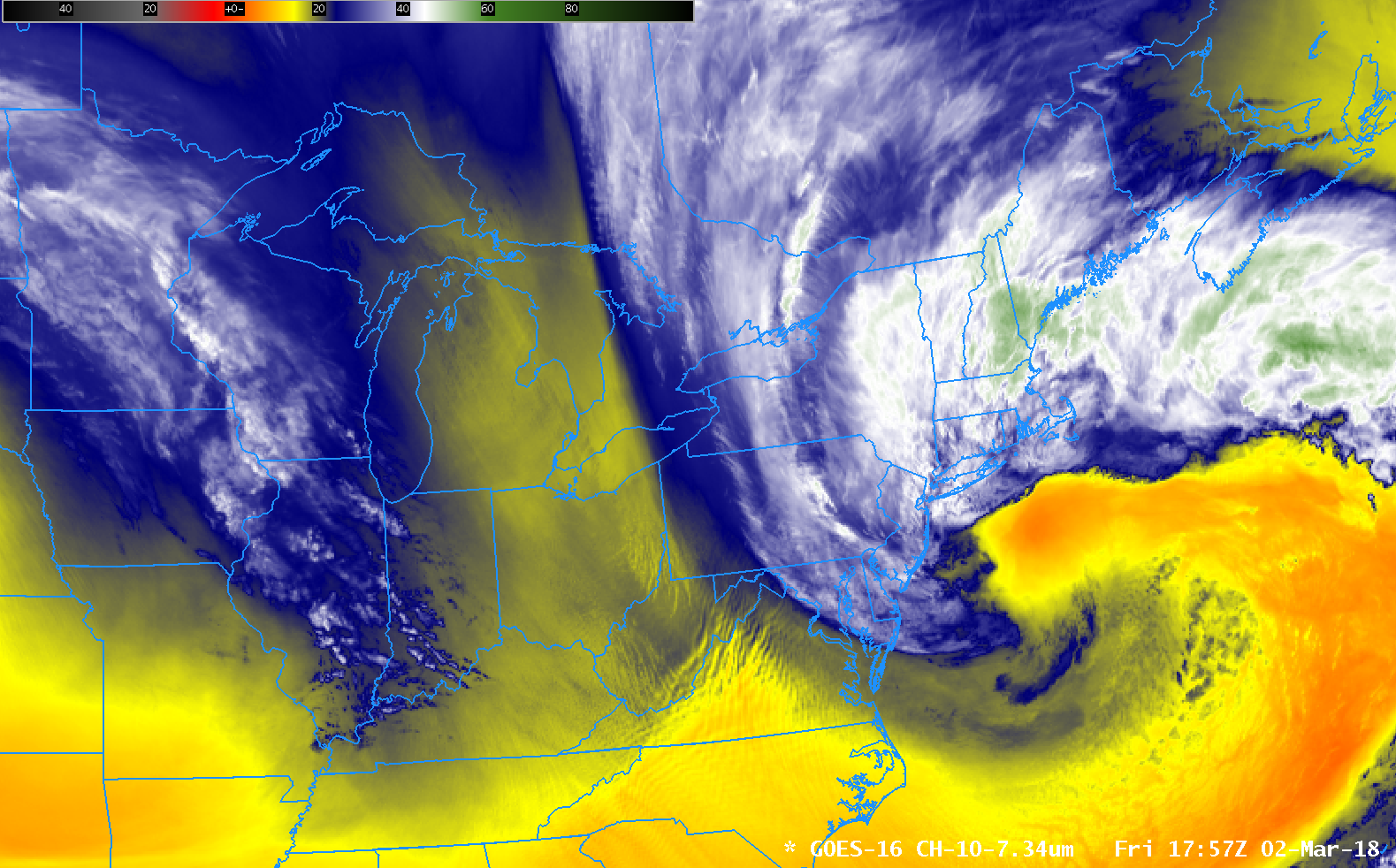
GOES-16 ABI Band 10 (Low-Level Water Vapor, 7.3 µm) Infrared Imagery, 0507-1757 UTC on 2 March 2018 (Click to animate)
The evolution of a very strong Nor’easter on the East Coast of the United States for the twelve hours ending at ~1800 UTC on 2 March 2018 is shown above. During this time period, the storm produced winds that shut down schools and Government in the Nation’s Capitol (and elsewhere), with High Wind Warnings widespread from North Carolina to Massachusetts (Link, from this site). Significant Coastal Flooding is likely in New England with this storm.
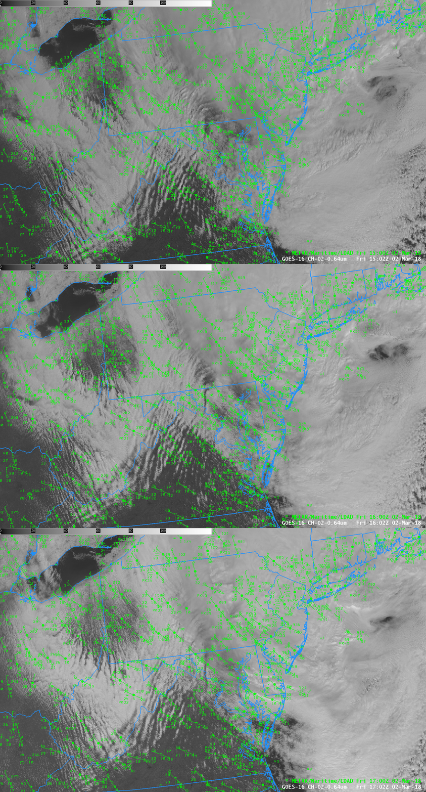
One of the Level 2 Products produced with GOES-R Series Satellite (GOES-16 and soon, GOES-17) data are Derived Motion Wind Vectors at various levels. The images below show winds of up to 70 knots (!!) at or below 900 hPa over the Chesapeake Bay between 1627 and 1657 UTC on 2 March. Observations (bottom) show numerous surface gusts exceeding 50 knots in the region during that time.

GOES-16 ABI Band 10 (Low-Level Water Vapor, 7.3 µm) Infrared Imagery, 1627 and 1657 UTC on 2 March 2018, with Derived Motion Winds in excess of 50 knots at ~1000 hPa (red) and ~900 hPa (Magenta) plotted (Click to enlarge)

GOES-16 ABI Band 2 (“Red” Visible, 0.64 µm) Visible Imagery, 1502, 1602 and 1702 UTC on 2 March 2018, with surface observations plotted in green (Click to enlarge)

