Summary of the 02-03 March Nor’Easter
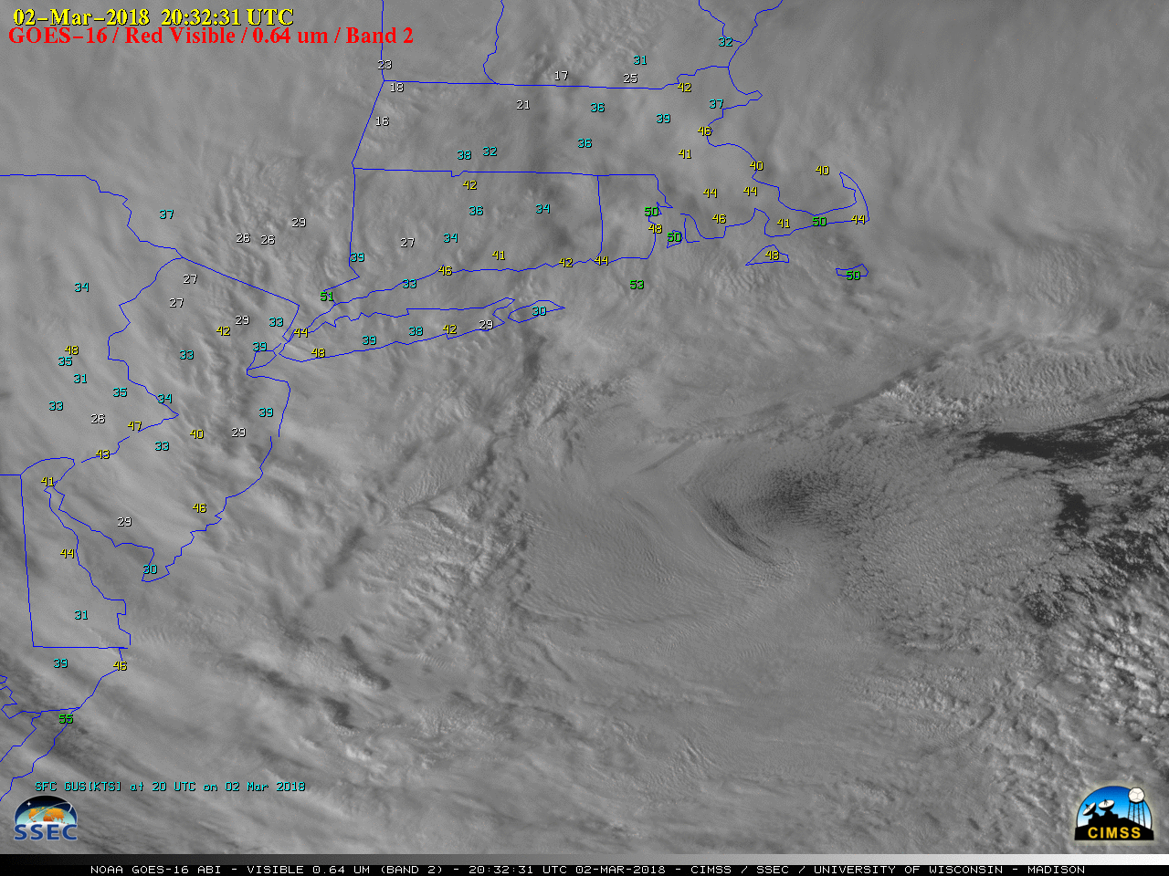
GOES-16 “Red” Visible (0.64 µm) images, with plots of hourly wind gusts [click to play MP4 animation]
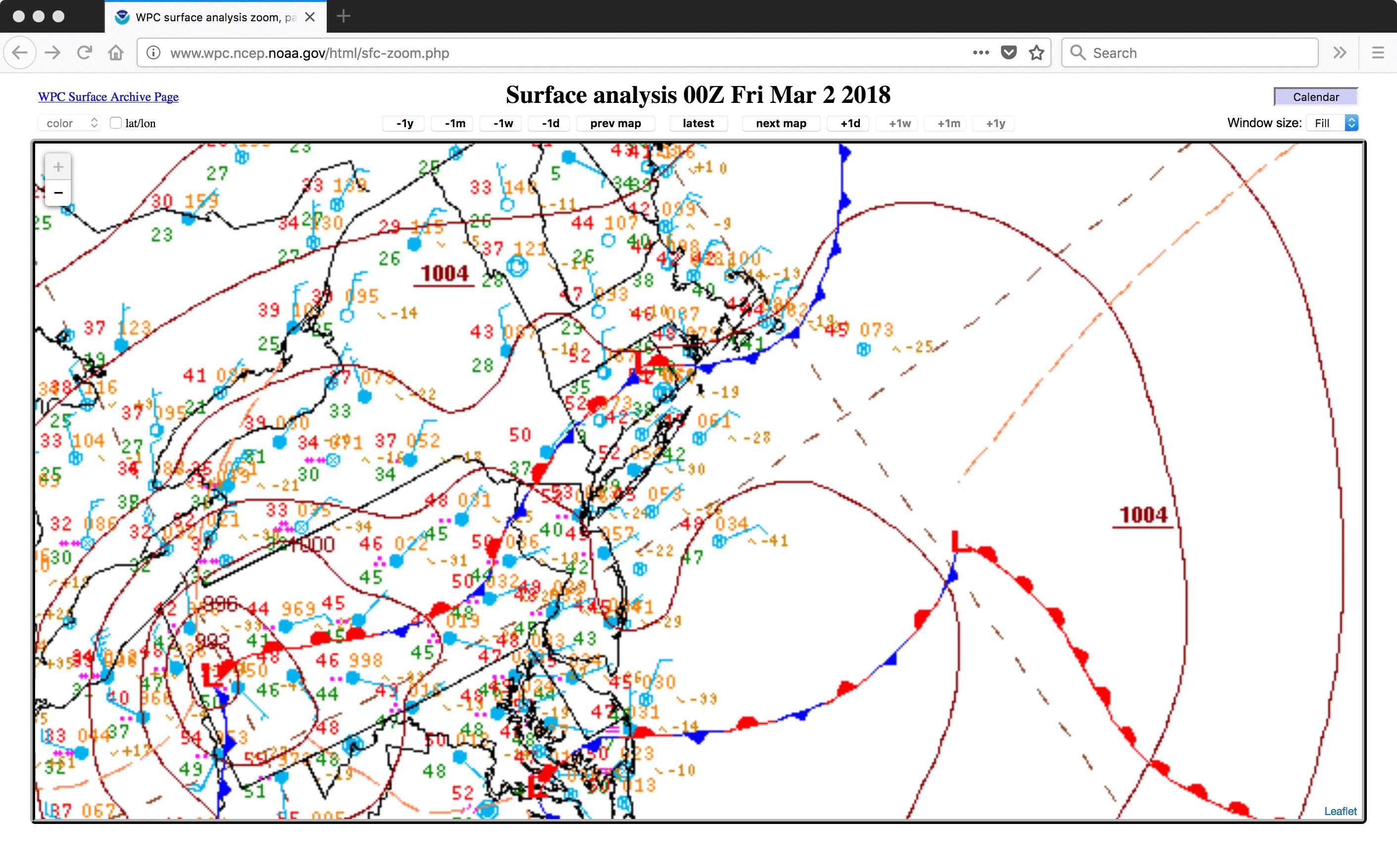
A 2-day animation of GOES-16 Mid-level Water Vapor (6.9 µm) images (below) showed the evolution of the storm as it moved from the Great Lakes to the Atlantic Ocean (surface analyses). A summary of the peak wind gusts and highest snowfall/rainfall totals can be seen here and here.
![GOES-16 Mid-level (6.9 µm) images, with plots of hourly wind gusts [click to play MP4 animation]](https://cimss.ssec.wisc.edu/satellite-blog/wp-content/uploads/sites/5/2018/03/G16_WATER_VAPOR_NOREASTER_02_03MAR2018_960x1280_B9_2018061_180223_0001PANEL_00217.GIF)
GOES-16 Mid-level Water Vapor (6.9 µm) images, with plots of hourly wind gusts [click to play MP4 animation]

GOES-16 “Red” Visible (0.64 µm) images, with surface fronts and Metop ASCAT surface scatterometer winds [click to play MP4 animation]
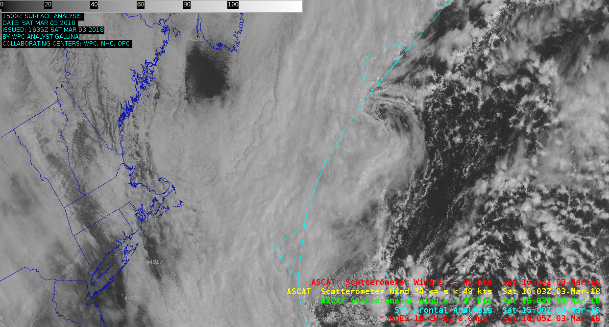
![GOES-16 Mid-level (6.9 µm) images, with surface fronts and Metop ASCAT surface scatterometer winds [click to play animation]](https://cimss.ssec.wisc.edu/satellite-blog/wp-content/uploads/sites/5/2018/03/G16_wv_noreaster-20180303_160522.png)
GOES-16 Low-level Water Vapor (7.3 µm) images, with surface fronts and Metop ASCAT surface scatterometer winds [click to play MP4 animation]
![NOAA-20 True-color RGB image, centered of Lake Erie [click to enlarge]](https://cimss.ssec.wisc.edu/satellite-blog/wp-content/uploads/sites/5/2018/03/180303_1839utc_noaa20_viirs_truecolor.jpeg)
NOAA-20 VIIRS True-color RGB image, centered of Lake Erie [click to enlarge]