ACSPO SSTs in AWIPS at WFO Guam
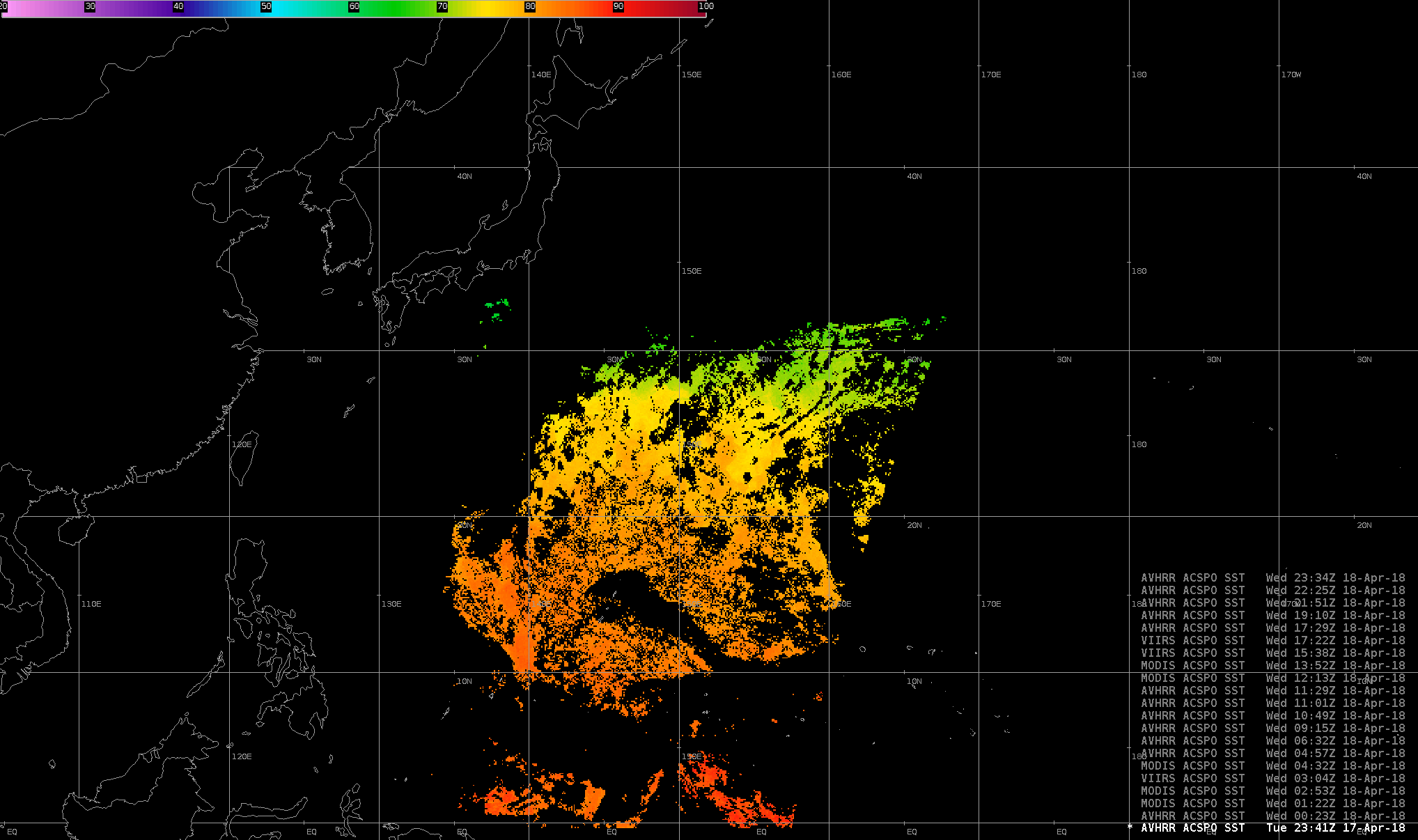
ACSPO SSTs constructed from AVHRR, MODIS and VIIRS data from various overpasses at Guam on 18 April 2018 (Click to enlarge)
Sea Surface Temperatures (SSTs) produced from the Advanced Clear-Sky Processor for Oceans (ACSPO) are now being created in real time at the National Weather Service Forecast Office on Guam (where the National Weather Service day begins). The algorithm is applied to data broadcast from polar orbiter satellites and received at the Direct Broadcast antenna sited at the forecast office. (Link to CSPP ACSPO Algorithm) Because there are so many polar orbiters broadcasting data — NOAA-18, NOAA-19, Metop-A, Metop-B, Suomi-NPP, Terra, Aqua — cloudy pixels on one pass are typically filled in with data from a subsequent pass. When ACSPO software for NOAA-20 is available, data from that satellite will be incorporated as well. The result is a very highly calibrated, accurate depiction of high spatial resolution tropical Pacific SSTs. A composite created every 12 hours from the imagery is also available at the forecast office.