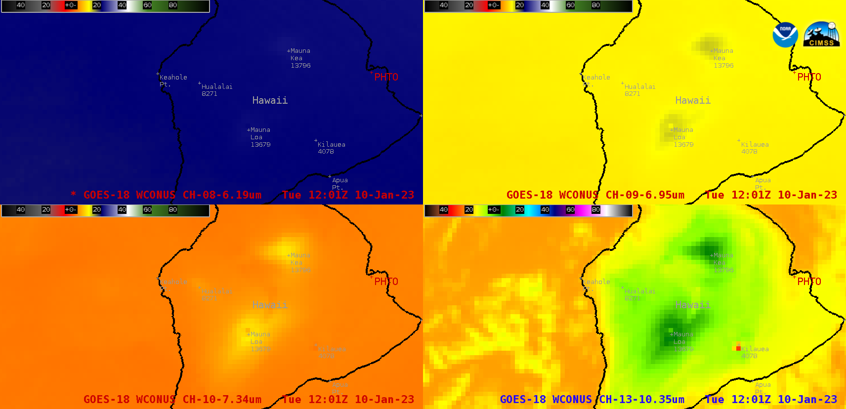
This website works best with a newer web browser such as Chrome, Firefox, Safari or Microsoft Edge. Internet Explorer is not supported by this website.

Category: GOES-18

30-second imagery of severe thunderstorms across Montana

GOES-18 images in this blog post are preliminary and non-operational Overlapping 1-minute Mesoscale Domain Sectors provided GOES-18 “Red” Visible (0.64 µm) images at 30-second intervals (above), which include time-matched SPC Storm Reports. This imagery showed widespread thunderstorms that moved eastward across Montana on 09 July 2022, which produced damaging straight-line winds as strong as 78... Read More

Alaskan wildfire smoke

GOES-18 images in this blog post are preliminary and non-operational GOES-18 True Color RGB images created using Geo2Grid (above) showed smoke from Alaskan wildfires that had been transported southward over Kodiak Island and the northern Gulf of Alaska. Most of this smoke remained aloft — note that although Kodiak began... Read More