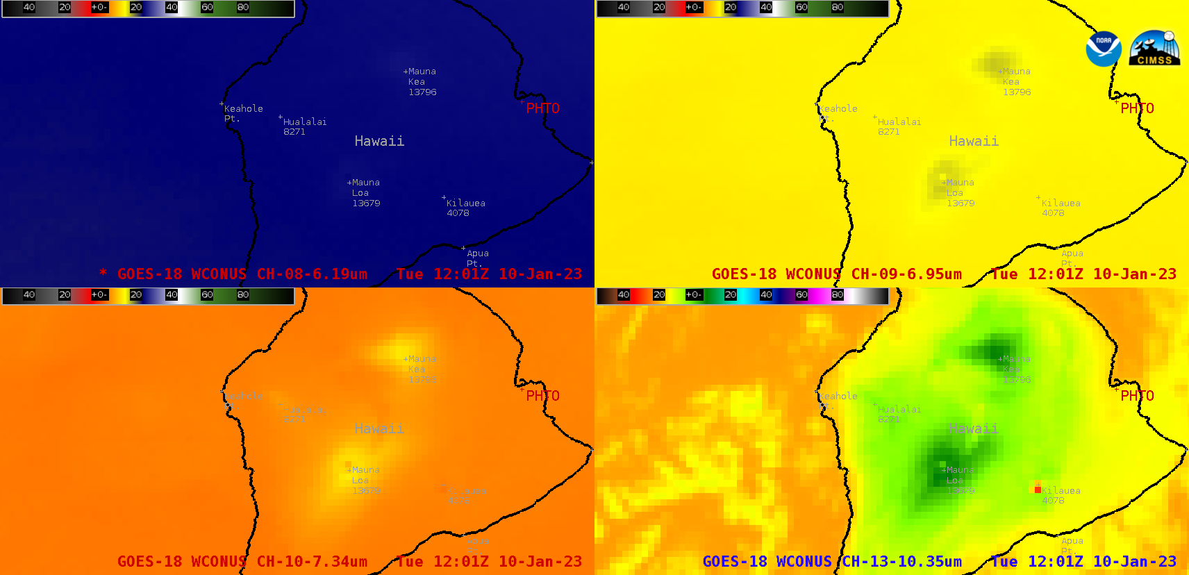
Water Vapor imagery sensing the surface of Hawai’i

GOES-18 Upper-level Water Vapor (6.2 µm, upper left), Mid-level Water Vapor (6.9 µm, upper right), Lower-level Water Vapor (7.3 µm, lower left) and “Clean” Infrared Window (10.3 µm, lower right) [click to play animated GIF | MP4]
The presence of very dry air within most of the middle/upper troposphere over Hawai’i on 10 January had the effect of shifting the water vapor weighting functions to lower altitudes, as seen on plots for the 3 ABI Water Vapor bands calculated using 12 UTC rawinsonde data from Hilo PHTO (below). This allowed thermal radiation from the higher terrain to pass upward — with minimal attenuation — through what little high-altitude moisture was present and reach the 7.3 µm / 6.9 µm / 6.2 µm detectors on GOES-18.


