This website works best with a newer web browser such as Chrome, Firefox, Safari or Microsoft Edge. Internet Explorer is not supported by this website.

Category: GOES-16

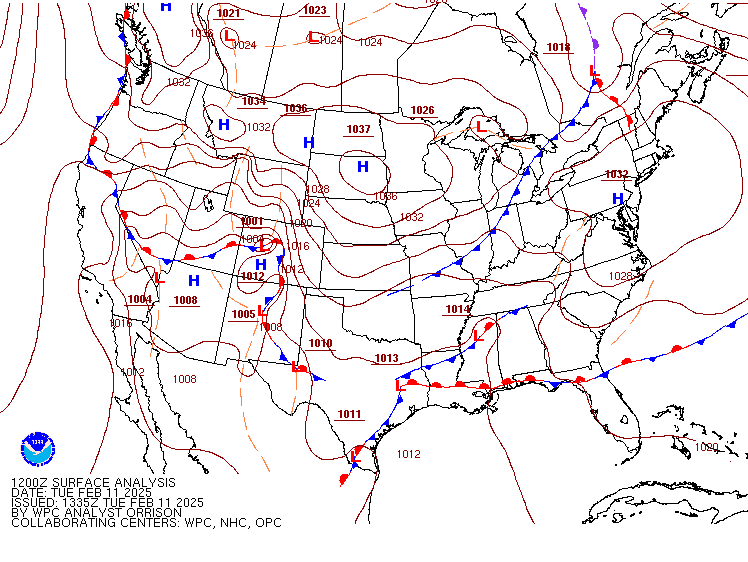
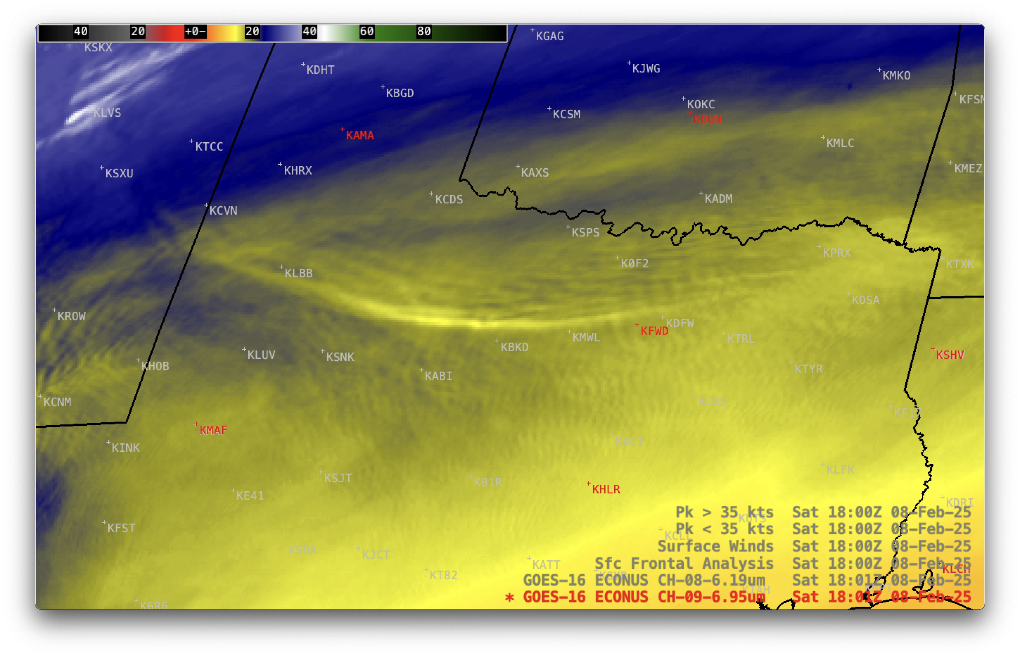
Interpreting IR imagery in bitter cold

The dominant story in the continental United States on February 18 is the significant winter weather that is impacting nearly every state east of the Rocky Mountains. A glance at this morning’s National Weather Service alert map shows a continuous band of cold weather warnings from the Canadian border down... Read More

Blowing dust across parts of Mexico, New Mexico and Texas — as viewed by 4 GOES

10-minute Full Disk scan Dust RGB images from GOES-18 (GOES-West), GOES-17, GOES-19 (Preliminary/Non-operational) and GOES-16 (GOES-East) created using Geo2Grid (above) showed vivid signatures of blowing dust (brighter shades of magenta) that originated over parts of northern Mexico and southwestern New Mexico — and was subsequently transported northeastward across southern New Mexico... Read More

High Pressure Doesn’t Always Mean Clear Skies

One of the first things that meteorologists learn in their Intro to Weather class is that low pressure means cloudy skies and rain while high pressure means clear skies and sun. Of course, the second thing that meteorologists learn is that weather often doesn’t behave in a textbook way. The... Read More