Blowing dust across eastern New Mexico and western Texas

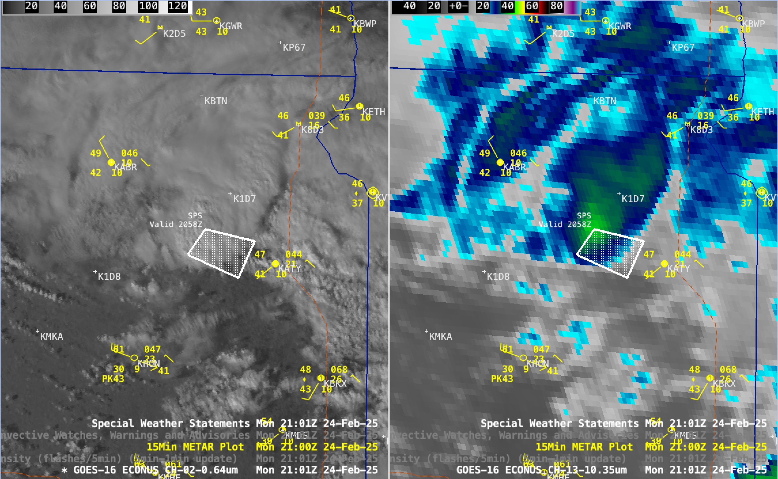
5-minute CONUS Sector GOES-16 (GOES-East) Visible images (above) showed the strong winds — associated with the passage of a cold front — which produced widespread areas of blowing dust across parts of southern/eastern New Mexico and western/northern Texas on 03 March 2025. This blowing dust caused marked reductions in visibility — leading to closures... Read More


