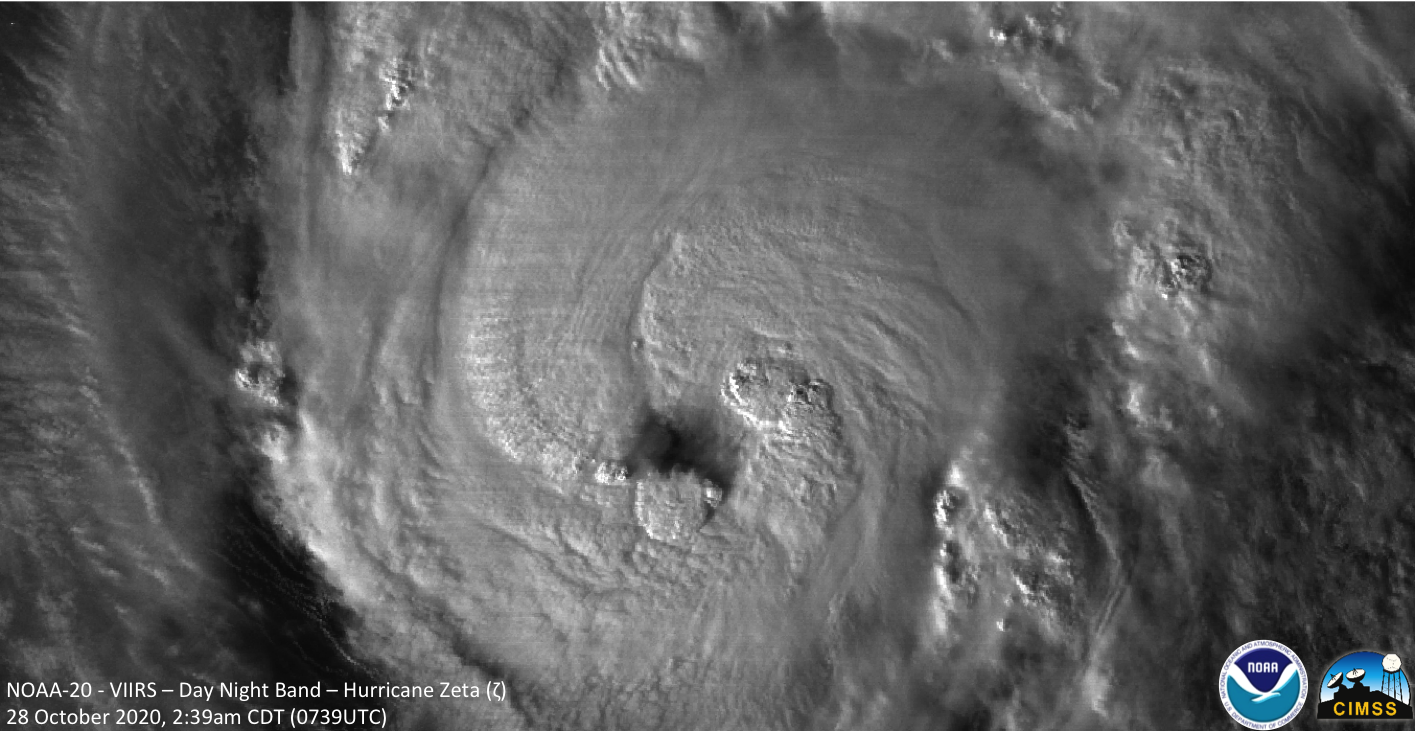
Tropical Storm Eta over the Gulf of Mexico
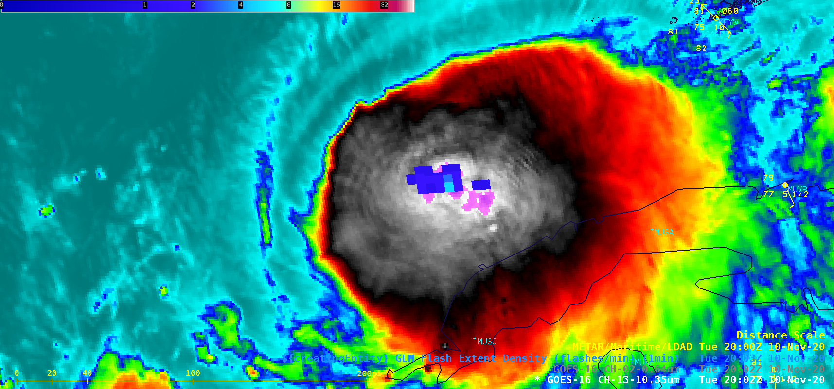
A toggle between Suomi NPP VIIRS Infrared Window (11.45 µm) and Day/Night Band (0.7 µm) images at 0734 UTC (above) showed Tropical Storm Eta over the Gulf of Mexico (northwest of Cuba) on 10 November 2020. A large convective burst was seen southeast of the storm center, with concentric cloud-top... Read More