Creating and Displaying gridded GLM fields using data from NOAA CLASS
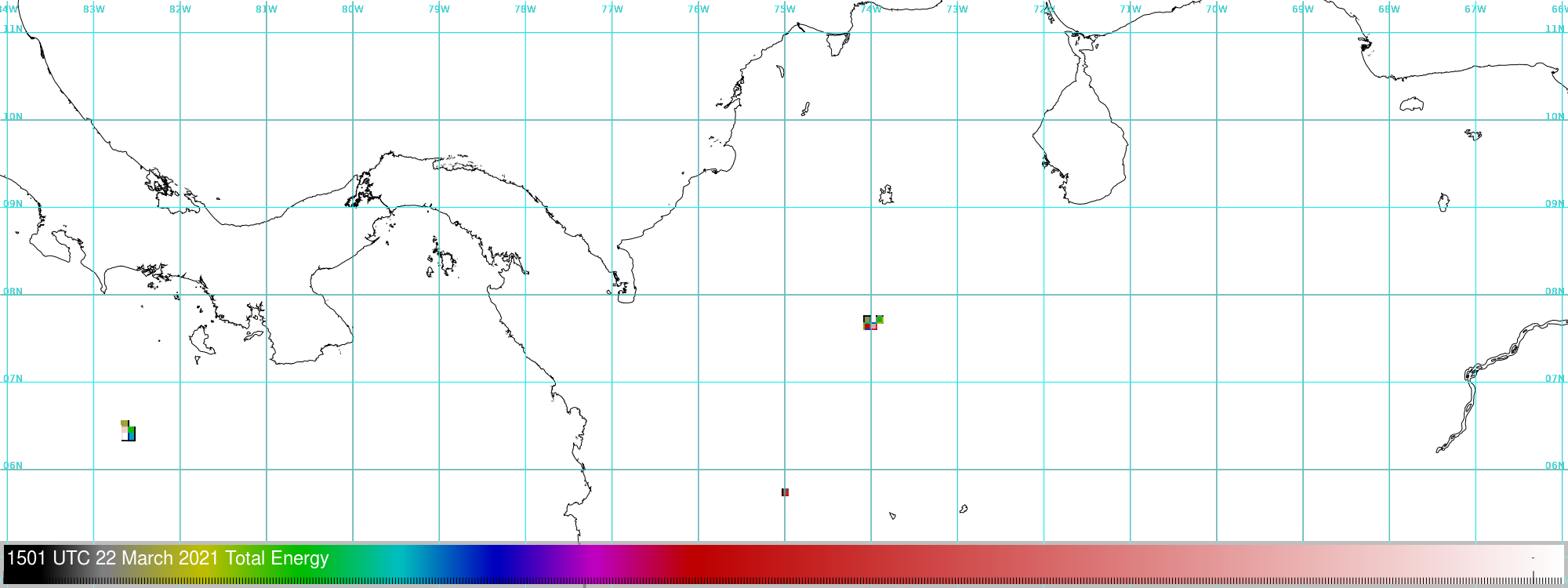
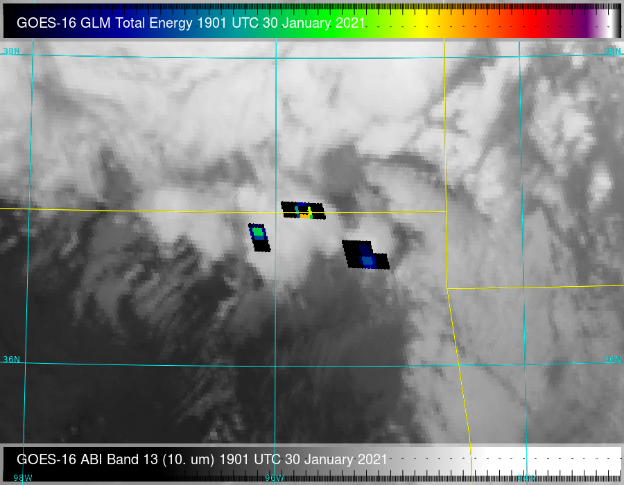
This blog posts describes how to use NOAA’S CLASS (Comprehensive Large Array-data Stewardship System) system (link) that contains Level-2 GLM data, (under the GOES-R Series GLM L2+ Data Product (GRGLMPROD) tab) to create useable GLM imagery. GLM processing produces three Level 2 files each minute, and those files can be processed to produce imagery. First, choose... Read More
