GOES-17 Scanning designed to reduce heating-caused data outages
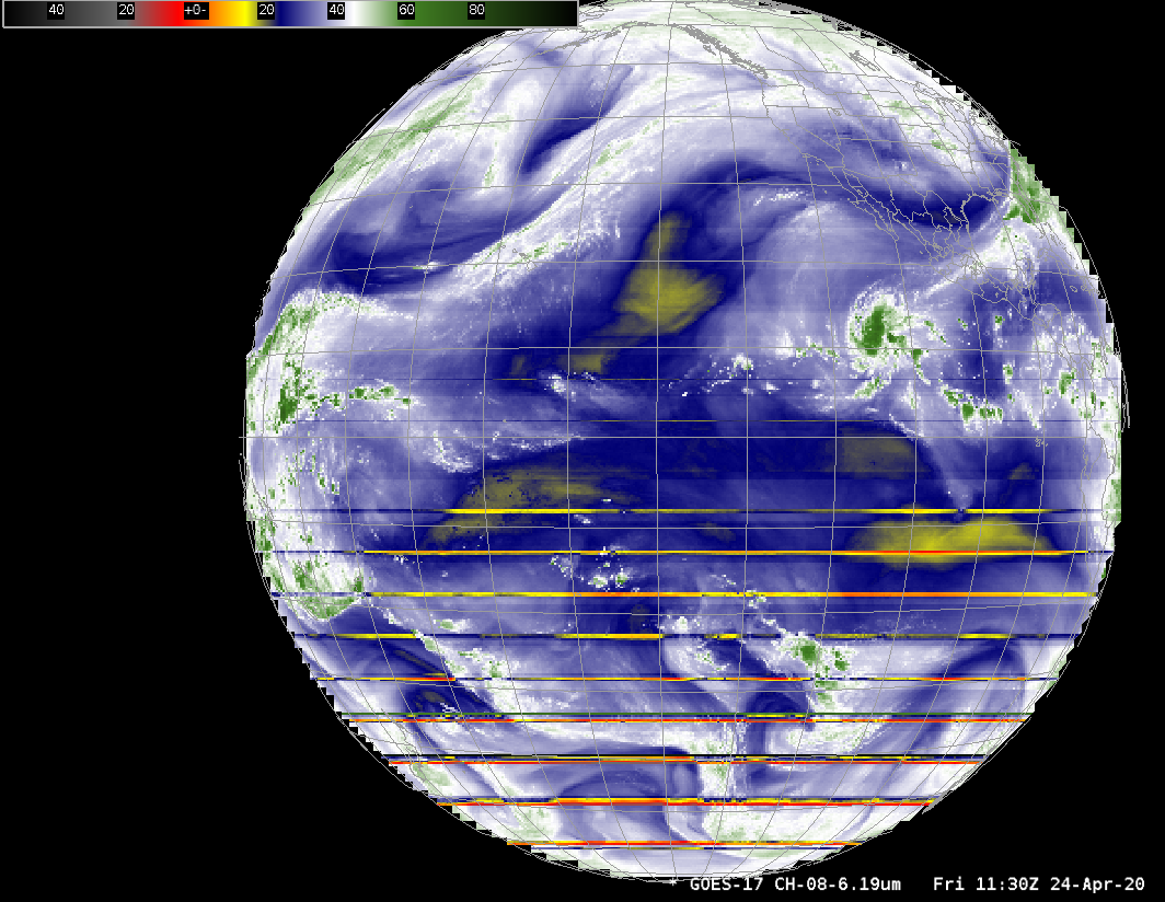
NOAA/NESDIS has modified the GOES-17 Mode 6 scanning schedule during times of increased data-outages related to the faulty Loop Heat Pipe (LHP) mechanism (Blog Post 1, 2, 3 on that subject; see also here) on GOES-17. (The OSPO Notification is here). Between 0600 and 1200 UTC, Full Disk scans are... Read More
