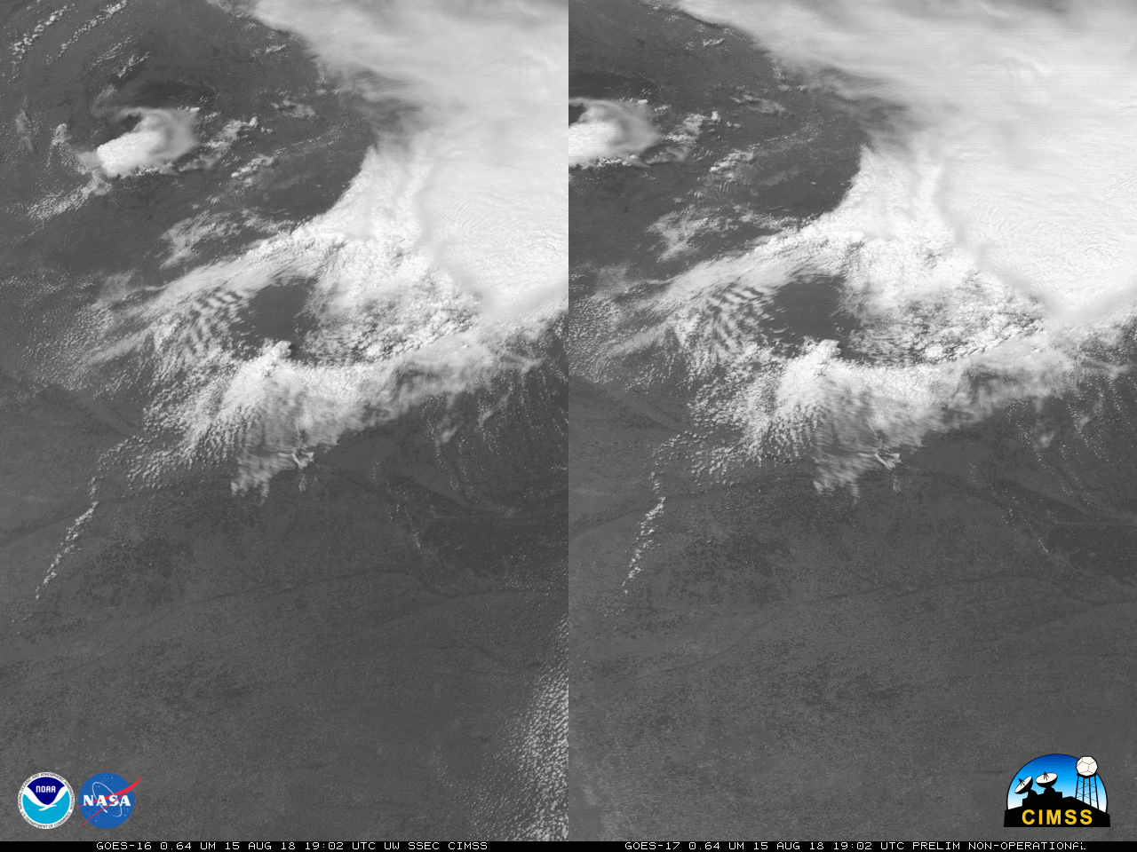
Stereoscopic view of Severe Convection over Nebraska

GOES-16 (Left) and GOES-17 (Right) Visible (0.64 µm) Imagery over Nebraska, 1902 UTC 15 August – 0157 UTC 16 August 2018 (Click to play mp4 animation)
GOES-17 Data shown in this post are preliminary and non-operational!
A Strong thunderstorm developed over Nebraska on 15 August (read more below), depositing baseball-sized hail in Arthur County. This storm was sampled by a GOES-16 Mesoscale sector, and the 1-minute imagery allowed views of the rotating updraft (Link). The stereoscopic view above, from the GOES-16 and GOES-17 CONUS sectors, shows the development and evolution of the storm at 5-minute increments (Click here for animated gif). To view the storm in three dimensions, cross your eyes until you view 3 images, and focus on the image in the middle. This storm develops the above-anvil cirrus plume that has been shown to be associated with severe weather, as in this case.

