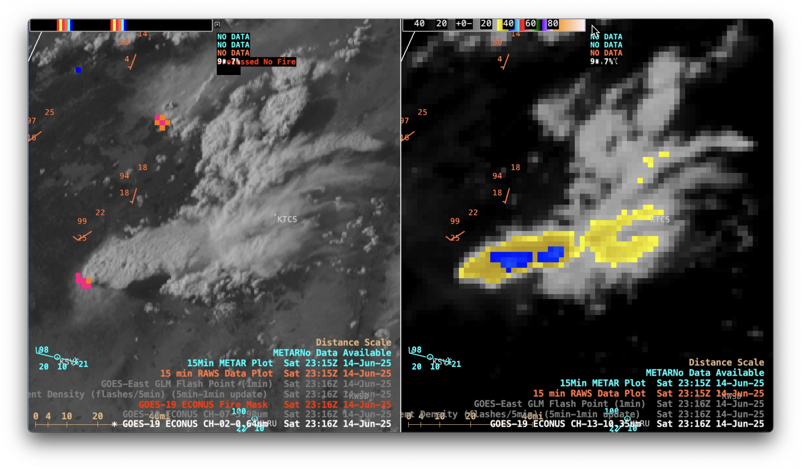
Wildfires produce pyrocumulonimbus clouds in Alaska
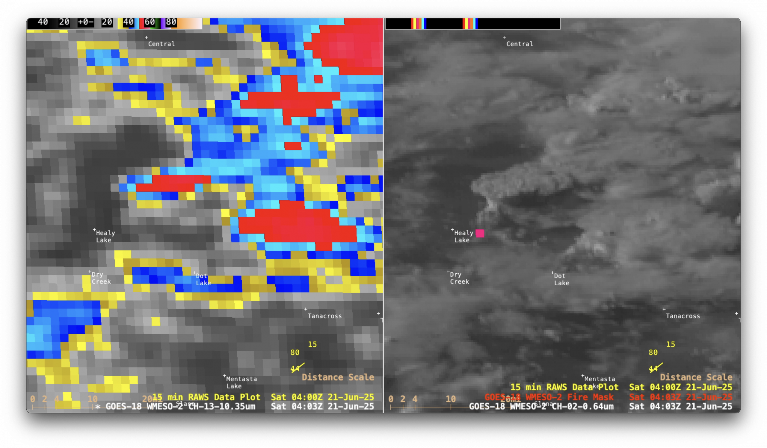
1-minute Mesoscale Domain Sector GOES-18 (GOES-West) “Clean” Infrared Window (10.3 µm) images and “Red” Visible (0.64 µm) images with an overlay of the FDCA Fire Mask derived product (above) showed that a wildfire southwest of Nenana, Alaska (METAR site PANN) produced two pyrocumulonimbus (pyroCb) clouds late in the day on... Read More