Powerful early October storm: blizzard conditions, and severe thunderstorms
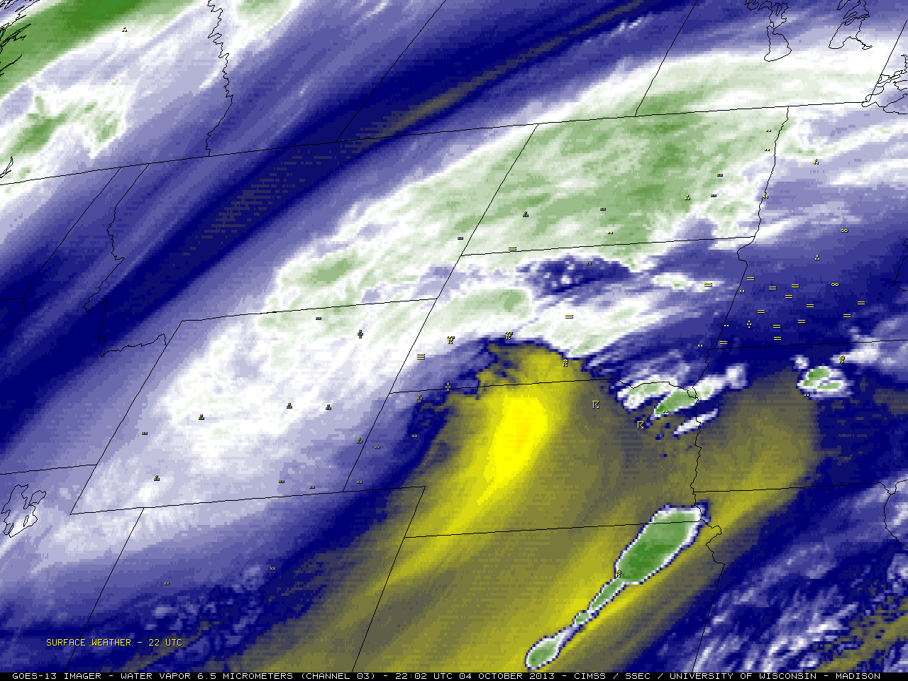
An unusually intense (by early October standards) mid-latitude cyclone produced a variety of weather extremes across the parts of the north-central US during the 04 October to 05 October 2013 period. In the cold sector of... Read More
